By: Raul Osorio, Costal Resiliency Program Manager, WSB
October 23, 2025
Coastal communities in North Florida are facing significant climate related challenges. The impacts of rising sea levels, intensified hurricanes, king tides, and increased rainfall are leading to more frequent flooding events and placing considerable strain on infrastructure systems that were not built to withstand today’s and beyond environmental scenarios. As these risks grow, so does the need for infrastructure that is not only durable, but resilient and sustainable.
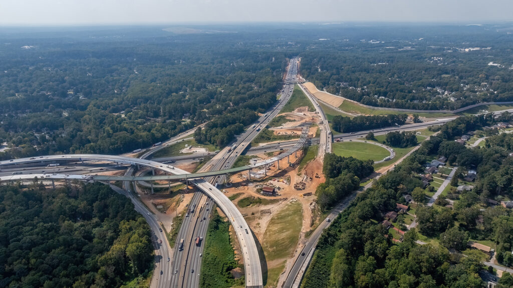
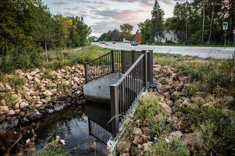
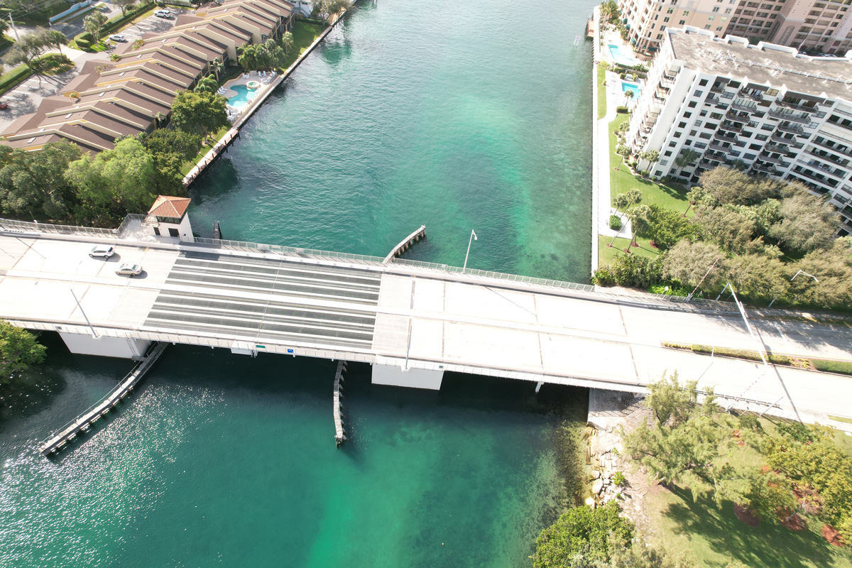
Resilience in infrastructure means more than just hardening assets. It’s about designing systems that can absorb shocks, recover systems quickly, and adapt over time. In coastal regions, this includes everything from elevating roadways and reinforcing bridges, to rethinking stormwater management and utility networks. It also means planning for long-term sea level rise scenarios, not just short-term storm events.
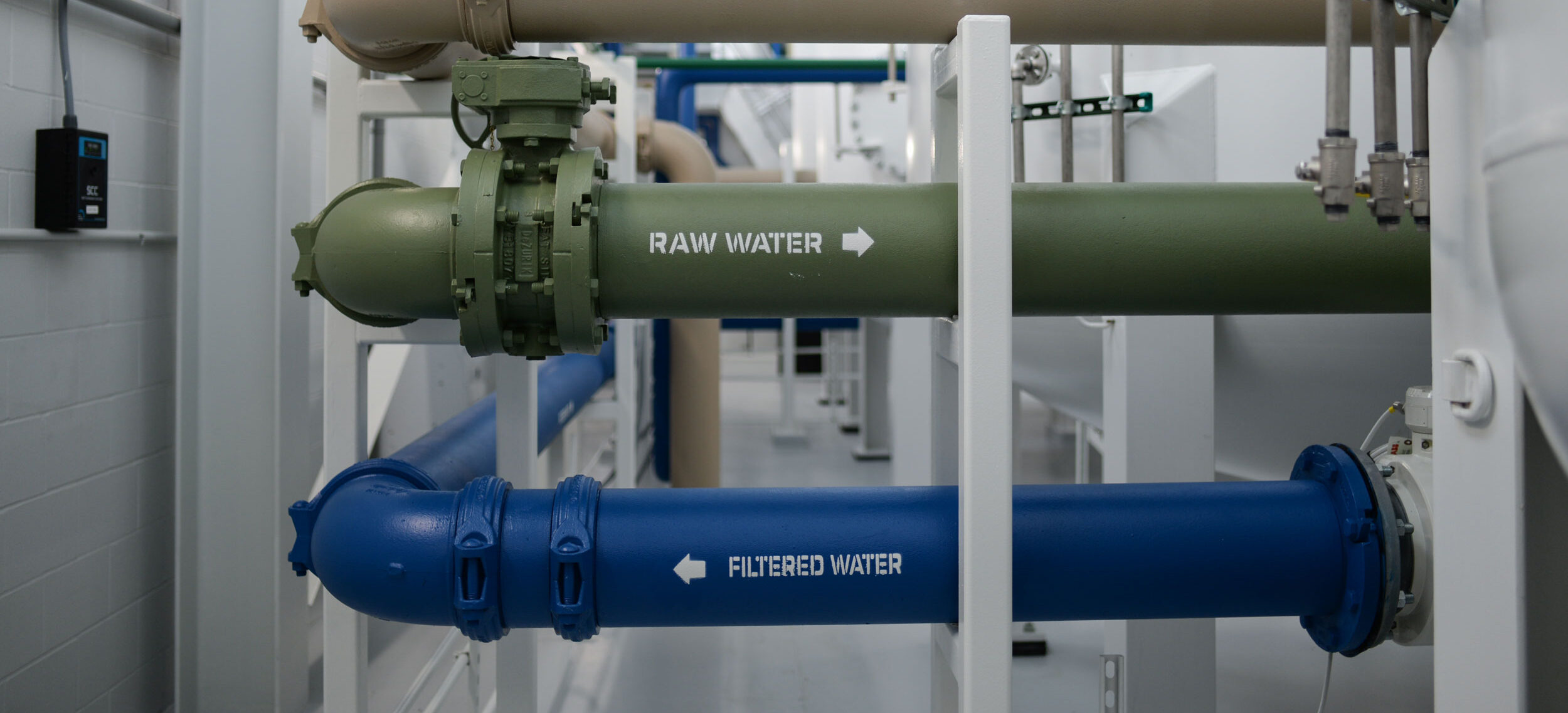
Communities across North Florida are already experiencing the consequences of outdated infrastructure as they face natural hazards. Nuisance flooding disrupts transportation and emergency services. Saltwater intrusion threatens drinking water supplies and storm damage leads to costly repairs and economic setbacks. These challenges demand a proactive and sustainable, integrated approach to infrastructure planning and design.
Nature-Based and Hybrid Solutions
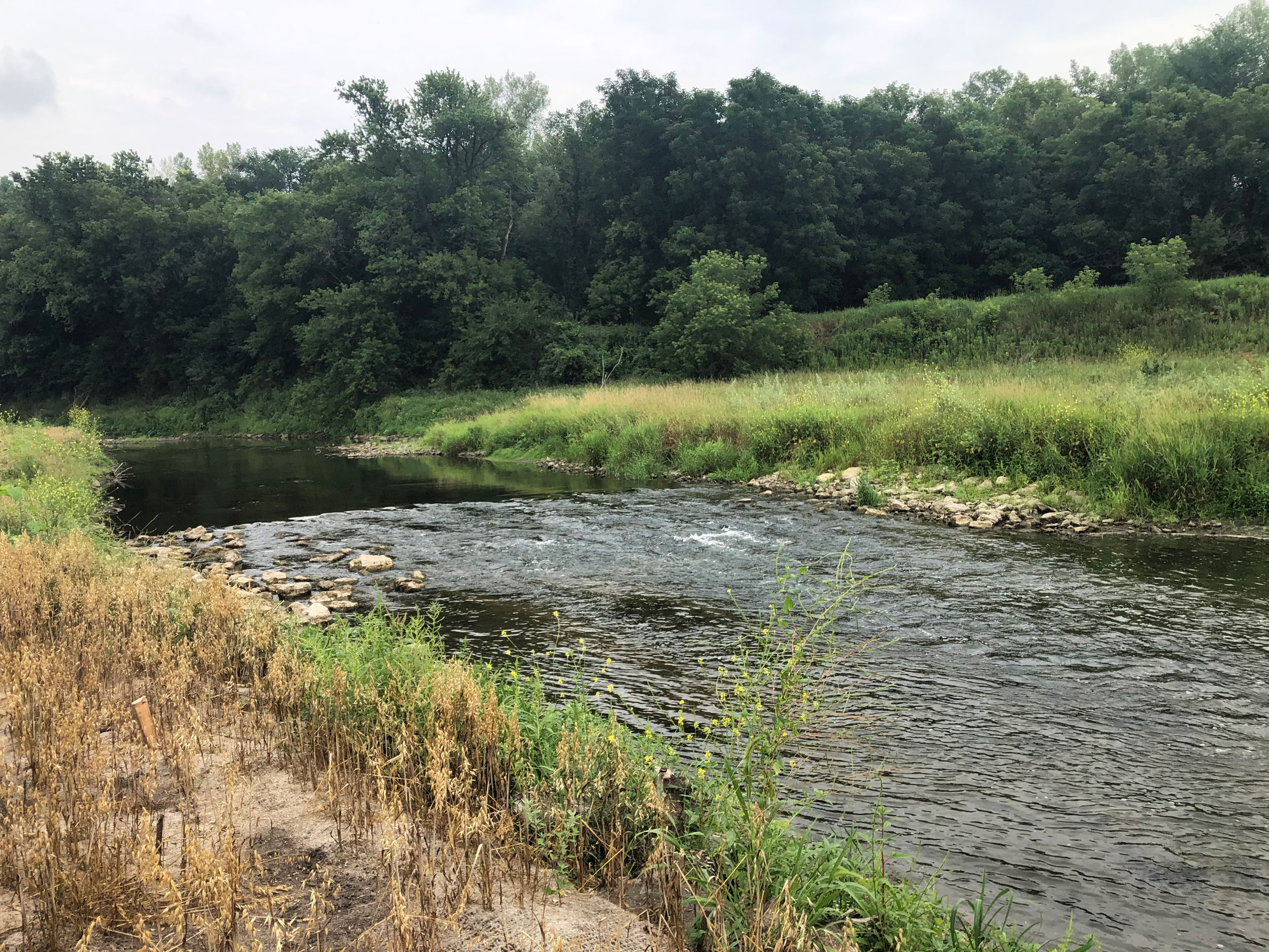
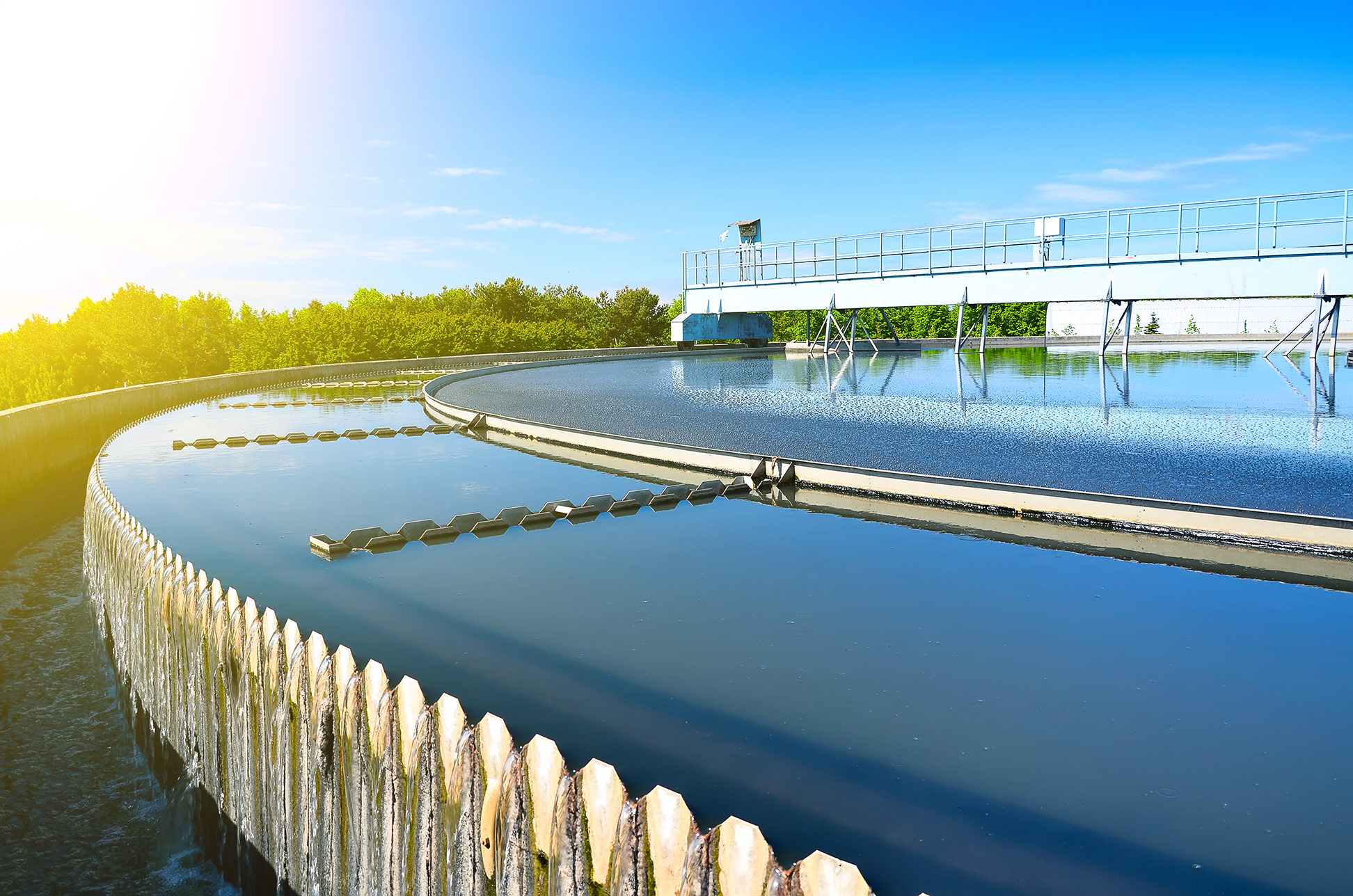
One of the most promising strategies for coastal resilience is the integration of nature-based solutions. These approaches use natural systems like wetlands, dunes, and mangroves to buffer storm impacts and restore ecological balance. When combined with traditional engineering methods such as seawalls, they create hybrid systems that are both effective and sustainable.
For example, living shorelines can reduce erosion while creating habitats, improving water quality and enhance community resilience. Green infrastructure, such as bioswales and permeable pavements, can reduce runoff and improve water quality. These solutions not only enhance resilience but also provide co-benefits like improved aesthetics, recreational opportunities, reduction in flood risk, and habitat restoration.
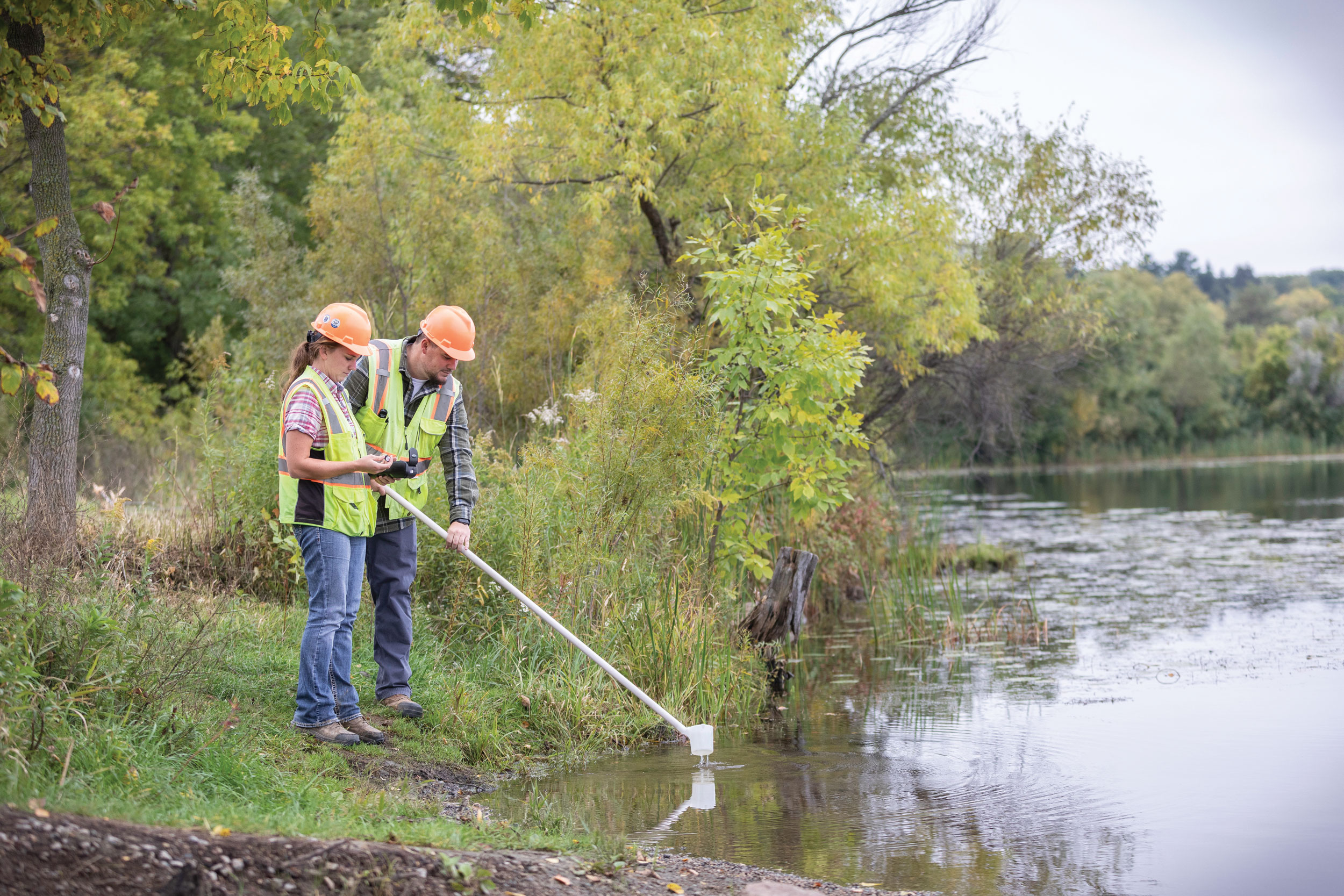
Planning with Data and Community Insight
Resilient infrastructure begins with informed planning. This means using data such as flood modeling, climate and sea level rise projections, and GIS mapping to identify vulnerabilities and prioritize investments. But it also means engaging with communities to understand local needs, values, and risks.
Effective resilience planning is iterative and inclusive. It brings together engineers, planners, environmental scientists, and community stakeholders to co-create solutions that are technically sound and socially equitable. In coastal areas, this often involves balancing development pressures with environmental preservation and long-term risk reduction.
Funding and Implementation
While the need for resilient infrastructure is clear, funding remains a major hurdle. Fortunately, there are growing opportunities through federal, and state programs focused on climate adaptation and disaster mitigation. Successful implementation often hinges on the ability to align technical planning with grant requirements, permitting processes, monitoring and long-term maintenance strategies.
Communities that take a proactive stance by developing resilience plans, identifying shovel-ready projects, and building cross-sector partnerships are better positioned to secure funding and develop sustainable and adaptive projects.
Looking Ahead
Designing resilient infrastructure for coastal communities is not a one-time effort. It’s an ongoing process that requires foresight, flexibility, and collaboration. As North Florida continues to grow and change, so must the systems that support it. Reducing long term costs, protecting critical infrastructure, and enhance public safety and reliability will help. By combining strategic planning, innovative design, technology, and environmental stewardship, we’re working to create a more resilient future one project, one partnership, and one coastal community at a time.
WSB is committed to helping communities build infrastructure that stands the test of time and supports sustainable growth. As a trusted partner of the Florida Department of Transportation, WSB assisted in restoring North Florida communities in the aftermath of Hurricane Debby and Helene by providing debris management and traffic signal restoration.