Wildfires

The Impacts of Wildfire and Planning for Extreme Climate Events

By Tony Havranek​, Director of Fisheries, WSB

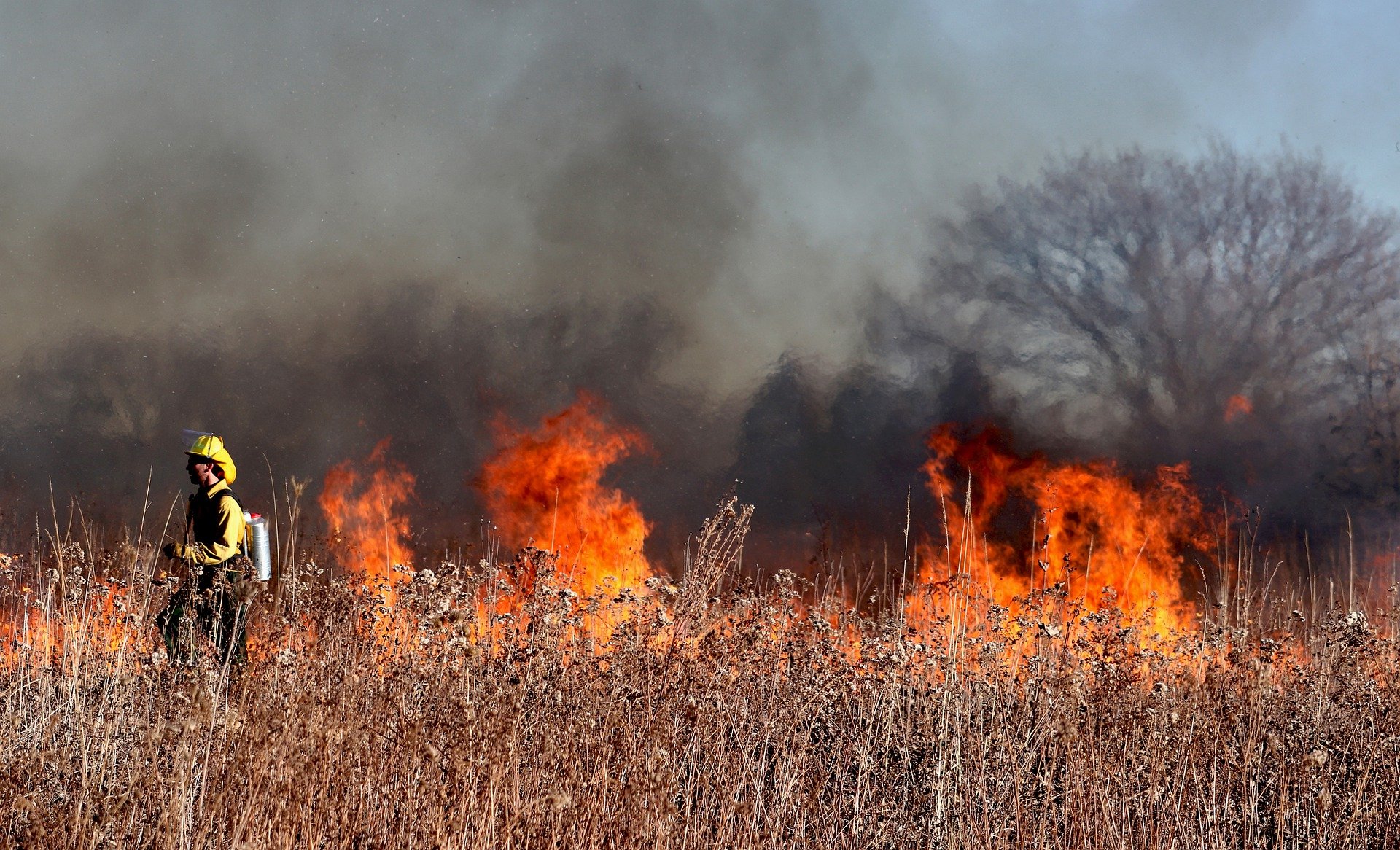
Wildfires are dominating headlines this summer as cities across the United States are dealing with the dangerous air conditions created by the fires in Canada. Wildfires can be incredibly scary, ushering in unwanted destruction and loss of property, but it can also be a tool for rebirth and habitat restoration.

As an ecologist, I have used controlled fire as a tool. Taking a long view of plants and wildlife, many species rely on a natural cycle of disruption that includes fire, wind, animals and more. The Jack Pine, for example, requires fire to help open its cone and release seeds. Many invasive species don’t require cycles of disruption, on the other hand, and thrive among human development.

What are the Risks that Wildfire Bring?

The clearest risk with any uncontrolled fire is destruction of life and property. Wildfires are incredibly dangerous, and this summer’s hot, dry weather helped exacerbate fires in the north. Furthermore, as climate change brings more extreme weather conditions, the carbon released from large wildfires drives further warming, feeding the cycle for more extreme weather events.

Poor forest management and extreme weather can also cause fires to burn more intensely. Too much fuel load – material in a given area that burns and can dramatically increase the intensity of a fire –means that a fire may burn faster and hotter. Intense wildfires can destroy soil to the point it is hydrophobic, repelling water instead of absorbing it. It can also destroy good bacteria and fungi in topsoil. The destruction of soil from extreme wildfires can make it more difficult for new plants to grow, cause soil erosion that pollutes streams and waterways, increase the risk of flash flooding and harm local ecosystems.

As fire crews work to fight wildfires, that can also bring some environmental risk. The flame retardant used to control the spread of fires can be toxic to certain plants and animals. And when fire crews travel from one part of the country to another to fight large wildfires, they can unintentionally introduce invasive species to new regions.

What are the Environmental Benefits?

When we read about wildfires in the news, the stories are often focused on destruction, but fire can bring environmental and ecological benefits too. Because humans have disrupted many of the natural fire cycles, burning can help reset plant species. Plants are an essential building block to ecosystems, and new plant growth can help reattract or grow the population of numerous native wildlife species. Moose, bears and deer are some of the species that can be positively impacted by regeneration after fires.

Better Planning for Fires and Other Natural Disasters.

While proper forest management and use of controlled fire helps mitigate the risk of destructive wildfires, climate change and human activity means wildfires, unfortunately could become more commonplace in certain parts of the world. Planning for and building defensible space and structures reduces risk from wildfires. Working with municipalities at WSB, we often talk about planning for flooding, erosion, hurricanes and other extreme weather events to protect infrastructure, people and native wildlife.

For communities, especially those that face a greater risk of wildfire due to climate change and other factors, assessing the threat of fire and integrating defensible space and structures into planning is critical. I expect that to become a more prevalent consideration as part of innovative municipal planning in future decades.


Havranek has nearly 20 years of experience in the natural resources field. Prior to his time at WSB, Tony helped develop federal policies with the U.S. Fish and Wildlife Service and worked with tribal communities throughout the Midwest on their natural resources needs. He is recognized throughout the industry for his forestry, water quality, fisheries, aquatic and terrestrial vegetation, wetlands and wildlife expertise.

[email protected] | 651.286.8473

Chlorides

The Road to Reducing Chlorides

By Chris Petree, Director of Operations, Alison Harwood, Director of Natural Resources, and Ray Theiler, Water/Wastewater Engineer

Understanding chlorides and making responsible decisions about them is challenging at best. They serve important functions in our everyday life, but they can also create lasting damage to the world around us. Learn more about how the chlorides are used on a day-to-day basis, what the long term affects are, and what options are available to properly manage them.

What are chlorides and how do they play a role in our lives?

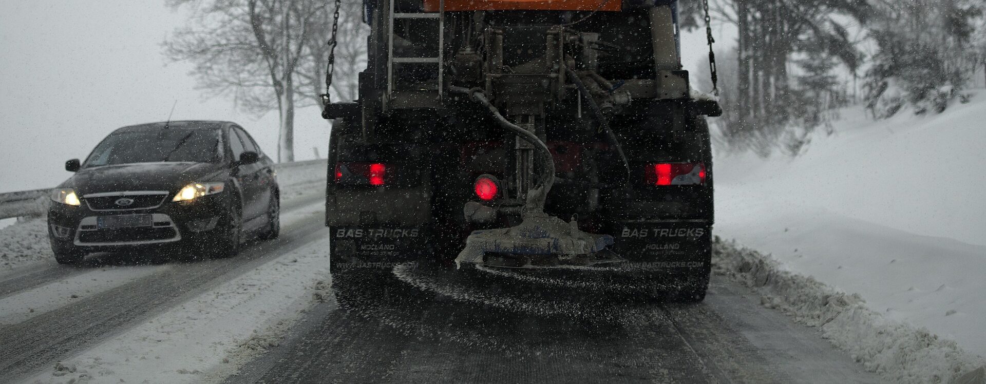
Simply put, chlorides are salt. They play a big role in Minnesota life. Primarily, they are used in our water softeners to treat the state’s notoriously hard water and for de-icing the roads during winter months.

What negative impacts does over usage of chloride have?

Overuse of chlorides can affect our communities in a variety of ways. Understanding their full impact can be nearly impossible to calculate. Below are just a few of the ways people should be aware of.

Community water supplies: Many of our communities get their water from groundwater wells. They pull water from the ground to provide a public water supply. Excessive use of chlorides leads to groundwater contamination which makes its way into lakes and rivers and ponds, ultimately infiltrating the groundwater. When the groundwater develops high chloride levels or contamination, it becomes a safety issue that communities need to address.

Plants and wildlife: When concentrations of chlorides get high enough, it begins to kill plant life and setting off a domino effect in the eco systems. High levels of chloride destroy plant roots in aquatic systems resulting in fewer plants rooted to the lakebed. The lack of supportive root systems compromises bed stabilization and leads to more opportunity for sediment to be churned up, resulting in reduced water transparency and water quality. Salt used on roads can negatively affect wildlife and local pets. These animals often eat the salt used on roadways which can lead to illness or death. Even animals who need added salt in their diet are in danger, they are attracted to roadways (i.e., deer) causing safety concerns for the animals and drivers.

Infrastructure and transportation: Regardless of the application, we know that salt can be destructive and can lead to damage. Metal is particularly susceptible to salt damage.

  • High levels of chlorides on the streets have historically had a negative affect on vehicles. The salt on the roads builds up on the vehicles leading to premature rusting.
  • Pumping water with high chloride levels through pipes can lead to corrosion within water distribution systems, which in turn leads to issues with lead and copper in our water system.
  • The chlorides in the water cause premature degradation and failures of storm sewer systems, specifically in catch basins and manholes.

What are the benefits of reducing chloride usage?

The benefits of reducing chlorides are a long list that includes protecting the environment, the health of the community, and local infrastructure. However, often cost is the factor that really creates urgency around reducing chlorides.

Introducing the chlorides into the environment will ultimately require repair and rehab of groundwater systems, storm water systems, water infrastructure, wetlands, etc. All these systems have costs associated with them.

Acquiring the salt is another expense. Whether a small city, county, or state, the budget needed for de-icing is huge. Salt and de-icing chemicals are not produced locally. They can only be delivered by truck, train, or barge from the South. Taxpayer dollars are the how this transportation is funded, reducing chlorides frees up tax dollars to support other needs.

How to do you continue to maintain safe roadways in the winter, while meeting environmental regulations?

Technology and training are key.

It used to be that a salt truck was sent out with only a lever and a couple of dials for the operator to control salt usage. The technology and equipment currently available allows operators to apply the exact amounts of de-icing chemical needed based on precipitation type, air temperatures, and pavement temperatures. It is critical these staff are trained to use the equipment properly. Equipment and training will require an upfront investment but will ultimately save significant amounts of money on resources and damage repair done in the long run.

Some communities are exploring alternative de-icing chemicals beyond chloride. For example, you can mix in beet juice, molasses, sand, etc. There are many alternatives and mixtures that are less harsh on the environment, more cost effective and benefit communities in the long term.

How can communities help reduce chloride usage overall?

  • Make sure water softeners are functioning efficiently or upgrade to a higher efficiency model.
  • Explore those alternatives to road salt.
  • Educate: There are resources and trainings available.
    • MPCA Smart Salt Training: Educate businesses, property managers and residents. Its important communities take an active role in chloride reduction.
  • Involvement: Get communities involved by including information in community newsletters.

WSB can evaluate chloride usage and make recommendations for how to move forward. Our staff have the experience and knowledge, from years and years working at public agencies, that we can provide operational assistance and assessments when it comes to communities and planning.

environmental compliance during rapid population growth

Preparing for the Conservation Partners Legacy Grant

By Luke Lunde, Professional Soil Scientist and Amy Anderson, Project Engineer, WSB

Applications for all cycles of the Conservation Partners Legacy (CPL) grants opened on August 1. The CPL Grant Program funds conservation projects that restore, enhance or protect forests, wetlands, prairies and habitat for fish, game and wildlife in Minnesota. To be eligible, projects must be located on public lands or private properties with an easement that allows for public access.

Since 2009, the Minnesota Department of Natural Resources (MN DNR) has been managing the reimbursable program to provide competitive matching grants from $5,000 to $400,000 to local, regional, state and nonprofit organizations.

Finding funding for projects can be challenging and knowing how to take advantage of a grant opportunity can make or break a project’s success.  Here are some helpful ways you can prepare your application for the upcoming fiscal year 2022 grants.

Determine the grant cycle that works best for your project.

There are three programs available: Traditional, Metro and Expedited Conservation Projects (ECP). Grant amounts needed, project activities, eligible land, funding rounds, review processes and project locations all impact the type of grant program that’s best suited for a project. The MN DNR’s website offers a helpful Grant Comparison Cycle worksheet to guide evaluation.

Determine if the matching requirement will impact your application.

A 10% match of the total grant amount requested is required. There are two matching options. A cash match is actual cash contributed by your organization, a third party or supplies or contacted services to be paid during the grant period. An in-kind match is a non-cash donation of a good service that could include personnel time, use of equipment or donated supplies or services.

There is nearly $10 million available for CPL grants for the upcoming fiscal year 2022. Applications must be submitted by September 20, 2021 for the Traditional and Metro grant cycles and by September 13, 2021 for the ECP grant cycle.

Helpful links:

Luke Lunde
Luke is a Minnesota Professional Soil Scientist in WSB’s Environmental Natural Resources Group, and he has over nineteen years of natural resource and environmental review experience. Luke’s experience includes soil survey mapping, geologic hazard assessments, karst feature mapping and mitigation plans, wetland delineation, wetland banking, wetland mitigation, habitat restoration, invasive species management, grant writing, erosion control compliance site management, habitat restoration, invasive species management, natural resource planning, environmental permitting and compliance, for numerous projects throughout the Midwest.

Amy Anderson
Amy has over nine years of professional experience in water resources engineering, specializing in stream restoration and watershed management. Amy’s experience in stream restoration spans the project cycle, from surveying and design through construction observation and post-project monitoring. Amy has been the primary author or co-author of Surface Water Management Plans for two separate municipalities (West St. Paul and North St. Paul) and one watershed district (Valley Branch Watershed District) in the metro area and has presented to citizen’s groups, municipal committees, and city councils on surface water management and planning.

Evaluating Solar Panel Effects on Wetlands

By Shawn Williams, Sr Environmental Scientist, WSB

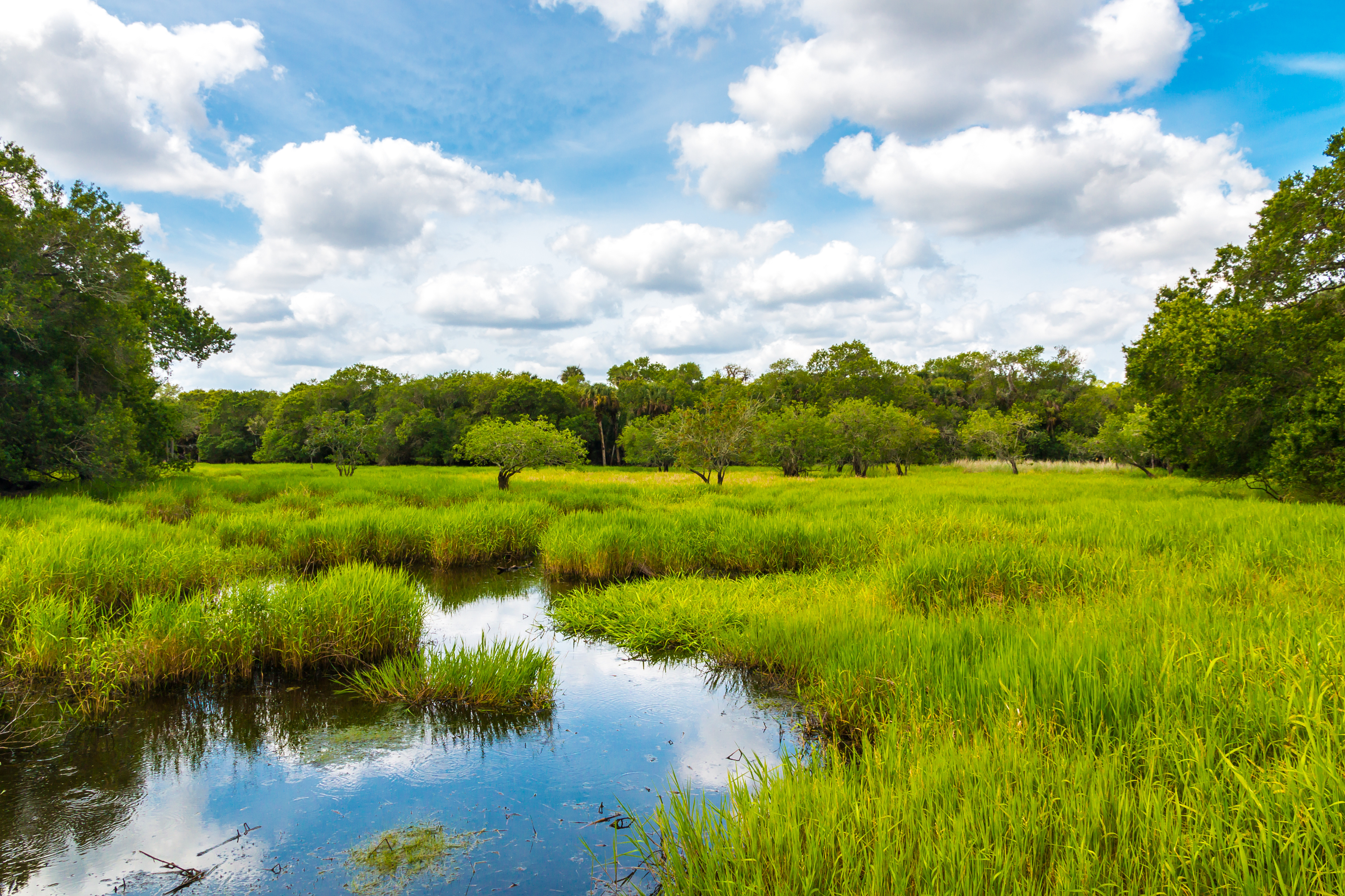
Wetlands are vital and dynamic ecosystems that provide numerous benefits to society, including improved surface water quality, flood control, groundwater recharge, and of course wildlife habitat. Wetlands are regulated aquatic resources in the state of Minnesota.

The Wetland Conservation Act (WCA) ensures that all wetlands that are disturbed, brought into non-aquatic use, or its function and value are significantly altered are restored or replaced. In the past, the posts/pilings that are used to install solar arrays have not been considered a wetland impact that would require compensatory mitigation under the WCA. The reality is that solar arrays bring wetlands into non-aquatic use and may, or may, not negatively impact the wetland’s quality or function.

Historically, solar arrays have been sited within or near farmed wetlands (wetlands that are plowed).  If solar developers restore the disturbed wetlands following construction, such as with native plant species, the function and value may actually improve, despite the shading from the solar arrays.

To help local governments evaluate the potential impacts to a wetland’s function and value, the Minnesota Board of Water and Soil Resources (BWSR) issued guidance that provides a suggested approach for evaluating projects when they involve the installation of solar panels on posts/pilings in wetlands.

The guidance document can be found on the BWSR website and includes three steps:

  1. Evaluate the wetland’s condition
  2. Determine the wetland’s current functionality, and
  3. Evaluate the effect of the project on the condition and function of the wetland

WSB’s experienced Natural Resources staff are available to assess wetlands to determine the general quality and function/value they provide to the ecological setting and society. The regulatory review and technical assessment will determine if the project wetland impacts require replacement.

Please contact Shawn Williams at 612-360-1305 or [email protected] for additional information or project support.

Shawn has over 16 years of professional environmental consulting experience. He prepares site permit applications, avian surveys, wetland delineations and reports, habitat assessments, and threatened and endangered species reviews. He is trained in wetland delineation methods, wetland plant identification, floristic quality assessment methods, NPDES compliance, and Geographic Information Systems (GIS).

[email protected] | 763.287.8531

US Fish and Wildlife Service decide listing monarch butterfly is “warranted but precluded”

By Roxy Robertson, Environmental Scientist, WSB

The United States Fish and Wildlife Service (USFWS) recently announced their decision to list the monarch butterfly under the Endangered Species act is “warranted but precluded”. The USFWS will not issue a proposed rule to list the monarch officially until 2024 due to insufficient funding and personnel. The listing will be evaluated annually to determine its eligibility and listing decision may be expedited under a new administration.

What does the USFWS decision mean?
  • The “warranted but precluded” decision means that the USFWS has determined the monarch butterfly meets the definition of a threatened or endangered species, but the agency lacks the resources to take further action to list the species at this time.
  • Since monarch butterflies still face threats and decline, there is a strong likelihood that monarch conservationists will challenge and litigate the decision.
  • If litigation occurs, the USFWS could be ordered to prioritize the listing prior to 2024. This could result in a listing of the species within a short timeframe. If this occurs, partners enrolled in the Candidate Conservation Agreement for Monarch Butterfly on Energy and Transportation Lands (CCAA) are protected against regulatory actions that may occur following the listing decision.
Why is the CCAA important?
  • By enrolling in the CCAA, partners will be protected against any regulatory actions that may result from future listing. Enrollment avoids risks to planned projects that may impact monarchs and their habitat by giving assurance that no additional regulatory requirements will be imposed by the USFWS beyond the terms of the CCAA agreement.
  • The conservation efforts of enrolled partners will help to save the monarch species. This decision means that monarch butterflies are in trouble and unless the species experiences dramatic improvements in the next few years, a future listing of this species is certain.
  • Enrollment in the CCAA demonstrates the partner’s commitment to conservation of this species.

Learn more about the Candidate Conservation Agreement and how the listing decision will impact right of way on energy and transportation lands. 

Roxy is an environmental scientist and certified wetland delineator. She has a master’s degree in ecology and is a Certified Associate Ecologist. She has completed numerous wetland delineations and has experience with wetland monitoring, ecological restoration design, environmental site assessments, field research, biological surveys, ArcGIS mapping, and GPS Trimble.

[email protected] | 763.762.2844

Candidate Conservation Agreement: Right of way preservation creates viable habitat for butterflies

By Alison Harwood, Director of Natural Resources, WSB

The U.S. Fish and Wildlife Service (USFWS) is investigating threats to the monarch butterfly. The monarch is being considered to join the list of species registered under the Endangered Species Act. The listing decision is expected to occur in December. If listed, projects and activities that involve impacts to the monarch or their habitat could face delays as a result of required USFWS consultation. To avoid potential delays, transportation and energy groups are enrolling in the Candidate Conservation Agreement with Assurances (CCAA) program. The CCAA allows transportation and energy groups nationwide to gain protections for certain covered activities by implementing conservation measures to sustain a viable habitat for monarchs, within the right of way on energy and transportation lands. Enrolling in the program can help these groups avoid costly project delays.

Protecting our environment allows us to work with nature, not against it.

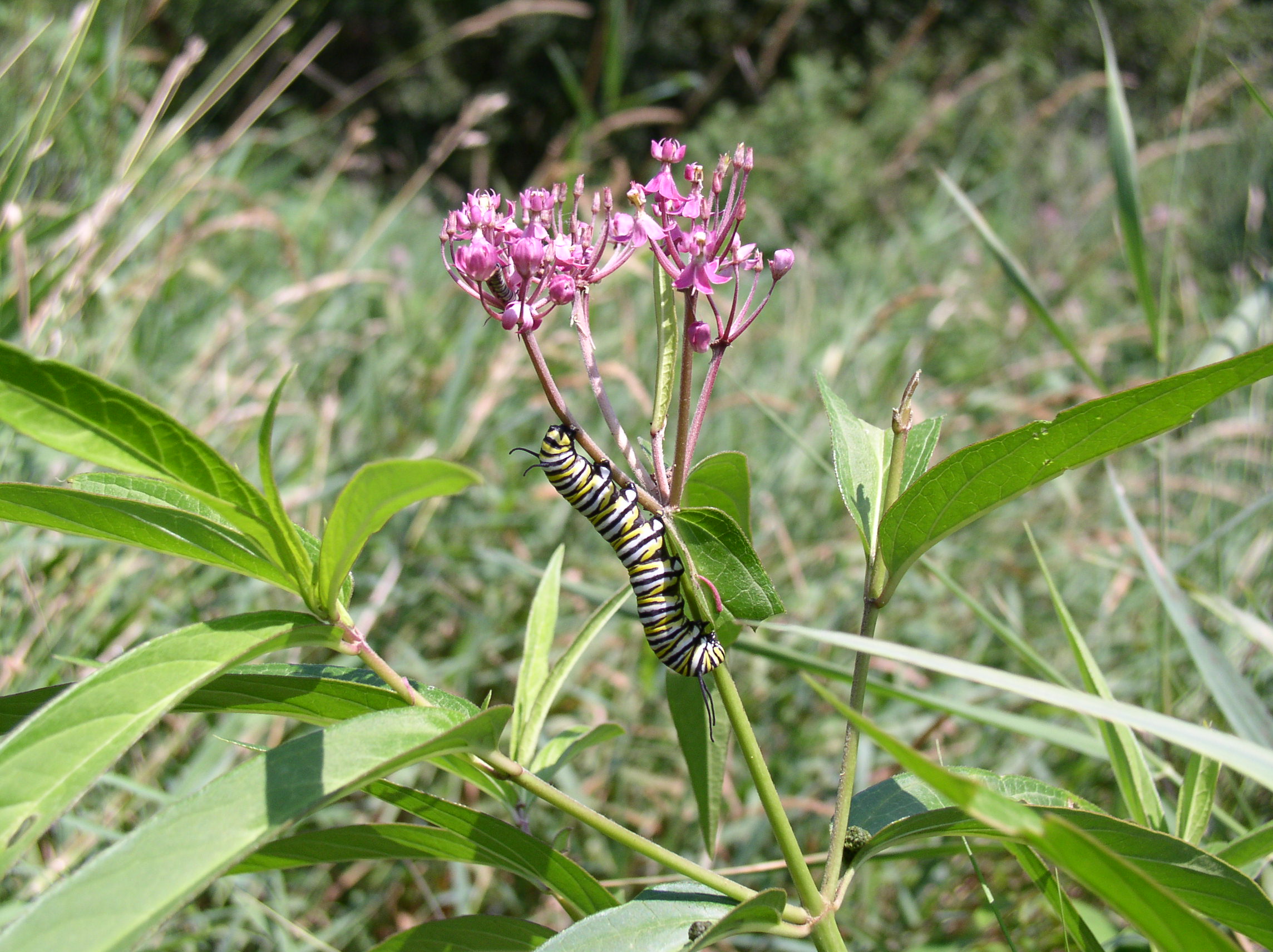
The monarch butterfly is a beautiful sight, with its brilliant red-orange wings, black veined exterior and white spotting. However, this attractive pollinator is not something to take for granted. The monarch is a vital species in our planet’s ecosystem and contributes to the environment through pollination and as an important food source for birds, small animals and other insects.

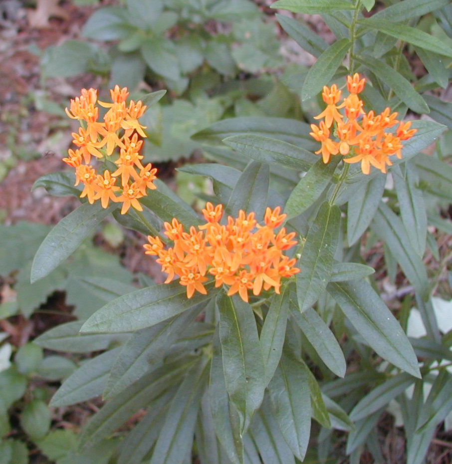
Preserving and monitoring butterfly habitat within right of way segments is a top priority for the CCAA and affiliated members. In Minnesota, any stretch of right of way along the road is commonly identified as habitat; except for urban areas that contain no vegetation. This habitat supports milkweed and a variety of blooming nectar plants that monarchs regularly frequent. Before forming a chrysalis, the monarch caterpillar relies on milkweed as its primary food source. Without it, the larva cannot develop into a butterfly.

Monarch habitats are threatened by activities such as mowing, spraying, or grading. If listed and without proper permitting, any damage to monarch habitat as a result of these activities is in direct violation of the Endangered Species Act. Entities in violation of the Endangered Species Act may be fined and unable to continue their project work until proper permitting has been processed and approved.

Morrison County puts conservation measures in place.

WSB recognizes the importance of maintaining, improving and creating a viable habitat. Our Natural Resources team recently partnered with the Morrison County Highway Department to help them determine which segments of right of way require conservation measures. As part of the conservation study, our environmental scientists will calculate and analyze the total acreage of right of way and provide recommendations on conservation best practices (as indicated per the CCAA) such as guidelines for mowing. The CCAA requires each County transportation group to implement conservation measures on five percent of the total right of way area. An approved list of management practices is covered in the agreement for communities to review.

The CCAA program is open for enrollment until the effective listing date (anticipated as December 2021 or January 2022). Members can apply for the program and receive coverage before the ruling is made. Interested entities can only join the CCAA prior to the listing date.

By maintaining, improving and creating a safe habitat, monarchs will have the environment they need to survive and thrive for generations to come.

To learn more about the CCAA and how to enroll, visit their website.

Solar Development and Wetland Regulation

Roxy Robertson, Environmental Scientist, WSB

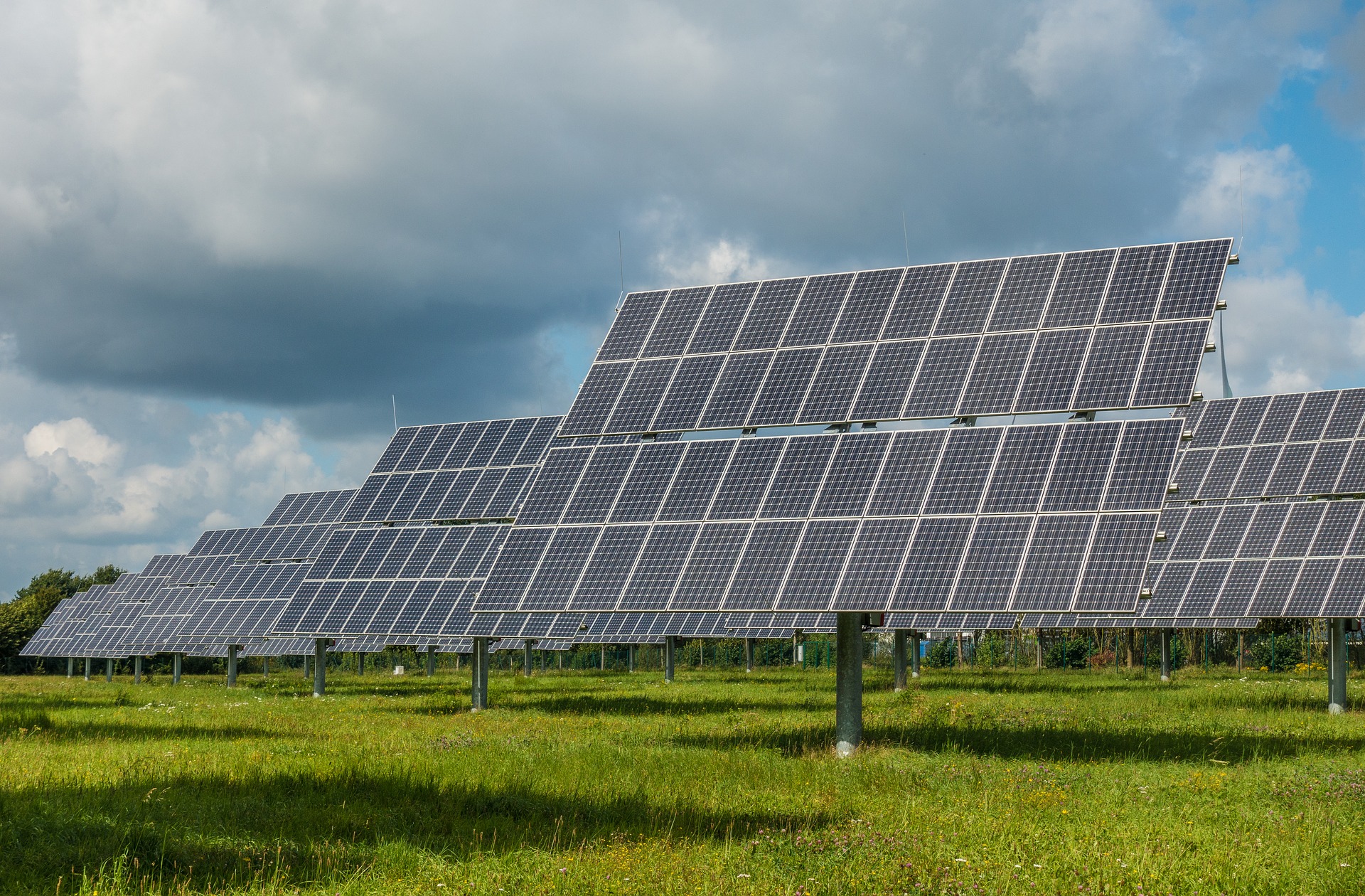
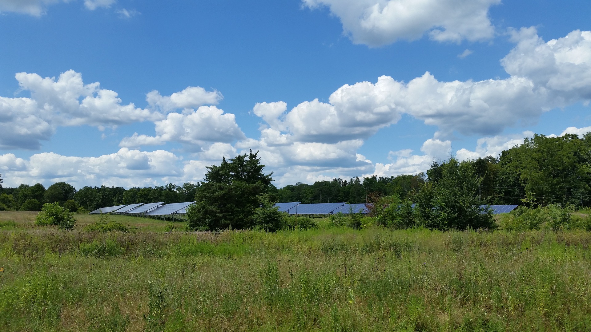
Solar production in Minnesota has seen dramatic increases in the past few years and continues to grow across the state. With this rapid growth comes challenges about how to regulate the installation of panels at a local level. According to the Solar Energy Industries Association (SEIA), Minnesota has already invested $1.9 billion on solar and additional growth is projected at 834 megawatts over the next five years. The installations of solar “farms”, vast arrays of solar panels, can be seen throughout the state and can generate up to a megawatt of electricity each. Development of these sites often requires large, vacant parcels which may also support natural habitats such as wetlands.

The development application process for these solar farms can be challenging for municipalities, especially those who act as the local government unit (LGU) for the Wetland Conservation Act (WCA). Developers must work collaboratively with LGUs to demonstrate a sequencing process that shows how their projects are avoiding, minimizing, and if necessary, replacing unavoidable wetland impacts. Under the WCA rule, the installation of posts and pilings from solar panels has traditionally not been considered a wetland impact if they do not significantly alter the wetland function and value. But, as the solar industry grows, LGUs have had questions about whether the installation of solar panels may lead to loss in wetland quality over time which would be a violation of WCA. A strong measure of wetland quality comes from the diversity of the plants within the wetland, factors like shading from panels and disturbances from construction may lead to conversion of the wetland vegetative community, and subsequently, the wetland quality. Loss of wetlands and wetland quality has overlapping effects on drinking water, lake and stream health, native wildlife, soil heath, and pollinators, all of which are important to our Minnesota ecosystems.

So why does this affect you? Many municipalities act as the LGU responsible for implementing WCA. LGUs, alongside other regulating agencies, have been struggling to make impact determinations for sites that install panels in wetlands because there is little data available that addresses the future outcomes of these natural areas. There is a growing need for baseline data about how the quality of wetland vegetation changes throughout the solar development process. If data were available, LGUs could use these as a basis for making determinations.  

Having baseline data about wetland vegetative quality under solar panels is beneficial to both regulators and developers. Regulators will have a scientific basis for making wetland impact determinations within their jurisdiction and developers will see more consistency across municipalities during the permitting process. We may see that wetland quality improves under solar panels in certain circumstances through the planting of native vegetation upon completion of development. In other scenarios, wetland quality may decrease if the existing wetland was of higher quality prior to development.

WSB has started an exciting initiative to collect this baseline data at various solar sites in Minnesota. In 2019, environmental scientists at WSB surveyed wetland vegetation under existing or planned solar panels at four solar farms in varying stages of development. Additional data collection at these sites is planned for the summer of 2020. WSB is in the process of developing a Legislative-Citizen Commission on Minnesota Resources (LCCMR) grant application to expand this research in 2021 to more sites across the state and to include other metrics that may influence vegetation such as fixed-tilt or tracker panel types. Support of this research from municipalities will be important for the LCCMR application process and we encourage you to join us in the process through letters of support, in-kind hours, monetary support, or providing access to solar farms within your area. It is an exciting time in the renewable energy industry and WSB is committed to helping advance the clean energy market in a way that is sustainable to our Minnesota environment that we all cherish.

Roxy is an environmental scientist and certified wetland delineator. She has a master’s degree in ecology and is a Certified Associate Ecologist. She has completed numerous wetland delineations and has experience with wetland monitoring, ecological restoration design, environmental site assessments, field research, biological surveys, ArcGIS mapping, and GPS Trimble.

Planning tips for effective wetland permitting

Alison Harwood, Director of Natural Resources, WSB

As someone who has been on both the regulator and applicant side of the table, I understand that wetland permitting can seem like a complicated task, involving multiple review agencies and months of careful planning. I’ve witnessed frustrated project developers after growing impatient with the process, and concerned regulators who feared the appropriate steps to minimize impacts were not taken. However, if anticipated correctly, the permitting process can be smooth and painless.

As we approach growing season, it is helpful to understand the project development steps for areas that feature wetlands – even if you don’t expect to impact them.

  1. Identify wetlands.

This should be one of the first steps taken during project planning. A desktop-level delineation can be completed anytime by a wetland professional and is used to determine the potential for wetlands on the project site.

Do not assume your site does not have wetlands.

Depending on the results of the review, an onsite wetland delineation may be needed, which can only be completed during specific times of the year (i.e. growing season). Missing this window can cause delays in your project or force you to make design assumptions based on inaccurate data, which can increase the risk for redesign once field data is available.

From the beginning of a delineation to having approved boundaries can take several weeks or months, so advanced planning is essential if the project development indicates a shorter construction timeline. Assigning a trained wetland delineator is important during this step to ensure project boundaries are accurately identified and reported to local reviewing agencies. Mismanagement at this stage can result in extra work and time delays. Once the boundary data is collected, project developers can update the design plan and determine if wetland impacts will occur.

  1. Examine potential impacts early.

Wetland impact approvals should always be obtained before you begin local project planning (i.e. plat approval) and identifying potential impacts early in design is key. This ensures that wetland regulation agencies are afforded the opportunity to review site plans and suggest ways to minimize impact and reduce the developer’s risk of costly design changes or permit denial.

  1. Contact local wetland regulation agencies.

If impacts are expected, it’s a good idea at this point to inform the local wetland regulation agencies and plan a pre-application meeting. There are several agencies that regulate wetlands and keeping all informed is vital to ensure the permitting process stays on track. The most common agencies that are involved include the Wetland Conservation Act (WCA) Local Government Unit (LGU), US Army Corps of Engineers (USACE), Department of Natural Resources (DNR), and in some areas of the state, Watershed Districts (WD) or Watershed Management Organizations (WMO). Learn more about these wetland regulation agencies.

The amount of impact proposed for a project can affect the length of the review process. The following approval timelines can be used as a guide:

Agency

Permit Type Days to Approval
WCA LGU Wetland Impact Replacement Plan 60 days
DNR Public Waters Permit 60 days
USACE* Nationwide or General Permit (<0.5 acre) 60 – 90 days
Letter of Permission (0.5 – 3 acres) 4 – 9 months
Individual Permit (> 3 acres)

9 – 24 months

*Permit thresholds reported are for non-transportation projects.

Approvals through Watershed Districts Management Organizations vary, so project developers should refer to local guidelines for application and review timelines.

Often, the reviews described above are independent of each other. Approvals from one agency (ie: WCA LGU) does not eliminate the need for approvals from other agencies (ie: DNR). While the agencies may communicate with each other, developers are ultimately responsible for ensuring permit applications are received by each individual agency.

Below is a general timeline of project tasks that should be completed prior to getting approval by local agencies.

Task Completion in Months (Prior to Local Plan Approval)
Wetland Delineation 8 months prior
Delineation Approval 6 months prior
Permit Pre-Application Meeting 5 months prior
Permit Submittal* 4 months prior
Permit Approval 1 month prior

* Assumes USACE General or Nationwide Permit.

Local ordinances should also be reviewed to ensure that all water resource-related requirements are being met. For example, some cities have wetland buffer setbacks that must be incorporated into the project design.

With proper planning, the wetland permitting process can be smooth and transparent. A little work in the beginning to identify the potential for wetlands can save the project manager from redesign and time delays that derail project progress.

Stormwater Management: Protecting the water in Minnesota’s 10,000 lakes

Laura Rescorla, Graduate Engineer, WSB

What is stormwater?

Stormwater is the water that flows over the ground after rain and snowmelt events. It runs off buildings, streets, sidewalks, and parking lots – anywhere it is prevented from naturally soaking into the ground.

Stormwater can pick up debris, chemicals and dirt before it reaches its final destination. If not managed properly, stormwater can also contaminate streams, rivers and lakes; destroy aquatic habitats and kill aquatic plants, fish and animals; or even contaminate drinking water if it is polluted.

What can you do to prevent contamination?

Start implementing these practices today to protect our water and encourage your neighbors to do the same!

  • Use pesticides and fertilizers sparingly.
  • Properly dispose of products such as insecticides, pesticides, paints, and used motor oil. Do not pour these chemicals – or any other household products – into storm drains or onto the ground.
  • Sweep up litter and debris from sidewalks, driveways, and parking lots – especially around storm drains. Do not put anything into storm drains.
  • Clean up pet waste and dispose of it properly.
  • Don’t overwater your lawn.
  • Use a rain barrel or plant a rain garden.
  • Go to a car wash or wash your car on your lawn so that the water infiltrates into the ground.

 Sources

Image sources

An overview of wetland/water permitting in Minnesota

Alison Harwood, Director of Natural Resources, WSB

Wetlands and other waters in Minnesota are regulated by a variety of agencies, including those at the federal, state, local or watershed level. Knowing who to contact and what type of approvals are needed is important and depends on the scope and location of the project.

Federal level

At the federal level, the U.S. Army Corps of Engineers (COE) regulates discharge of fill to waters of the U.S. and works within the channel of navigable waters as defined by Section 10 of the Rivers and Harbors Act. If work is proposed within a water of the U.S., a permit may be required through Section 404 of the Clean Water Act. Project impacts will fall into one of the following permit categories:

  • Regional General Permit (GP): These permits are issued for projects that impact less than 0.5 acres of wetland and authorize a specific list of impacts, or authorize work that is regulated and approved by the Minnesota Department of Natural Resources (DNR) through the Public Waters program. It typically takes three to four months to obtain this permit. In Minnesota, approval with a GP automatically includes EPA/MPCA Section 401 Certification.
  • Letter of Permission (LOP): These permits are issued for projects that impact wetlands between 0.5 to three acres (non-road projects) or 0.5 to five acres (road projects). COE performs an environmental assessment, taking four to 12 months to obtain this permit. In Minnesota, this approval automatically includes EPA/MPCA Section 401 Certification.
  • Individual Permit (IP): These permits are issued for projects that exceed the thresholds for the GP and LOP. COE performs an environmental assessment, taking anywhere from nine months to two years to obtain this permit. EPA/MPCA Section 401 Certification must be obtained separately.

State level

At the state level, the DNR regulates areas below the Ordinary High Water (OHW) of wetlands and waters listed as Public Waters. (View maps of DNR Public Waters. Obtain the OHW elevation from the DNR Area Hydrologist.)

If work is proposed below the OHW of a public water, a Public Waters Work permit will be required, which typically takes 60 to 90 days to obtain. It can take longer to obtain the permit depending on the complexity of the project. The DNR also issues permits for other types of work within public waters, including docks, crossings, dewatering, dredging, and boat launches.

Local level

At the local level, the State of Minnesota issued MN Rule 8420, the Wetland Conservation Act (WCA). (Guidance can be found here.)

The objective of the WCA is to obtain no net loss of wetlands within the state. The rule is administered at the local level by a local government unit (e.g., the city, county, watershed district, or soil and water conservation district.

If a project will impact a wetland, an approval through the Wetland Conservation Act is likely necessary. There are several types of approvals that may apply to the project:

  • No loss: Indicates that the wetland will not be impacted by the project (e.g., temporary impacts, impacts to incidental wetland).
  • Exemptions: Various exemptions exist for projects that are required to maintain public health and safety but also may result in minor wetland impacts.
  • De minimis: Allows a minimal amount of wetland impact to occur depending on the location of the wetland impact within the state.
  • Replacement plan: Allows wetland impacts to occur given that no other alternatives exist, impacts have been minimized to the extent practicable, and impacts will be mitigated (e.g., replaced).
  • Road bank replacement: Allows the state to replace for impacts to wetlands required due to the reconstruction of an existing serviceable public roadway to meet safety or design standards. This program is available to city, county, township, and other local road authorities. It is not available for Minnesota Department of Transportation projects.

To obtain any of the above permits, an applicant must provide project information that includes a project purpose and need, alternatives analysis, impact minimization measures, and a mitigation plan. Typically, mitigation is required at between a 1:1 to 2.5: 1 ratio.

Some watershed districts within the state also have regulatory authority over the waters within their watershed. Though each watershed district has their own specific rules, they typically cover impacts resulting from stormwater, erosion, dredging, wetland impacts, and floodplain fill. (Determine which watershed district a project is located within.)

What does this mean for a project?

If a project has the potential for water resource impacts, it is best to start coordinating with the applicable regulatory agencies as soon as possible (ideally a year in advance of construction). If you are unsure of whether your project will impact wetlands, begin by contacting your local WCA representative, Army Corps of Engineers regulatory department, and/or DNR Area Hydrologist.