July 18, 2023
By Brian Bourassa, VP of Corporate Development
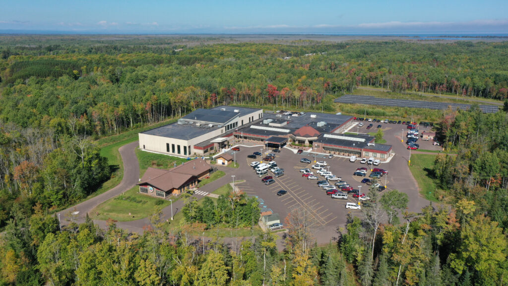
Investing in the vitality of the city of Lino Lakes, Minnesota.
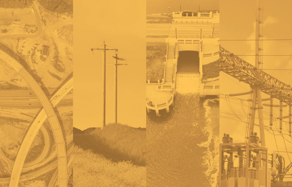
At WSB, we use the term infrastructure broadly to define the places, spaces and systems that support our lives. As important as infrastructure is to our way of life, we don’t often think about it until something goes wrong. We’ve been privileged to support communities across the U.S. with their infrastructure needs. The scale of the projects may vary, but the impact is always significant.
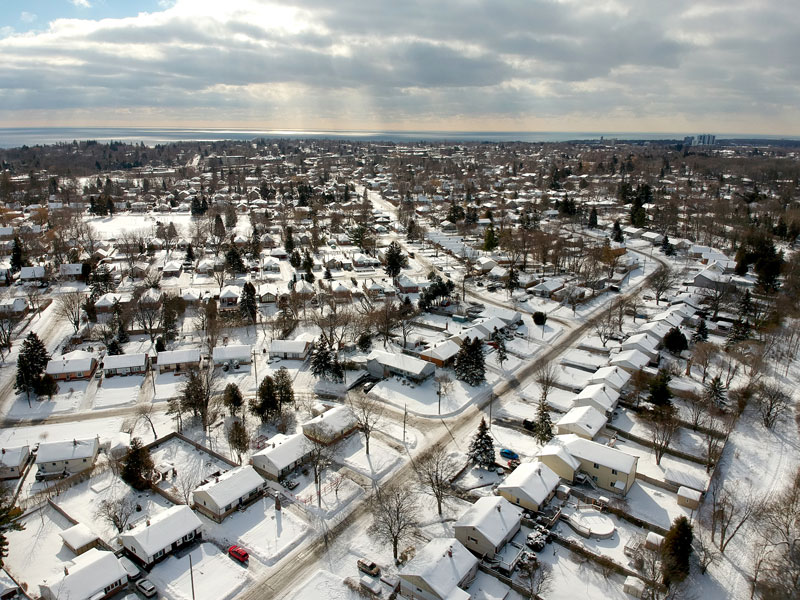
For the last several decades, the city of Lino Lakes, just north of the Minneapolis-St. Paul metro, has been investing in their infrastructure across the community. In the end, it’s not one single project that has helped to build a vibrant community, but rather the collective investment in varying infrastructure. These investments have played a vital role in spurring development and progress within the city.
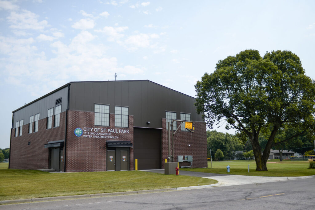
1. Biological Water Treatment Plant

The city is currently planning to construct a water treatment plant due to some of the city wells having manganese levels above the recommended guidelines. A biological treatment approach is unique because it relies on natural microbial activity to remove contaminants rather than chemicals, an environmentally sustainable strategy.
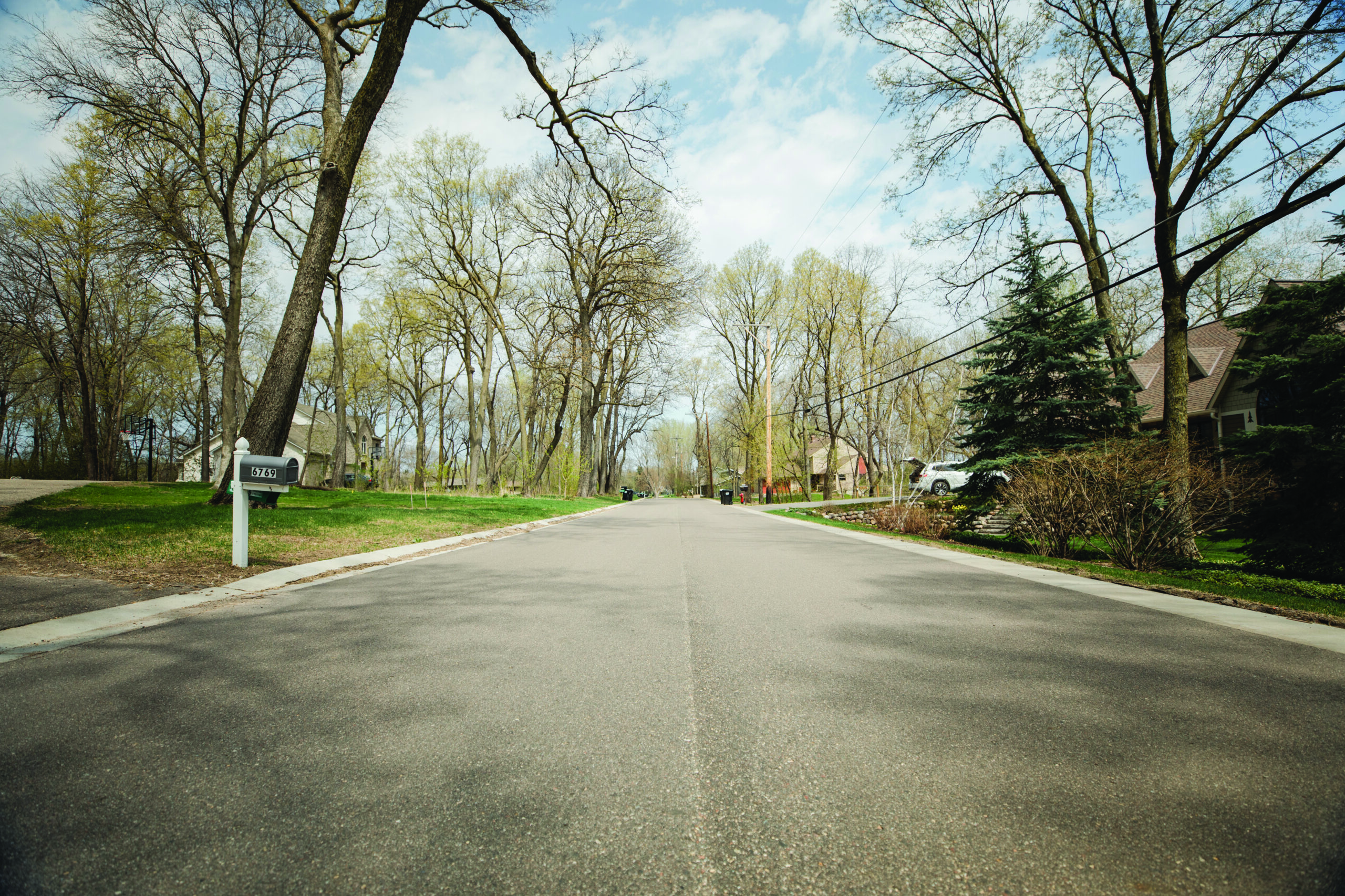
2. West Shadow Lake Drive

West Shadow Lake Drive is a residential street that was plagued by potholes, had no sewer or water, and faced challenges from high groundwater levels due to its proximity to Reshanau Lake. As part of the city’s pavement management program, the road was removed and replaced to support the city’s roadway infrastructure and sanitary sewer, watermain and storm sewer infrastructure was also installed. In addition, environmental work and wetland enhancements occurred throughout the area.
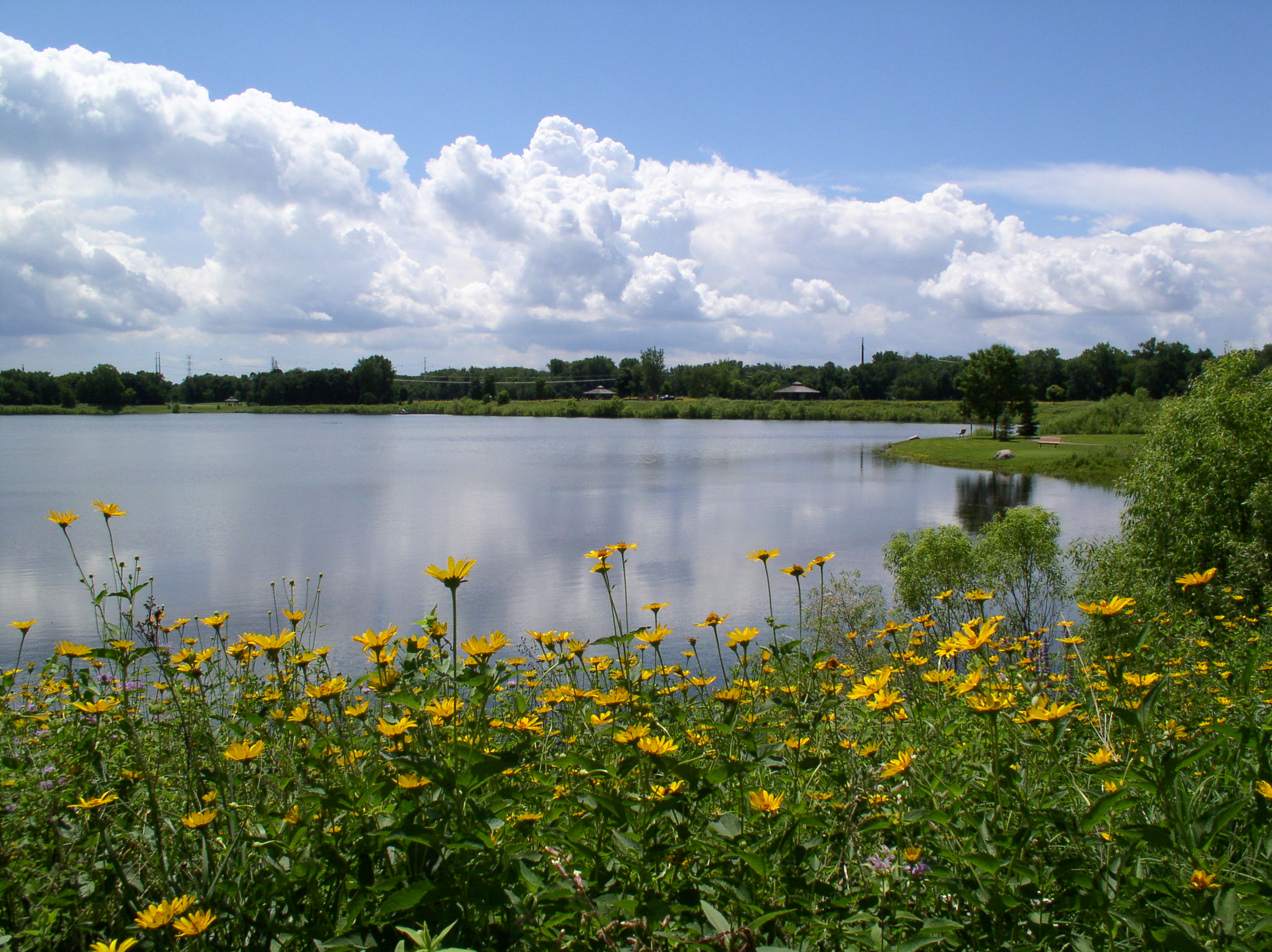
3. 12th Avenue Trail Project

The 12th Avenue Trail connection was identified as a priority in the city’s Comprehensive Parks and Trails System Capital Improvement Plan due to the lack of trail connection along 12th Avenue. Prior to project completion, the busy rural road was narrow with unsafe conditions for pedestrians and cyclists. The project resulted in increased safety and a more bikeable, accessible community.
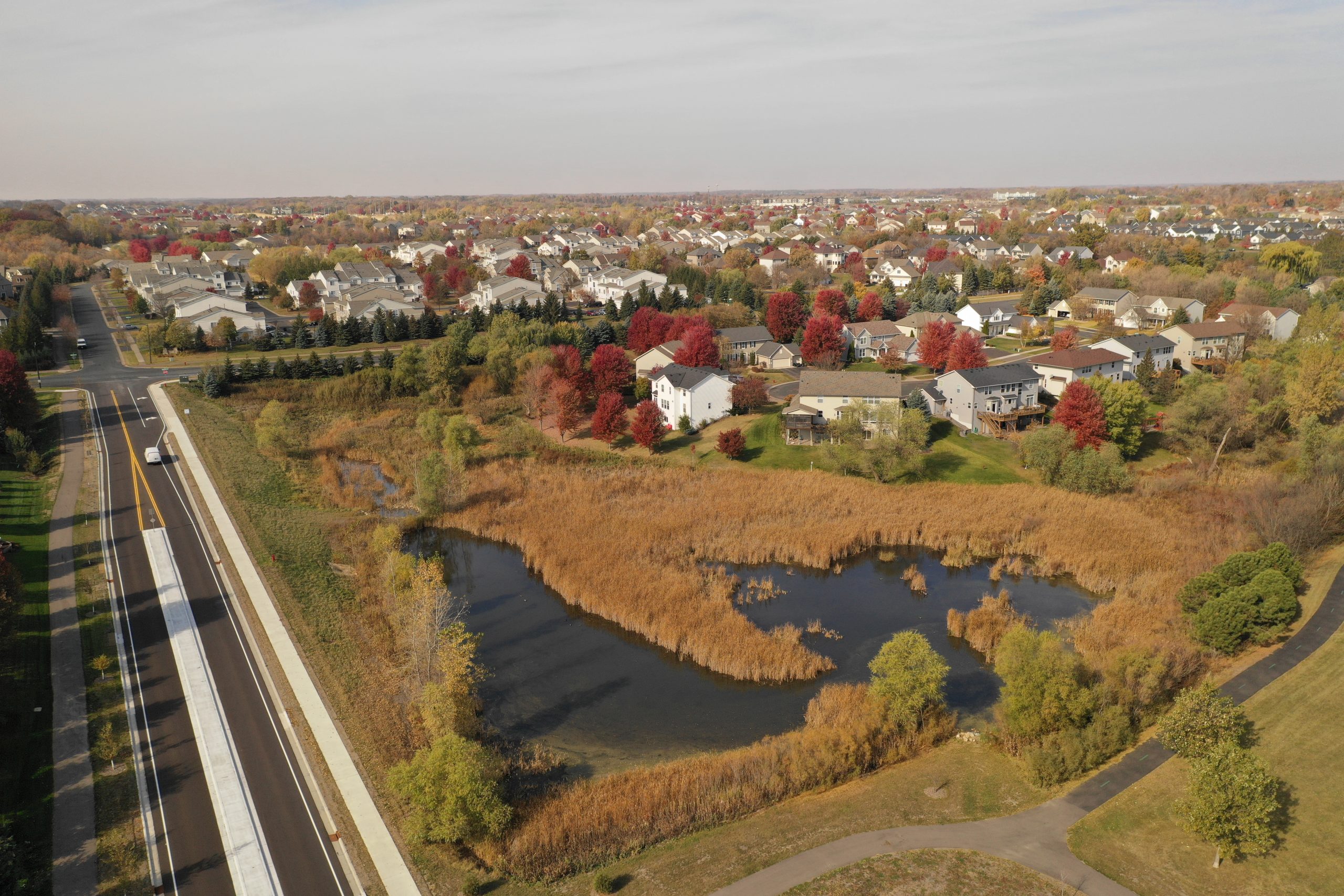
4. Master Plan and Comprehensive Stormwater Management Plan

Located in the northeast corner of Lino Lakes is a 1300-acre greenfield area that is prime for development opportunities. WSB was contracted to develop a master plan, comprehensive stormwater management plan and update the Alternative Urban Areawide Review (AUAR) for the area. Development opportunities will include residential, industrial and commercial that will spur economic activity in the area.
5. The Rookery Activity Center

When the local YMCA closed in 2020 it left a hole in the community. The city of Lino Lakes took action to reinvigorate the space. To establish itself as a new asset within the community, the building needed an overhaul, not just in amenities and programming, but also the brand. WSB worked with the city to develop a story, identity and brand assets.
6. Tower Park

Tower Park is located on a 60-acre piece of land that was purchased by the city over 20 years ago. The city council felt strongly about developing the space into a destination recreation area for the community. WSB provided the park master plan and phase 1 design support. Tower Park is now home to some of the city’s most popular pickleball and tennis courts. The project was completed last year.
7. Birch Street Roundabouts

Birch Street is a heavily traveled roadway through the city with frequent accidents occurring due to the number of entrances to the high-speed roadway. There were safety concerns from residents and a nearby school. To help alleviate the number of accidents and increase safety, several roundabouts, medians, crosswalks and safety signage were added.
8. Gateways to the City – Placemaking

Lino Lakes is a proud community and wants to enhance their welcoming presence by creating placemaking monuments at city entrances. The project is still under development, but once complete, the entrances will offer a ‘front door’ to the city and will invite visitors and residents to step inside and explore the community.
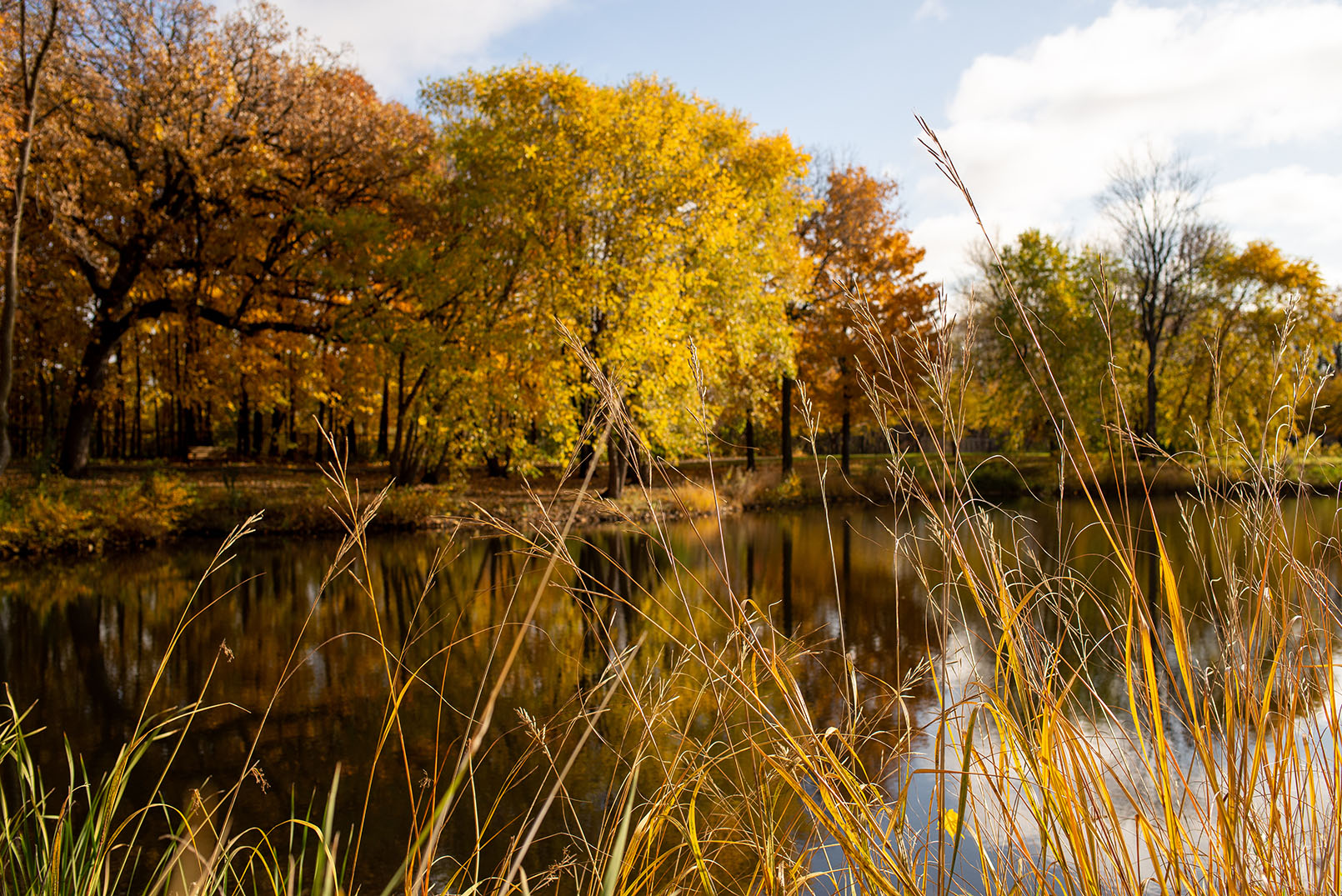
9. Feasibility Study – Lake Amelia Subwatershed

A 255-acre subwatershed of Lake Amelia is currently undergoing a feasibility study to address existing stormwater management concerns and anticipated future land use changes to the area. The short-term phase includes solutions to address flooding concerns. The long-term phase proposes more holistic improvements to the corridor that that would occur alongside its eventual development. The study will help guide future planning in the area and will ensure that the area is prime for development.
10. Shenandoah Park Improvements

In partnership with the Rice Creek Watershed District, the city is exploring multiple improvements to the Shenandoah Park area to improve water quality, ensure its habitat is supported, and create a destination for park users. WSB is currently exploring water quality improvement options, wetland restoration, flood retention and greenway spaces to support the goals of the watershed district and the city.