Innovative tools for data-driven decisions
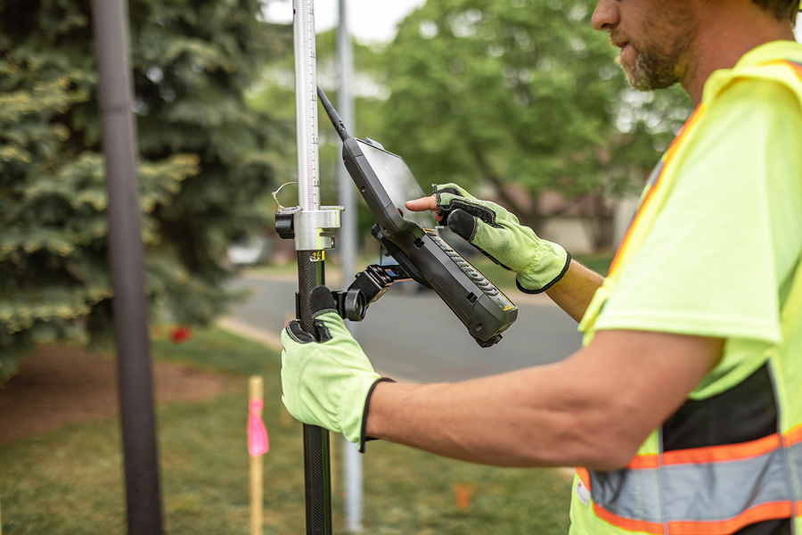
Raw data alone doesn’t create progress—it’s how it’s collected, analyzed, and applied that makes the difference. WSB develops technology-based data solutions that improve efficiency, enhance collaboration, and provide organizations with deeper visibility into their operations. By integrating GIS applications, AR mapping, and real-time field data collection, we create systems that make information more accessible and actionable. Our expertise helps clients simplify complex workflows, strengthen decision-making, and find new opportunities in their data.
Contact Us