Turning spatial data into actionable solutions
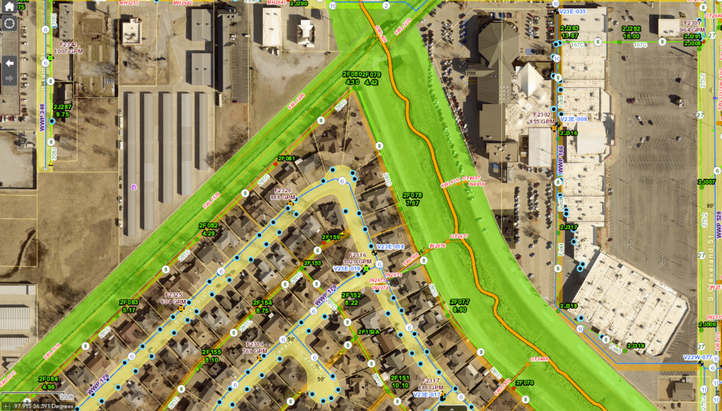
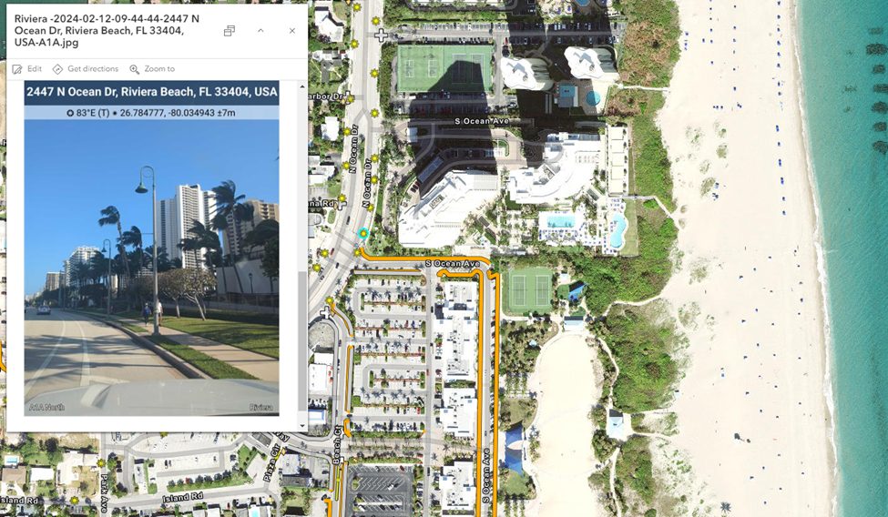
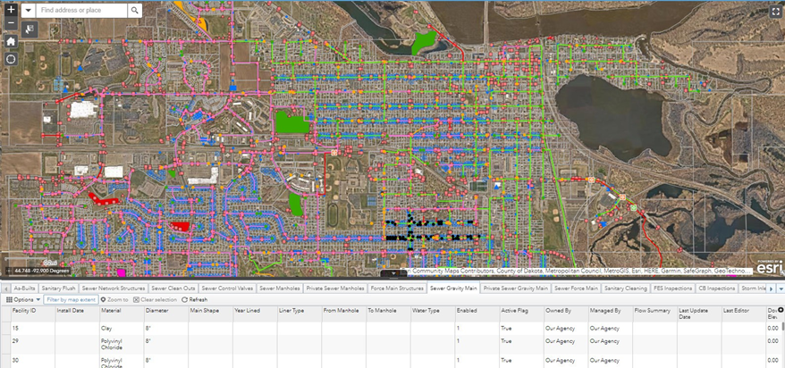
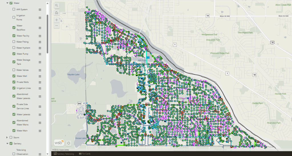
Geographic Information System (GIS) services empower communities, businesses, and agencies with location-based insights that improve operations, streamline decision-making, and enhance asset management. WSB specializes in developing GIS solutions that integrate mapping, data visualization, and spatial analysis to support infrastructure planning, public engagement, and environmental management. Our expertise in enterprise GIS implementation, mobile data collection, and interactive web applications helps clients maximize the value of their geospatial investments.
Contact Us