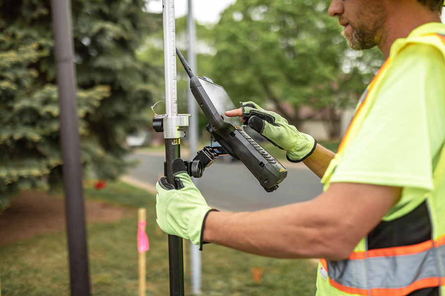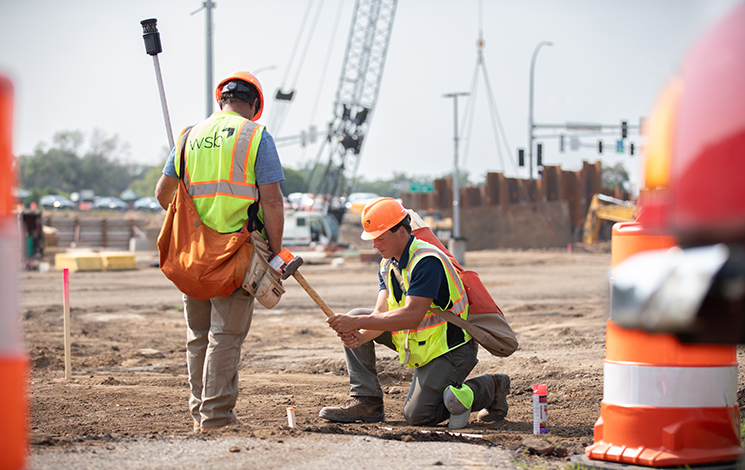
Empowering efficient construction
WSB’s contractor modeling services streamline construction workflows with highly accurate 3D surface models. Using advanced GPS systems like Trimble and Topcon, our team rapidly generates precise models that integrate seamlessly with Department of Transportation (DOT) data. By leveraging AutoCAD, MicroStation, and GEOPAK expertise, we provide contractors with the data they need to optimize grading, minimize errors, and maintain project timelines.
Contact Us