Bart Fischer, Senior Public Administrator, WSB and Gary Carlson, Intergovernmental Relations Director at the League of Minnesota Cities (LMC) unpack the issues communities should pay attention to post-legislative session.
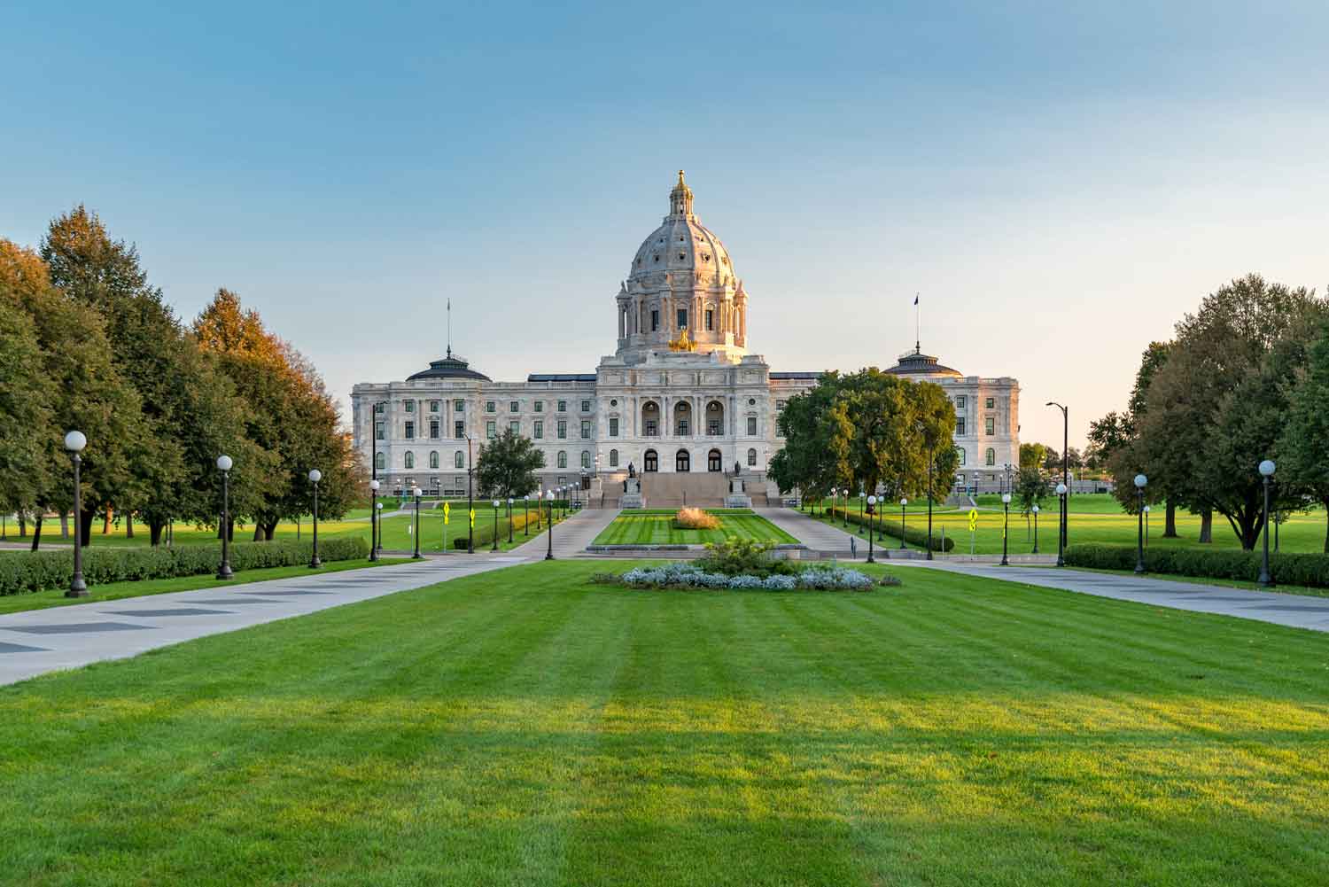
This year, there was an interesting confluence of state and congressional legislation that will impact cities more than any other time in history. The pandemic and recovery efforts will have a tremendous impact of congressional action on our cities and understanding and navigating these impacts can be extremely important in the coming months.
BF: It seems like it wasn’t that long ago that we were talking about the top issues to pay attention to going into this session, Gary. Thanks for taking the time to dive into the takeaways with me post-session.
GC: Anytime Bart. It was an exciting session with a lot of moving parts. I think one of the biggest takeaways was the impact to our state budget and the American Recovery Act. There are still many question marks and unknowns about the federal package, but if you go back a year ago, we were facing a $2.4 billion deficit and we’ve ended up with quite a surplus due to a recovering economy and the federal government. At the beginning of the session, cities and counties were watching closely as the pandemic impacted tax collections and how it would affect local government aid (LGA) distributions and road funding. Relief packages have bolstered our economy and made the economic recession much less impactful. We were expecting to see deep cuts in state aid, but the legislature put over $5 million into LGA to preserve funding for all cities.
In addition to increased funding for communities, we were also looking for some flexibility in the use of TIF to account for the impact of the pandemic. TIF districts that were created between January 1, 2018, and June 30, 2020, now have three more years to complete development activities.
BF: It’s great to hear some positive news after a year of so many challenges. The pandemic has certainly had significant impacts on our communities. Anything outside of the pandemic or relief packages that communities should be paying attention to?
GC: Yes – the Local Option Sales Tax. For many years, we’ve been having conversations about authorizing local sales taxes without the need for legislative approval. In recent years, the legislature has been trying to define what these sales taxes can be used for. This session, they have further defined allowable uses to be capital projects of regional significance that are generally buildings, park improvements or trails that provide benefits to both residents and non-residents. For example, civic centers, libraries, regional parks and trails, etc. This year, almost every county or city that sought approval for a Local Sales Tax option were approved at least in some part, with the notable exception of proposals for roads and water/wastewater projects. I expect that the trend towards sales tax as a local funding source will continue.
BF: That’s great news. Anything else related to taxes?
GC: We’ve been seeking streamlined sales tax exemption for local government construction projects for many years. This year, the sales tax refund process was extended to include public safety facilities when a city or county uses a construction contractor to make the initial purchase of materials. We’re really happy to see this happen. This has the potential to reduce costs by nearly 7%. Contractors will basically provide documentation of the sales tax paid on construction materials and the city can file to get a refund of that money. This is a huge benefit especially if you think about the rising cost of building materials.
BF: Speaking of public safety, I heard that communities are now able to create multi-jurisdictional fire departments. Can you speak to that?
GC: Yes, this is an issue that many communities have been fighting for years. A group of cities or towns can now form a fire protection district and use economy of scale to fund fire protection more thoroughly. This option allows many cities to be more efficient and it’s a good government reform effort as well. I think you’ll start to see a lot of cities and townships start to explore this option as many around the state are struggling to find enough volunteer fire fighters to staff their stations.
BF: Any final thoughts on this session?
GC: I think the biggest challenges cities and counties have in front of them is determining how to use the federal funds from the American Recovery Act. So far, 21 cities have received their distributions directly and there are 800+ more still waiting. Determining how to spend the funds will be a long-term project for many communities. Right now, cities can use the funds for a number of things; however, in relation to infrastructure, it is limited to water, sewer and broadband projects. There is some talk that Congress will allow the money to be used more broadly for infrastructure related projects. Communities of all sizes have different needs and adding some additional flexibility will really help with other infrastructure needs.
BF: Thank you, Gary. As always, I appreciate your expertise and valuable information.
Connect with the League of Minnesota Cities Intergovernmental Relations staff.
Bart Fischer
Bart Fischer has over two decades of experience in public administration. Throughout his tenure, he’s worked in five Minnesota communities as the city or assistant city administrator. Bart joined our firm in 2019 as a senior public administrator and focuses on lending his public service expertise to our clients.
Gary Carlson

Gary Carlson has 37 years of experience in government affairs. As the Intergovernmental Relations Director at the League of Minnesota Cities, Gary leads the League’s legislative efforts that matter to cities including aid to cities, economic development, employment and human resources, pensions and retirement, public finance, taxes, tax increment financing (TIF) and workers’ compensation.