June 27, 2023
By Tina Brown, Sr Professional Engineer, and Jignesh Thakkar, Director of Traffic and ITS in Texas
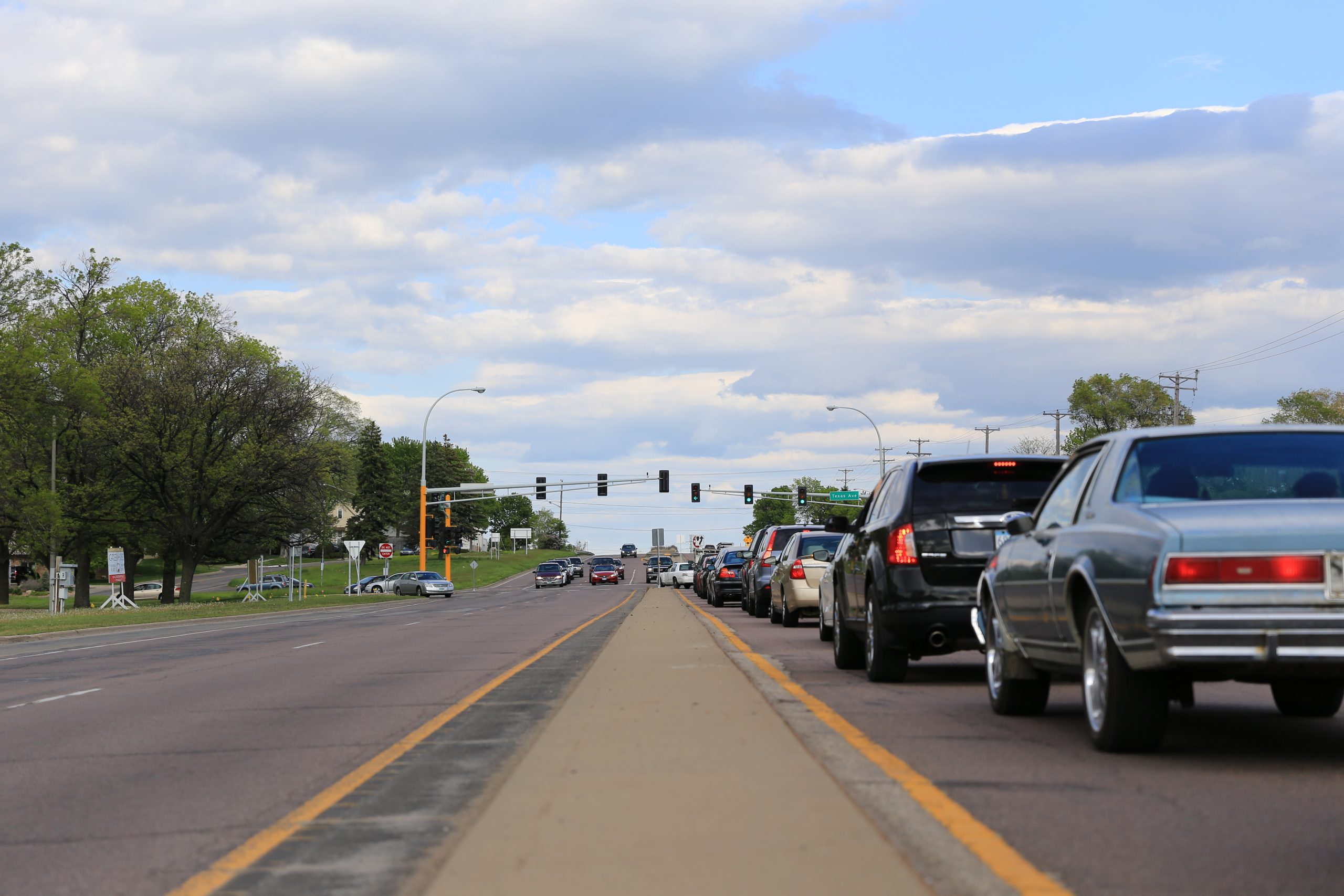
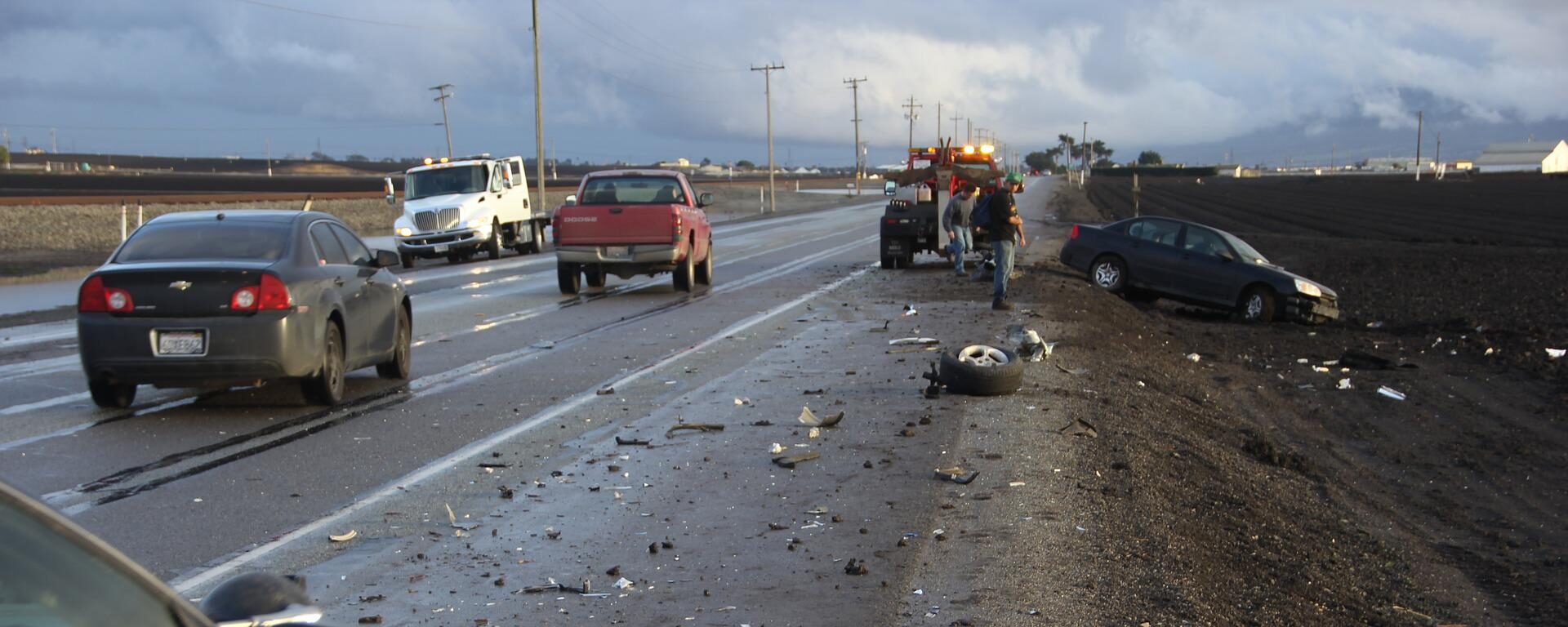
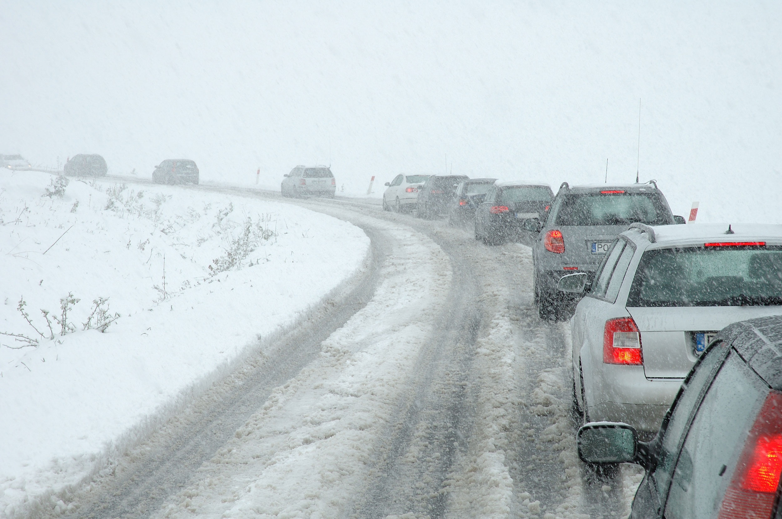
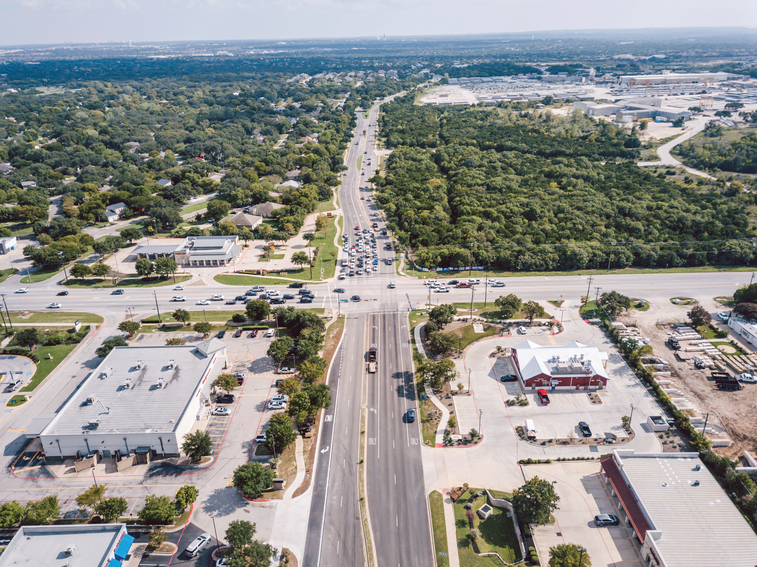
As Texas’ population grows and traffic increases, mobility and safety at intersections deteriorate. The strain on the current infrastructure, along with increasing construction and right-of-way (ROW) costs, highlights the need for early planning and exploration of innovative solutions. The application of alternative intersections and interchanges, to enhance traffic operations and prioritize safety, is becoming more popular throughout Texas.
Alternative Intersections and Interchanges Explained:
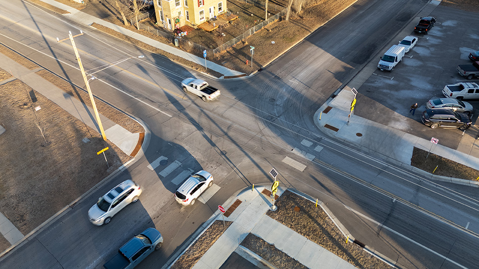
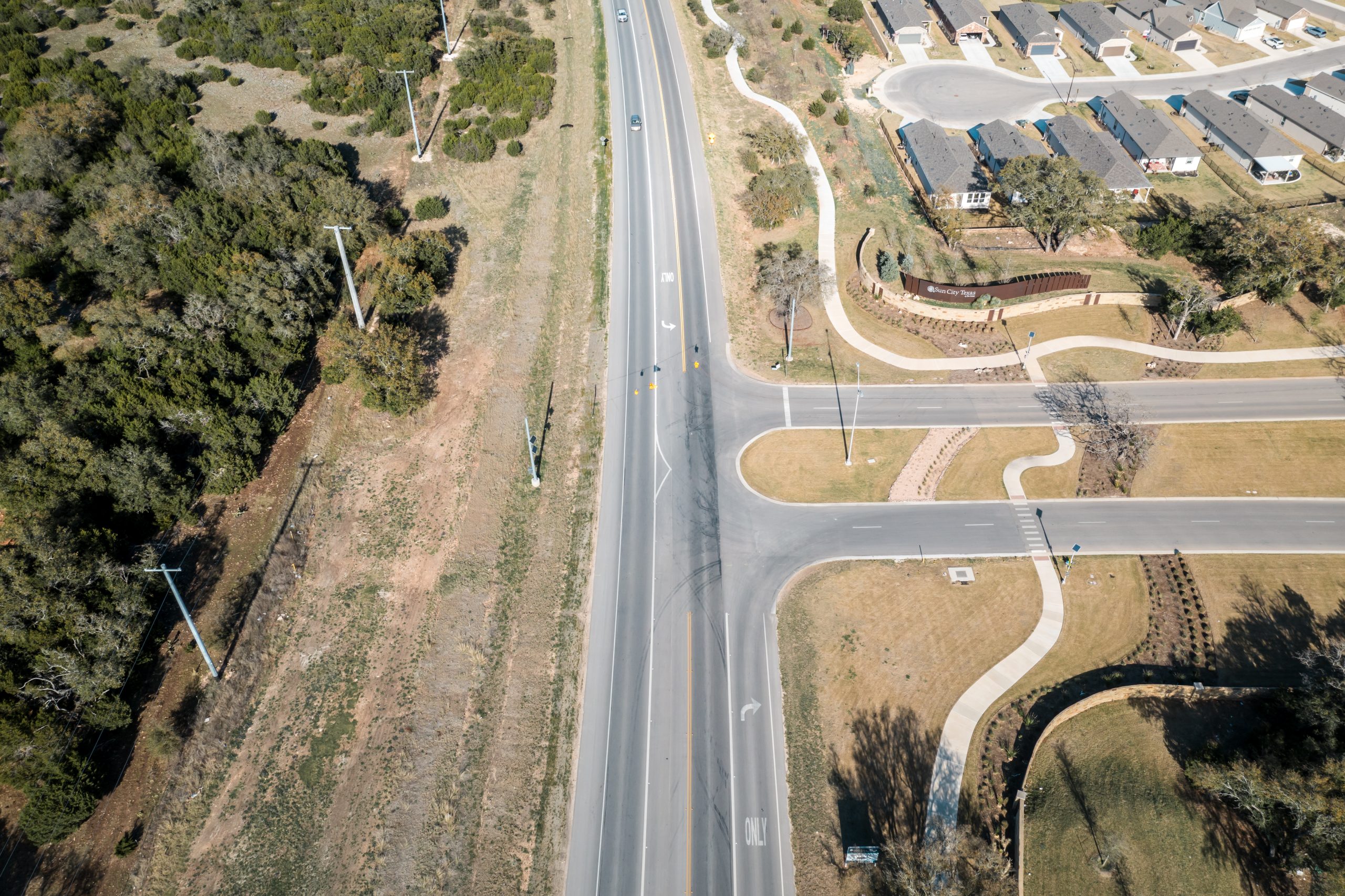
Alternative intersections and interchanges are innovative transportation designs that improve traffic flow, safety and efficiency. Unlike traditional intersections and interchanges that rely on conventional traffic signal or stop-controlled configurations, alternative designs introduce unique geometric layouts and operational strategies. By reimagining how vehicles interact, conflict points and intersection delays can be reduced, and pedestrian and cyclist safety can be enhanced, all while increasing overall capacity. These alternative designs may include roundabouts, diverging diamond interchanges (DDI), restricted crossing U-turn intersections (RCUT), and displaced left turn intersections (DLT).
These solutions are typically implemented in areas with high traffic volumes and delays and/or areas with high crash rates, providing practical solutions to address the transportation challenges.
Comprehensive Analysis of Alternative Intersections and Interchanges:
During the planning and development of alternative intersections and interchanges, WSB’s planners and engineers consider data such as turning movement volumes for both passenger vehicles and trucks; pedestrian and bicycle use; crash history; and existing geometry, traffic control devices and ROW to conduct preliminary traffic and safety assessments when determining viable alternatives.
Two main goals drive identification of alternative(s) – mobility and safety.
For mobility, the FHWA tool Capacity Analysis for Planning of Junctions (CAP-X) is used to determine the alternative’s performance related to improved traffic operations (Level of Service, travel time and vehicle throughput). The safety assessment includes the traditional KABCO scale analysis, as well as using the FHWA tool Safety Performance Intersection Control Evaluations (SPICE) to predict the safety performance (crash frequency and severity) of various alternatives and traffic controls.
Once the preferred alternative(s) are identified, additional detailed analysis is conducted to compile evaluation information and benefits of each. This includes an Intersection Control Evaluation (ICE) to further analyze and determine the appropriate configuration and traffic control. Detailed safety analysis is performed using FHWA data-driven analysis tools such as Interchange Safety Analysis Tool Enhanced (ISATe) and Interactive Highway Safety Design Model (IHSDM). The alternative(s) are then screened to determine a recommended alternative that fits within the project budget and accomplishes the goals for the project.
Stakeholder Engagement for Public Safety and User Awareness:
The biggest challenge with alternative intersections and interchanges is public perception and interaction. Each location has its challenges, and the solutions must be tailored to the local jurisdiction. The public and stakeholders are essential in determining a preferred alternative, and obtaining input early in the project development process is crucial. Public use of these transportation facilities can also be a challenge for those unfamiliar with the traffic patterns and movements associated with alternative intersections and interchanges. WSB develops 3D visualizations to help the public and stakeholders understand the proposed configuration and associated traffic patterns. Additionally, our engineers design clear and understandable signing and striping to help users safely navigate the lanes and turns.
Why WSB?
The future is bright for even more alternative intersections and interchanges to be added in Texas. WSB staff includes planners and engineers with extensive experience in alternative intersection and interchange analysis and design. In Texas, we have recently designed a roundabout at RM 1826/RM 967 in Driftwood, Texas, that has yet to be constructed and are also currently helping develop a single-lane roundabout directly in front of the City of McKinney’s new Municipal Complex.
In addition to the increased demand for alternative intersections and interchanges, technology advancement plays a key role, and WSB is at the forefront of advanced project delivery. WSB staff possess a high level of expertise in all project phases and use innovative technology in the design, construction and operation of all projects.
Tina has 35 years of engineering experience and has performed project management, planning and engineering design on numerous large-scale corridor transportation and bridge projects. Additionally, she was a construction inspector on two large roadway projects in the Austin area while directly employed by TxDOT. Her knowledge in traffic control plans, interchanges and much more enables her to curate exceptional plans that best fit the needs of clients and communities.
[email protected] | 512.6360304

Jignesh has over 19 years of experience in traffic and transportation engineering services. He has managed numerous traffic engineering projects for medium to large-scale developments for public and private-sector clients. His extensive experience in transportation analysis, simulation and design software well-equips Jignesh for a variety of transportation projects.
[email protected] | 469.854.7723