September 26, 2024
Kelly is Vice President of Transportation and supports efforts in the Texas region. Kelly has over 37 years of innovative transportation experience and has completed a successful 32-year career with the Texas Department of Transportation. Before retiring from TxDOT, he was the Dallas District Engineer responsible for a $32 billion portfolio of transportation projects.
Q: What makes you excited about joining WSB?
I am thrilled to join WSB and be part of a growing business. It is an exciting and challenging journey to be a part of. Starting from scratch and growing into a national business is a rewarding experience. It means more to see us at the national level, and I look forward to facing the many challenges that come with it. Part of being curious is taking everything in, the good and the bad and in business, that is what you see. Through adversity we learn and can take that knowledge and expand to new markets. Through a steadfast commitment to quality, our team of experts work with many communities across the U.S. to bring their projects to life. It’s a rewarding experience.
Q: What makes WSB different than other Architecture, Engineering, Construction (AEC) companies?
WSB’s curiosity and commitment to continuously improving the way we do things is what makes WSB different from other AEC firms. WSB could do the same thing day-in and day-out, but we are always looking for opportunities to improve upon and expand our service offerings to best serve our clients, both today and in the future.
Q: What are the benefits of being a consultant engineer?
I joined WSB’s leadership team when our former firm, EST, joined WSB. WSB is structured to support growth and when you are expanding across the nation, that is one of the most important factors in a business. We have a lot more work and the teams we have in place will sustain us and allows us to meet necessary infrastructure needs for many communities.
WSB has good systems in place to support the many partner services we have. We can collaborate and rely on one another. These systems emphasize training and technology to help track projects and succeed in project delivery. Sometimes companies don’t have those opportunities, and it can make it challenging to complete work.
We have positioned WSB as an industry leader through our abilities and commitment to technology expertise.
Q: What makes WSB the best fit to manage Texas’ growing transportation needs?
WSB is the best fit to manage Texas’ growing transportation needs because of our experience. We bring the best talent to WSB. In addition, we often recruit engineers that have DOT experience. Prior to my current role, I was the district engineer at the Texas Department of Transportation (TxDOT). Several of my other partners had similar roles at DOTs, and now serve in a leadership roles at WSB. This allows us to have a strong understanding of how the DOT works and the structure they use which puts us at an advantage because we know how to manage potential problems. The experience we bring from our design team and the technology we use sets us apart and allows us to manage the growing transportation needs.
Q: You’ve worked in the AEC industry for many years, how has your experience informed how you approach your role at WSB?
Although I have been retired from TxDOT for six years, I have had almost every job at TxDOT. I worked my way through the organization from the ground up and now when I am approaching a set of plans to produce, having that engineer and design experience helps me mentor our younger staff. We have great talent on our team, that is always a plus, but sometimes they don’t have the hands-on experience, and I can help with that. My background and perspective help me explain the importance of putting a project together and showing how it will work not just using computers and technology but at the construction site.
Being able to pass down this knowledge to our younger staff and letting them learn how serious a change order can be to our clients and a set of plans will help our business rise above our competitors. I always tell my staff you don’t want to pretend to know what you are doing, you want to know what you are doing and if you don’t, ask for help.
Q: What do you wish clients knew about WSB and/or your role?
Clients should know that WSB has a tremendous number of resources at a national level, we can assist more communities and face adversity head on. For example, we have a strong survey team which differentiates us from other companies. We will continue establishing WSB both locally and nationally, and clients will see the quality we are producing in each community we work in.
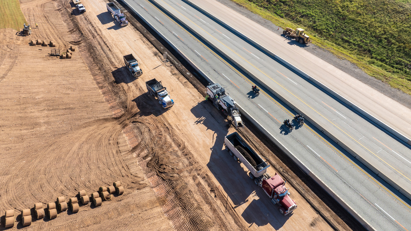
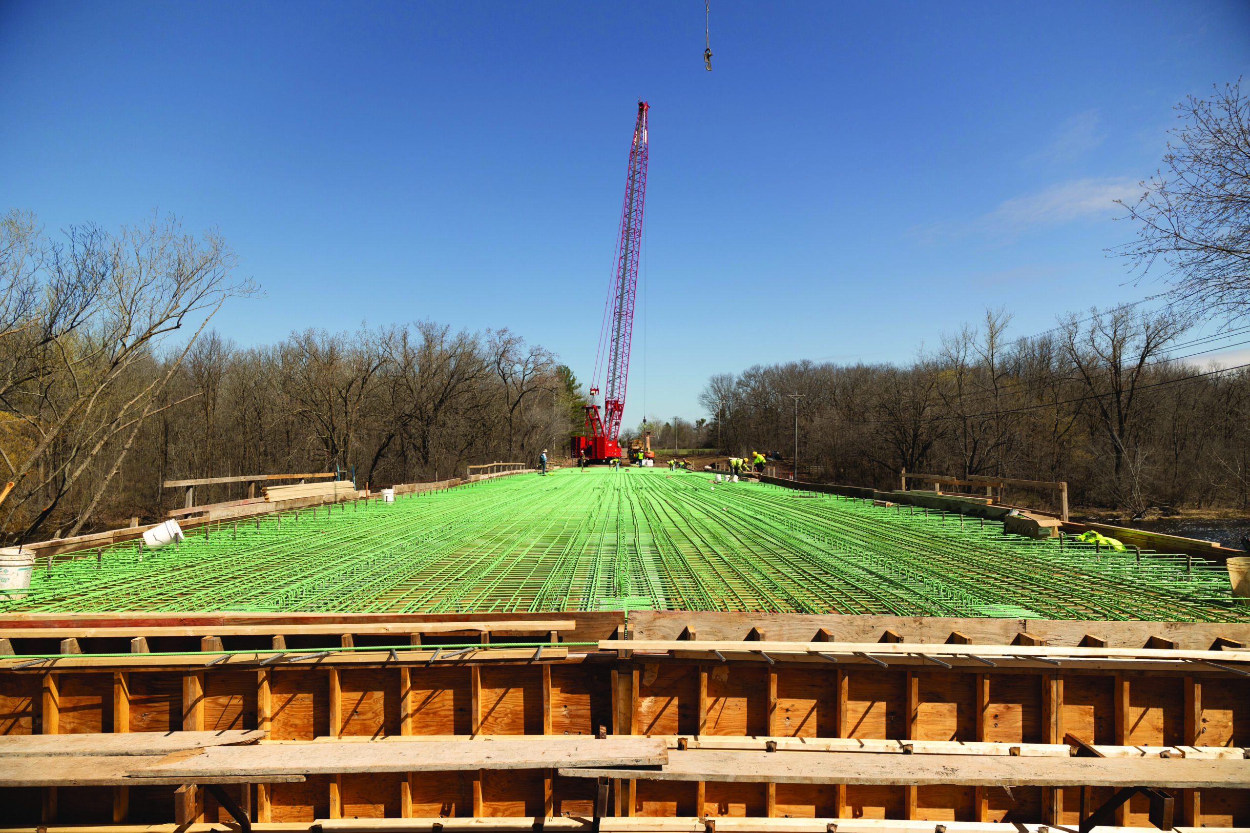
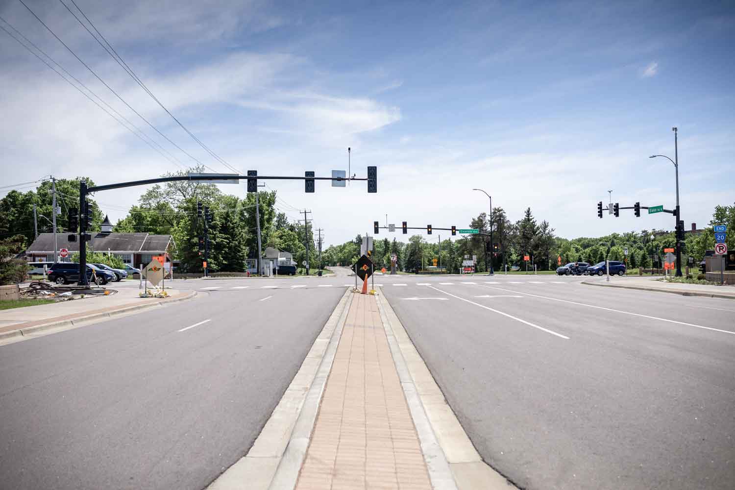
Q: Where do you see the future of North Texas transportation?
There is an unbelievable amount of growth in the future of North Texas transportation. It doesn’t seem to be slowing down anytime soon.
WSB’s curiosity and commitment to continuously improving the way we do things is what makes WSB different from other AEC firms.
We are in a great place with the surrounding counties, and they are all experiencing growth.
When there is growth there are going to be infrastructure projects.
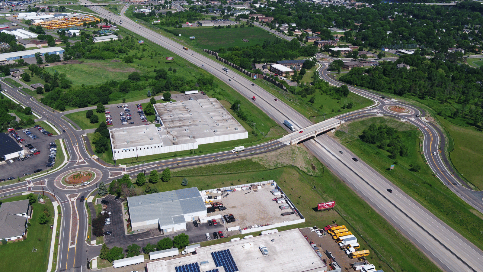
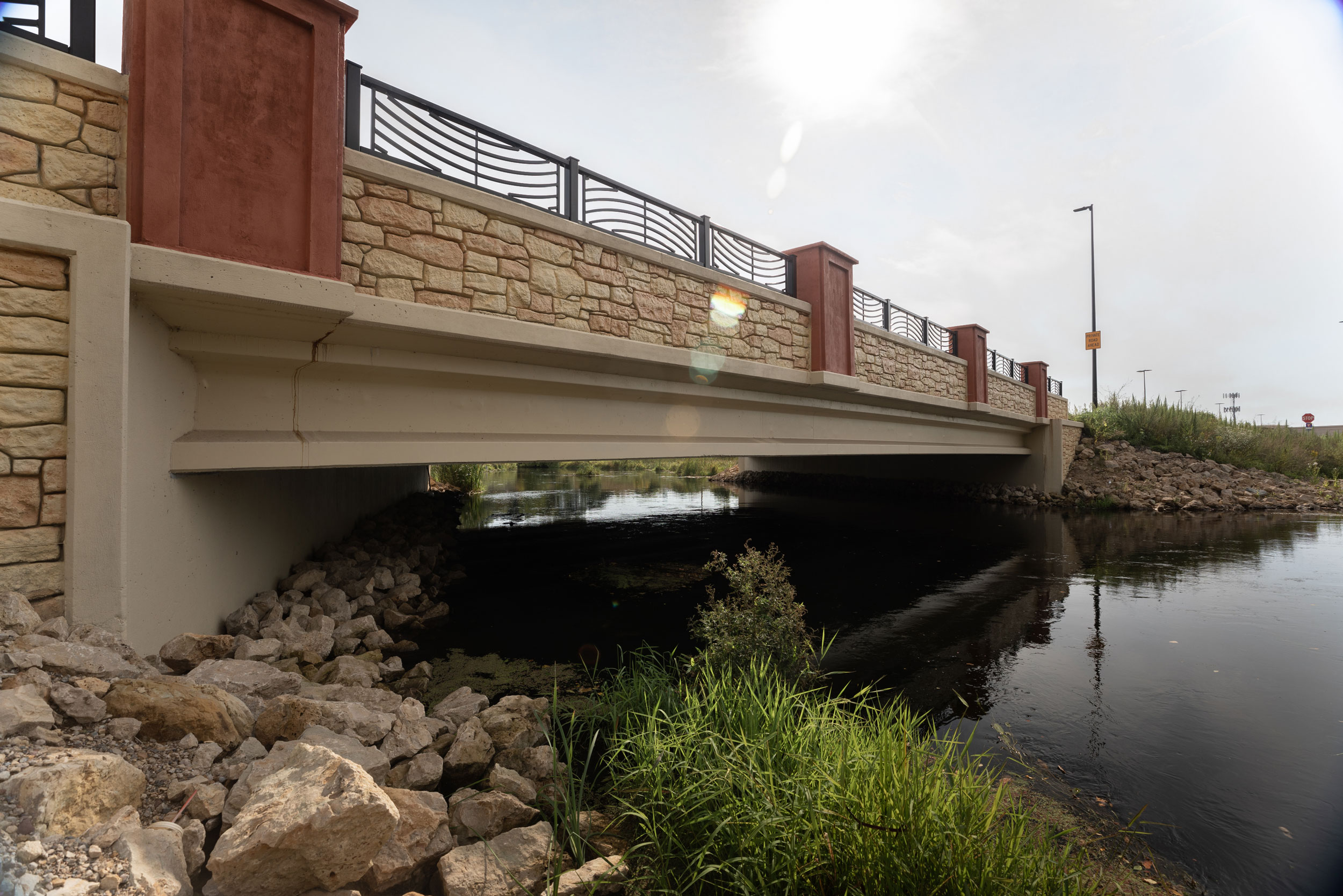
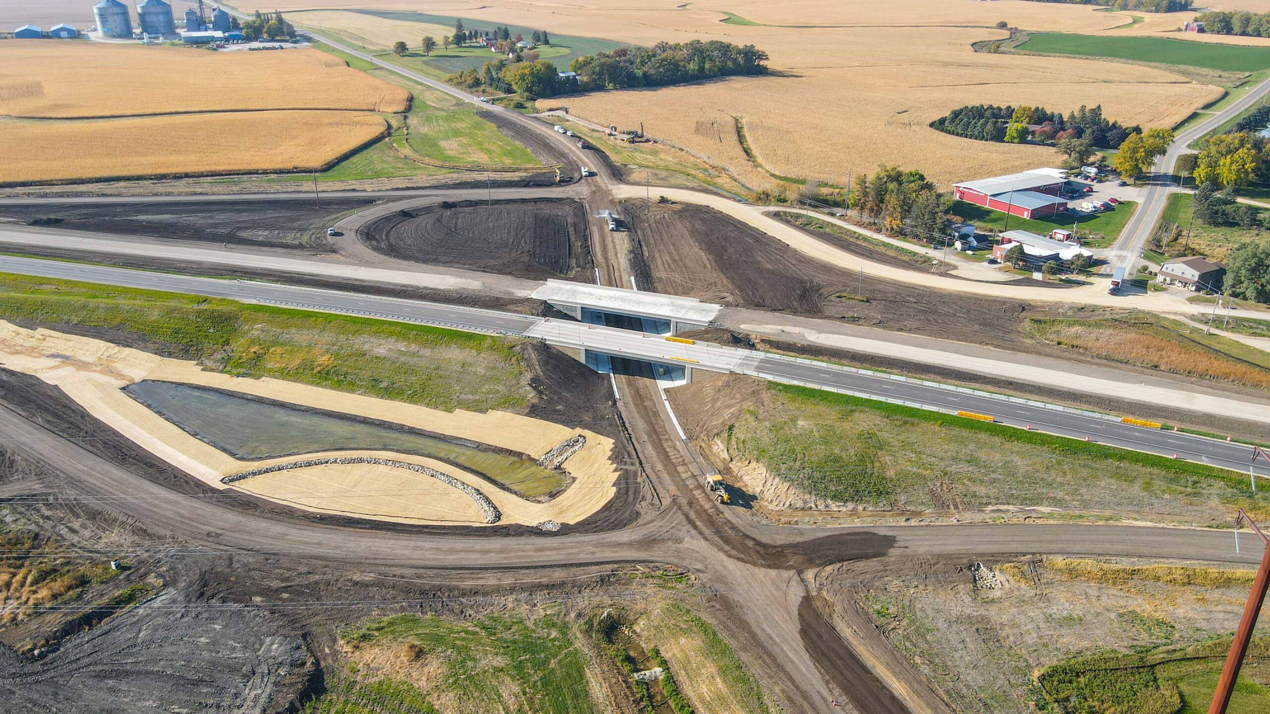
When you look at TxDOT and the $10 billion portfolio projects over a ten-year timeline, the opportunities are substantial. There is an incredible amount of work and there will be opportunities for design projects and construction oversight to assist with.
Cities are growing and we have opportunities to support their infrastructure needs as well. We are well positioned in our communities, and we continue to grow along with them.
Q: What is your favorite part about leading the North Texas transportation team?
My favorite part is teaching young staff and passing along lessons learned. When you see the staff, you are working alongside develop and grow, you feel good about what you are passing down. They are continuing the legacy of supporting counties and the communities we serve. We have partnerships win the community, the state and the county and we want to make an impact. I like the fact that I can look back on what I have done and what I have taught as a leader and know that I was a part of something bigger. Passing down knowledge to the younger generation and knowing that they will only improve on it from when you were in charge is what is most important.