November 15, 2022
By Jake Newhall, Project Manager, WSB
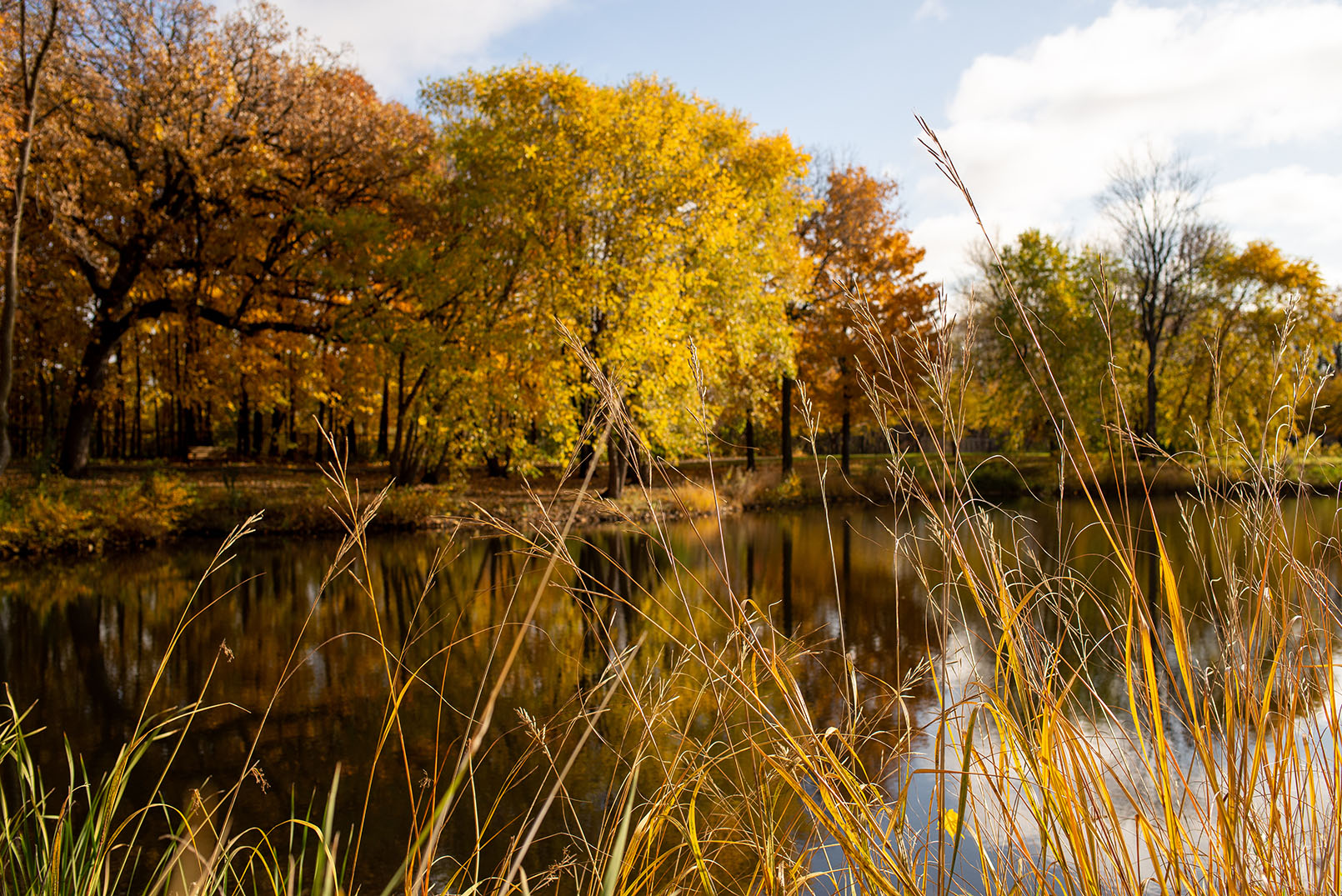
Autumn is in full swing. While the arrangements of red, orange, and yellow are stunning, the mass collection of leaves that enter a city’s sewer system after a rainfall can cause serious damage – from clogs to flooding to pollutants in our waterways.
When the Leaves Fall
When leaves fall, especially when followed by heavy rainfall, leaves on roads, sidewalks, and other impervious services can wash down into city sewers. When the leaves break down and decompose, the nutrients they contain can end up in water. This leads to harmful algal blooms and degraded water quality in rivers, streams, lakes, and other water bodies.
Additionally, too many leaves washing down stormwater systems can also clog pipes and drains, cause localized flooding, and lead to expensive maintenance costs for cities.
How can cities proactively address fall foliage and prevent these issues? Here are some tips and tricks.
Targeted Street Sweeping
The first thing communities can do to avoid these problems is establish a targeted street sweeping plan which analyzes and maps impervious surfaces and high tree canopy coverage areas, as well as their proximity to high-value water resources. Street sweeping is one of the most cost-effective methods to reduce pollutant and nutrient loads to waterbodies and can be very helpful in achieving TMDL goals.
While leaf fall can happen at different times each year depending on several factors including weather, an efficient street sweeping plan prepares communities to manage and strategically target optimum leaf removal.
Community Education
Another thing communities can do to help prevent leaves from clogging drains and entering into waterways is to educate residents and private property owners about best practices in autumn. Raking leaves, bagging them, clearing the gutters near private properties, Adopt-a-Drain programs, and properly disposing of the leaves can go a long way in reducing the total amount of nutrients in our waterways and leaves in storm drains.
How WSB Can Help
Not sure where to start with creating a targeted street sweeping plan? WSB can help create a customized street sweeping plan that meets your community’s needs. WSB can also help communities reach their pollutant removal goals and execute on water quality management.
Jake has more than 15 years of engineering experience designing and managing many types of water resources projects, including modeling, planning, design, maintenance programs, and construction. Jake has worked with various municipalities, counties and state agencies to solve challenging water quality and water quantity problems.
[email protected] | 763.231.4861