By Chris Petree, Director of Operations, Alison Harwood, Director of Natural Resources, and Ray Theiler, Water/Wastewater Engineer
Understanding chlorides and making responsible decisions about them is challenging at best. They serve important functions in our everyday life, but they can also create lasting damage to the world around us. Learn more about how the chlorides are used on a day-to-day basis, what the long term affects are, and what options are available to properly manage them.
What are chlorides and how do they play a role in our lives?
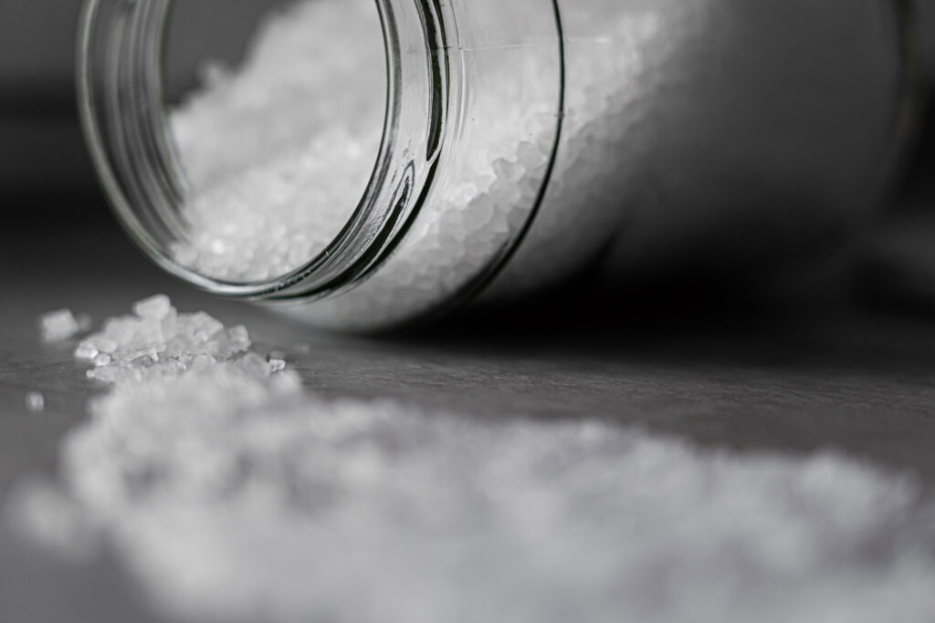
Simply put, chlorides are salt. They play a big role in Minnesota life. Primarily, they are used in our water softeners to treat the state’s notoriously hard water and for de-icing the roads during winter months.
What negative impacts does over usage of chloride have?
Overuse of chlorides can affect our communities in a variety of ways. Understanding their full impact can be nearly impossible to calculate. Below are just a few of the ways people should be aware of.
Community water supplies: Many of our communities get their water from groundwater wells. They pull water from the ground to provide a public water supply. Excessive use of chlorides leads to groundwater contamination which makes its way into lakes and rivers and ponds, ultimately infiltrating the groundwater. When the groundwater develops high chloride levels or contamination, it becomes a safety issue that communities need to address.
Plants and wildlife: When concentrations of chlorides get high enough, it begins to kill plant life and setting off a domino effect in the eco systems. High levels of chloride destroy plant roots in aquatic systems resulting in fewer plants rooted to the lakebed. The lack of supportive root systems compromises bed stabilization and leads to more opportunity for sediment to be churned up, resulting in reduced water transparency and water quality. Salt used on roads can negatively affect wildlife and local pets. These animals often eat the salt used on roadways which can lead to illness or death. Even animals who need added salt in their diet are in danger, they are attracted to roadways (i.e., deer) causing safety concerns for the animals and drivers.
Infrastructure and transportation: Regardless of the application, we know that salt can be destructive and can lead to damage. Metal is particularly susceptible to salt damage.
- High levels of chlorides on the streets have historically had a negative affect on vehicles. The salt on the roads builds up on the vehicles leading to premature rusting.
- Pumping water with high chloride levels through pipes can lead to corrosion within water distribution systems, which in turn leads to issues with lead and copper in our water system.
- The chlorides in the water cause premature degradation and failures of storm sewer systems, specifically in catch basins and manholes.
What are the benefits of reducing chloride usage?
The benefits of reducing chlorides are a long list that includes protecting the environment, the health of the community, and local infrastructure. However, often cost is the factor that really creates urgency around reducing chlorides.
Introducing the chlorides into the environment will ultimately require repair and rehab of groundwater systems, storm water systems, water infrastructure, wetlands, etc. All these systems have costs associated with them.

Acquiring the salt is another expense. Whether a small city, county, or state, the budget needed for de-icing is huge. Salt and de-icing chemicals are not produced locally. They can only be delivered by truck, train, or barge from the South. Taxpayer dollars are the how this transportation is funded, reducing chlorides frees up tax dollars to support other needs.
How to do you continue to maintain safe roadways in the winter, while meeting environmental regulations?
Technology and training are key.
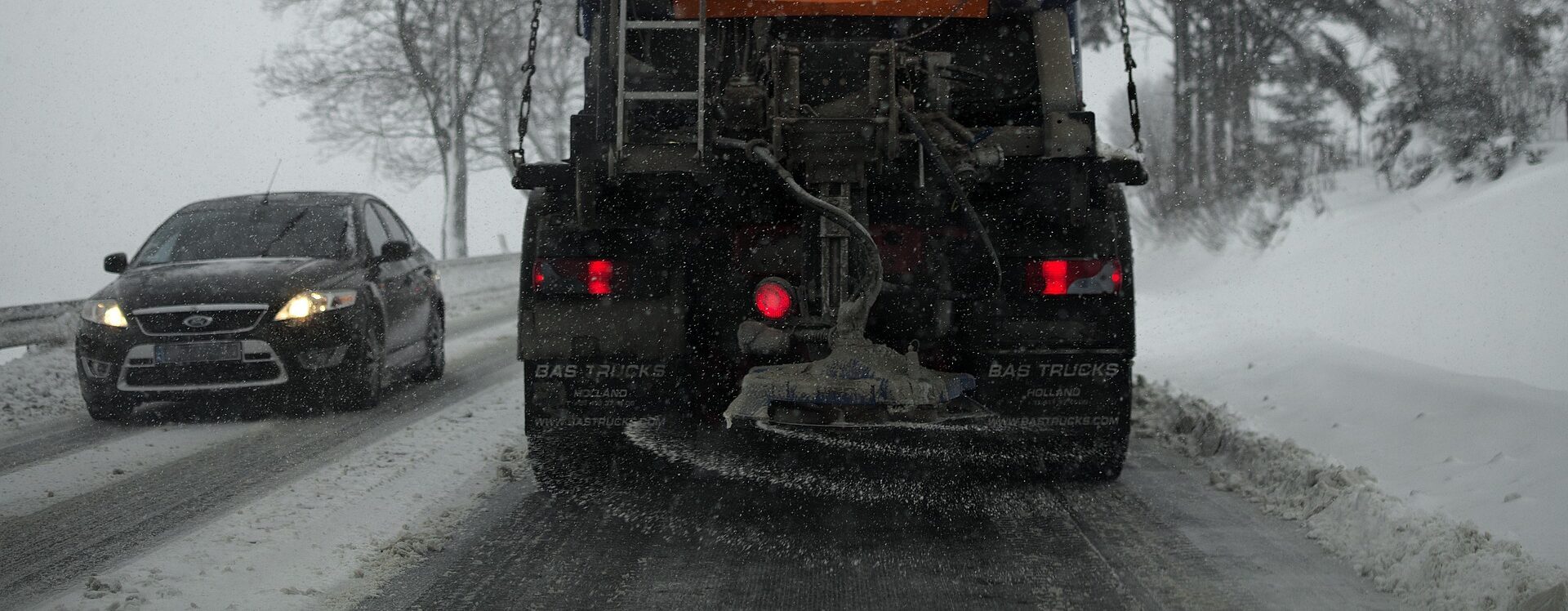
It used to be that a salt truck was sent out with only a lever and a couple of dials for the operator to control salt usage. The technology and equipment currently available allows operators to apply the exact amounts of de-icing chemical needed based on precipitation type, air temperatures, and pavement temperatures. It is critical these staff are trained to use the equipment properly. Equipment and training will require an upfront investment but will ultimately save significant amounts of money on resources and damage repair done in the long run.
Some communities are exploring alternative de-icing chemicals beyond chloride. For example, you can mix in beet juice, molasses, sand, etc. There are many alternatives and mixtures that are less harsh on the environment, more cost effective and benefit communities in the long term.
How can communities help reduce chloride usage overall?
- Make sure water softeners are functioning efficiently or upgrade to a higher efficiency model.
- Explore those alternatives to road salt.
- Educate: There are resources and trainings available.
- MPCA Smart Salt Training: Educate businesses, property managers and residents. Its important communities take an active role in chloride reduction.
- Involvement: Get communities involved by including information in community newsletters.
WSB can evaluate chloride usage and make recommendations for how to move forward. Our staff have the experience and knowledge, from years and years working at public agencies, that we can provide operational assistance and assessments when it comes to communities and planning.