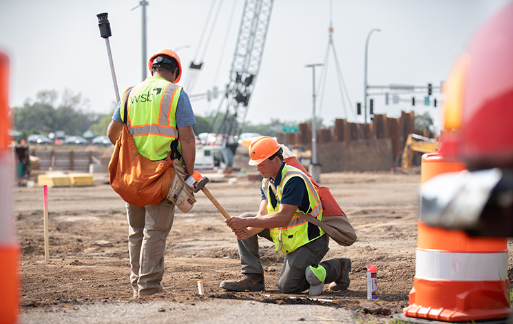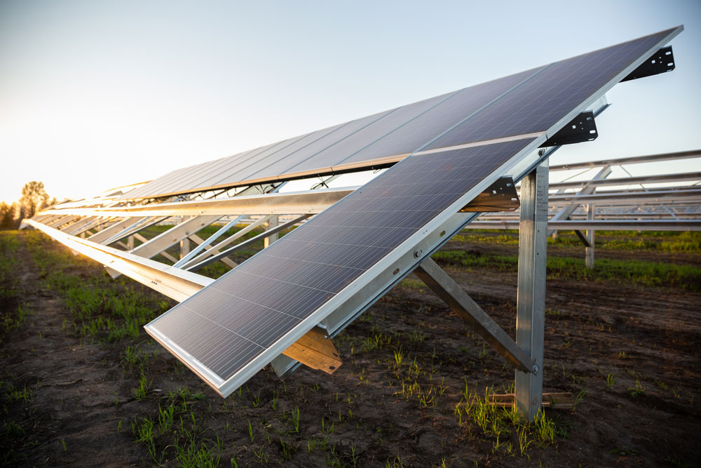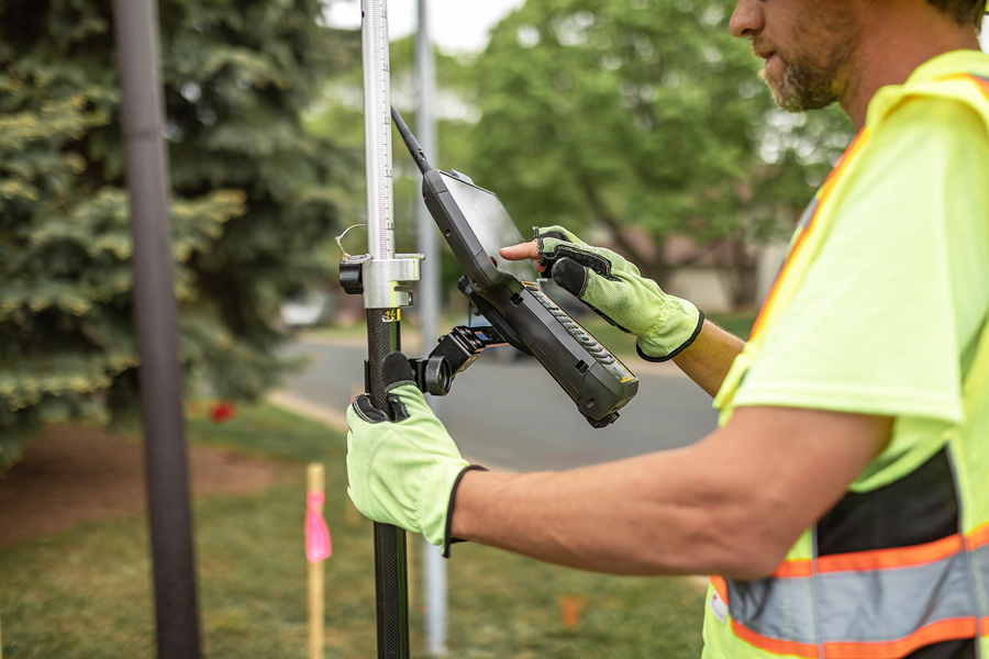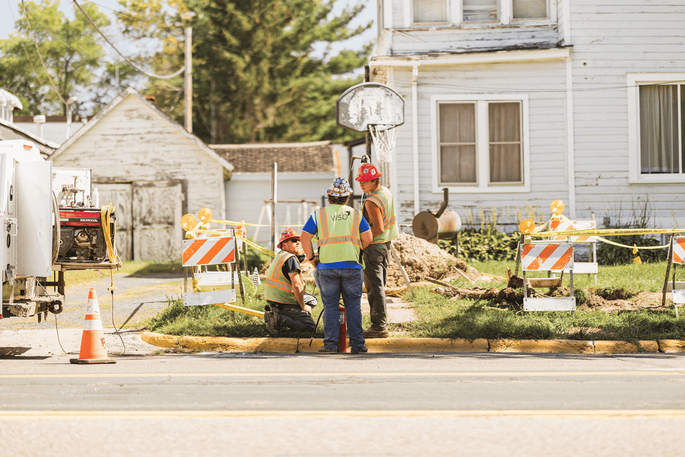
Reliable infrastructure for a changing energy landscape
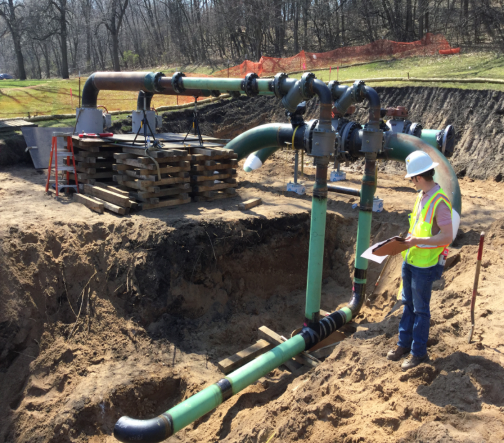
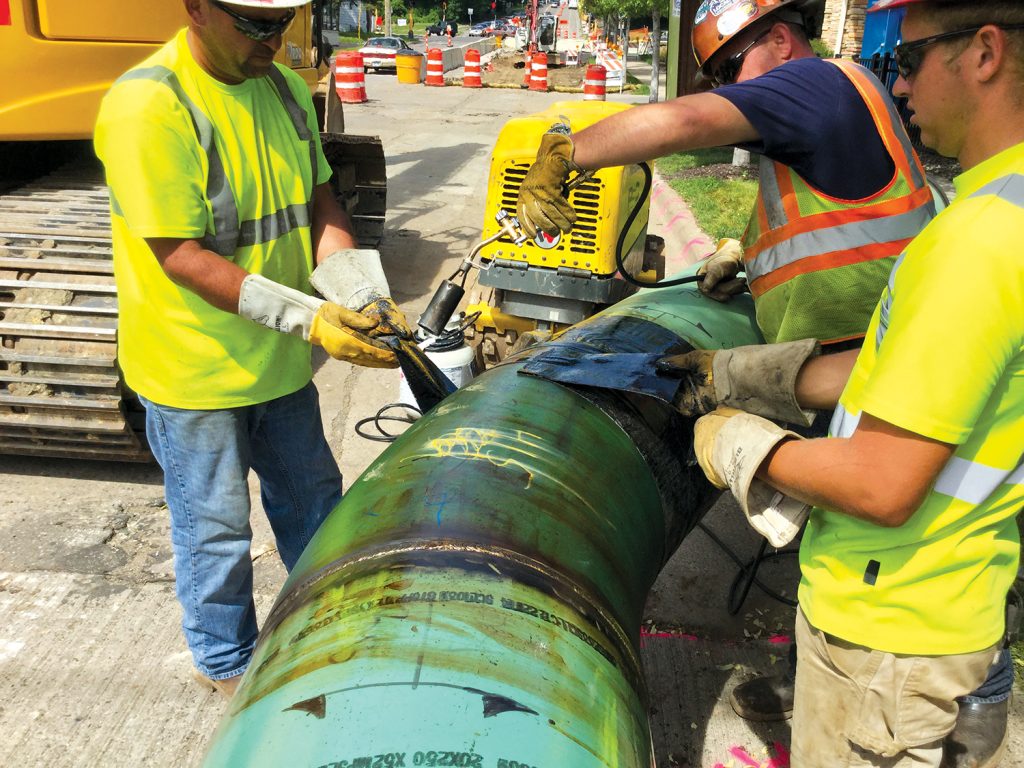
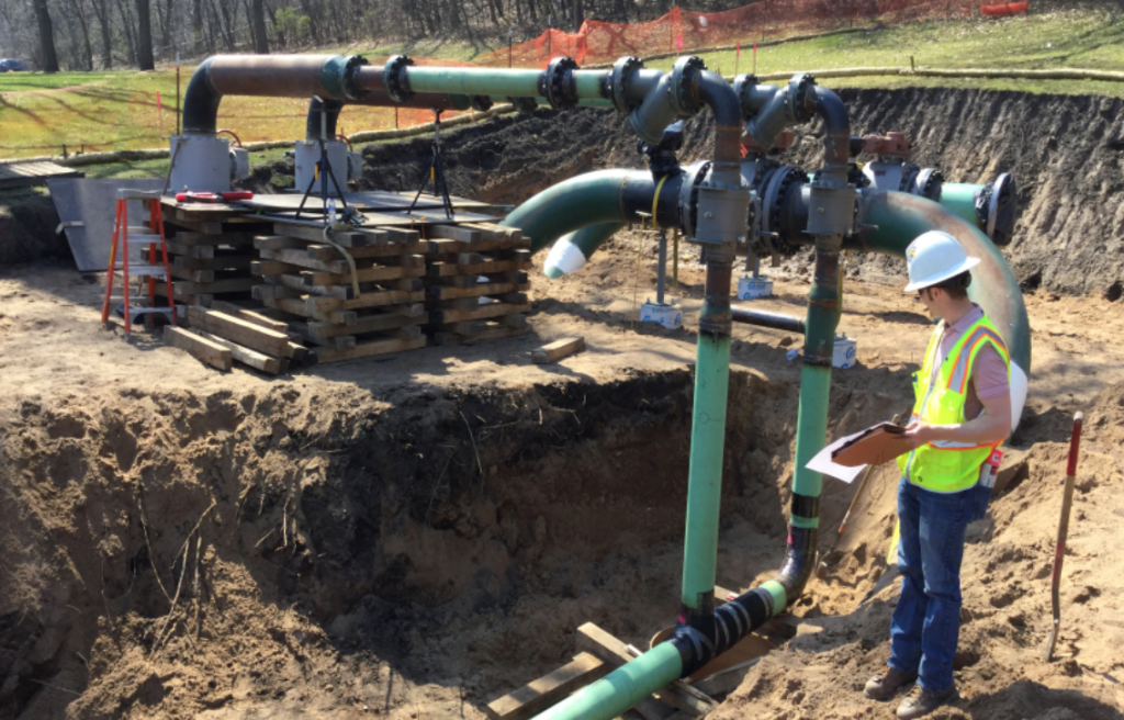
Rising energy demand and aging utility infrastructure require strategic planning and expert oversight. WSB partners with energy providers to support the construction, rehabilitation, and replacement of pipelines and utility infrastructure. Our in-house team delivers end-to-end solutions, from engineering and inspection to environmental compliance and risk assessment. By combining advanced technology with deep industry expertise, we help clients maintain safety, efficiency, and regulatory compliance while modernizing their energy networks.
Contact Us