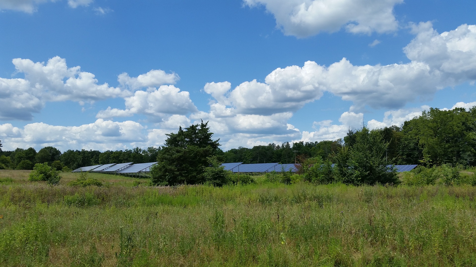
What is a wastewater lift station?
A wastewater lift station is a critical piece of infrastructure included as part of your sanitary collection system. While most wastewater generated by households, businesses, and industries is collected and conveyed via gravity through large interceptor pipes, lift stations collect the wastewater at a low point in the collection network and pump it to a higher elevation to the next gravity line or to a treatment facility.
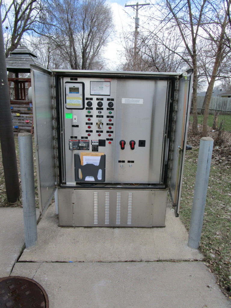
What components make up a wastewater lift station?
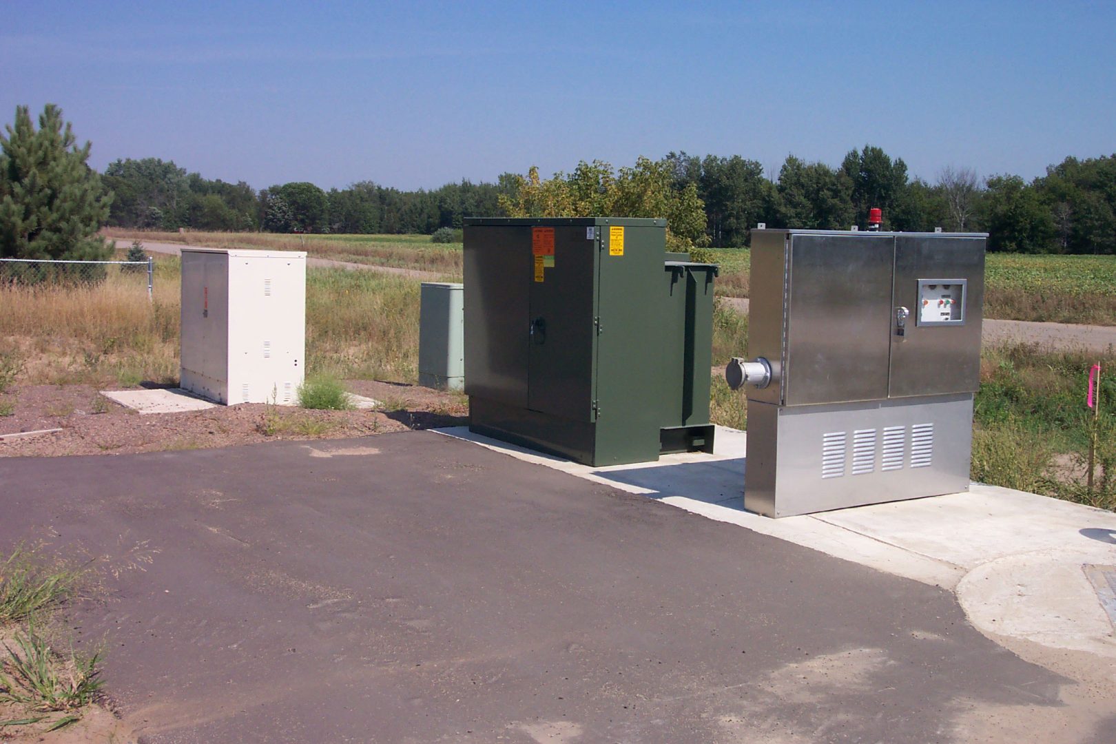
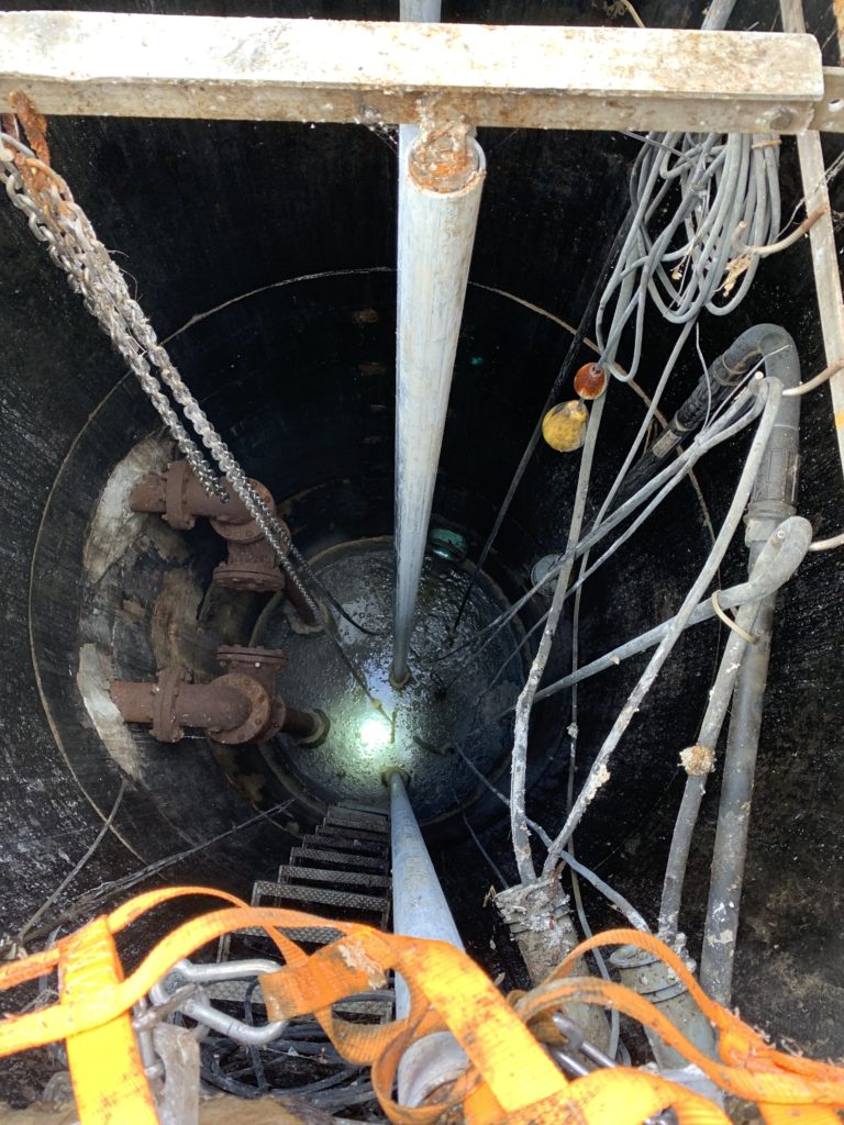
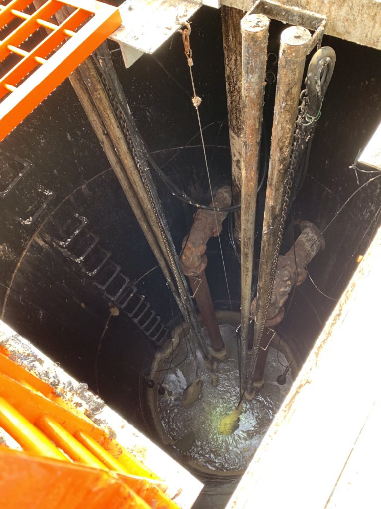
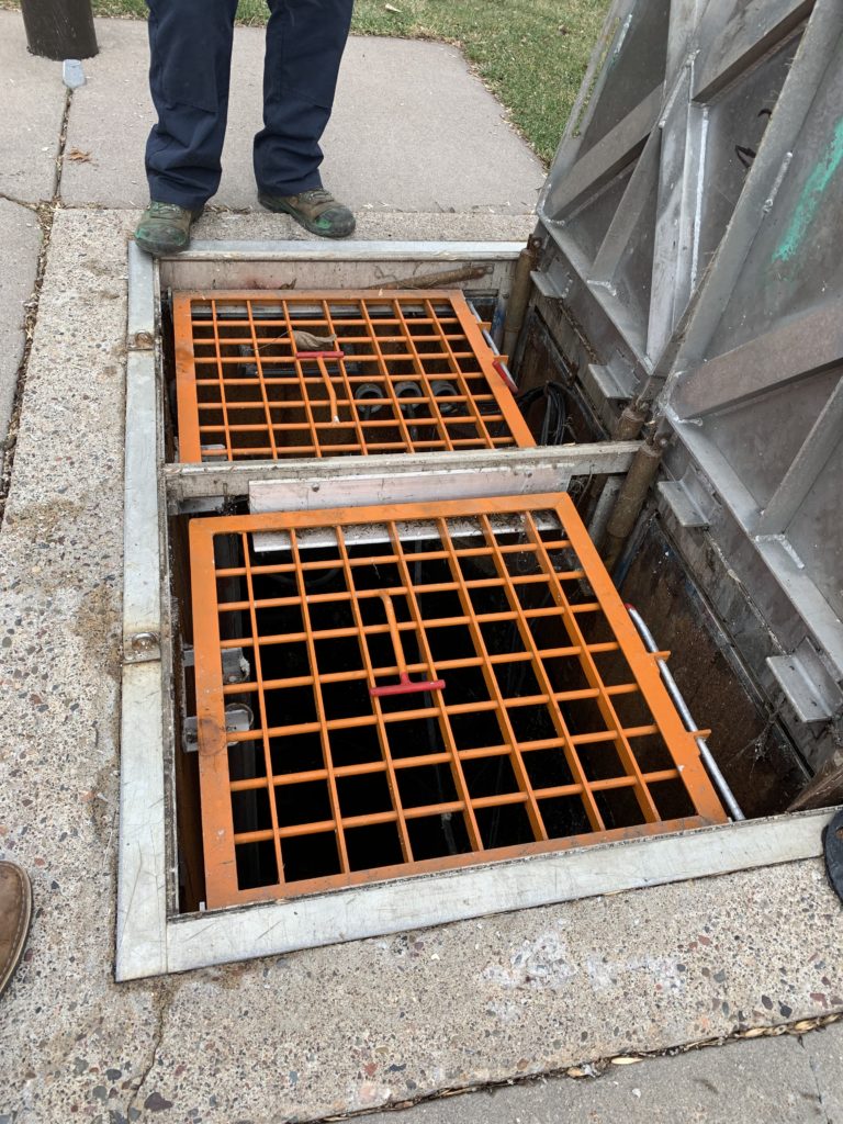
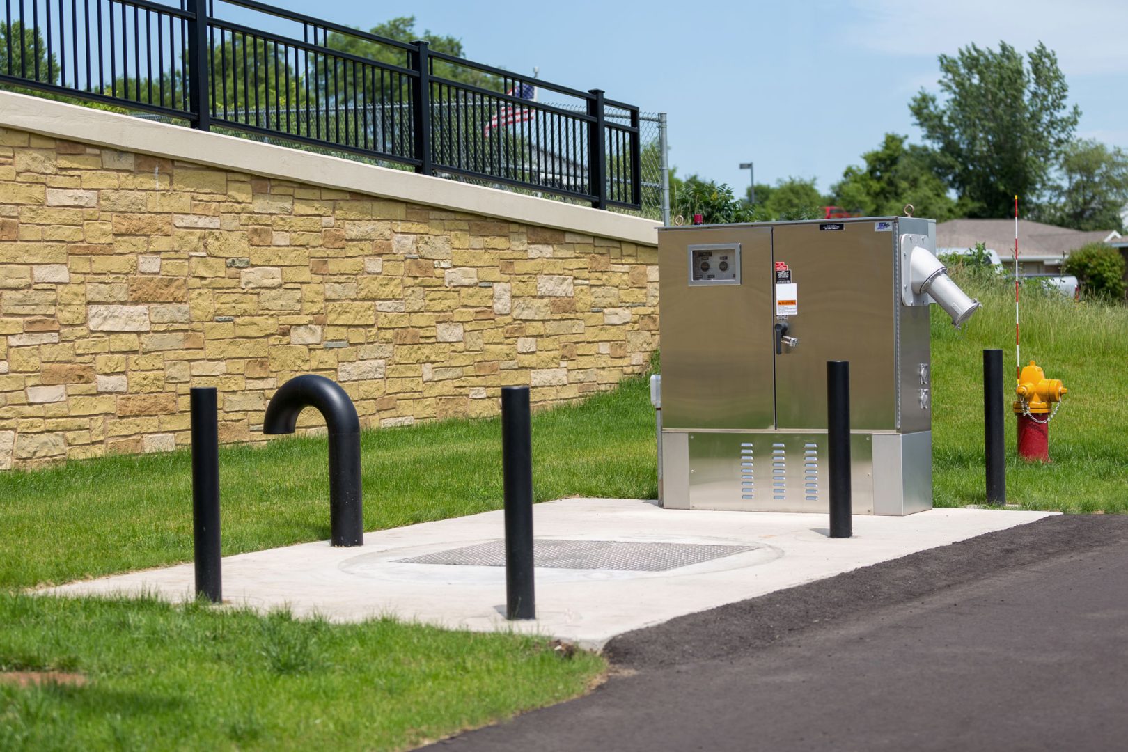
In most cases, a wastewater lift station includes a wet well to temporarily store wastewater, two or more submersible pumps, pump float controls, piping, a valve vault, a control panel, radio communication devices, and a backup generator. The lift station pumps the wastewater through a pressurized pipe, known as a forcemain, which conveys the wastewater to the ultimate discharge point at a higher elevation.
What regular maintenance is required for a wastewater lift station?
Most cities have a sewer department that is responsible for regular maintenance of the wastewater collection system. Lift stations require regular attention to ensure all components are functioning appropriately. These include:
- Daily checks for obstructions or build-up of material that may clog the pumps
- Regular wet well cleaning
- Exercising of valves
- Jetting (high-pressure water), cleaning, and televising all collection system pipes on a 4 to 5-year cycle
What problems can arise from a poorly maintained wastewater lift station?
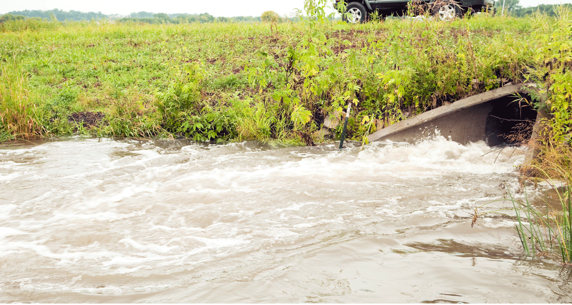
- In the event of a lift station failure, by either a forcemain break, power outage, or pump failure, wastewater will collect in the lift station wet well and backup into the collection system. This could result in sewer backups into homes or cause wastewater to overflow from the lift station to the surrounding environment.
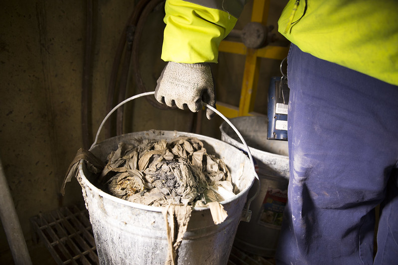
- Wastewater lift stations are also susceptible to clogs from fats, oils, and grease (FOG) generated by restaurants and businesses, as well as “flushable’ rags from households and multi-unit residential buildings.
- Wastewater lift stations can be a source of bad odors that become a nuisance to neighboring properties. The smelly gas from the collected sewage is also highly corrosive and can damage the wet well structure, the piping, and pumps over time.
How much does it cost to fix a wastewater lift station?
Depending on the size, condition, and maintenance history of your wastewater collection system, the rehabilitation of an existing lift station can range from $75,000 to over $250,000.
How can you get help with concerns regarding your lift stations and collection systems?
Our Wastewater group can help your community assess the condition of your wastewater collection and conveyance system, and outline deficiencies that should be addressed in the City’s Capital Improvements Plan. We can complete a condition assessment report for all of your lift stations and provide estimated costs for any recommended rehabilitation. The report may include hydraulic analysis to address pump efficiencies, pump and forcemain capacities, allowing your city to plan and budget for any necessary infrastructure improvements.