By Bryan Pittman
Feb. 6, 2015
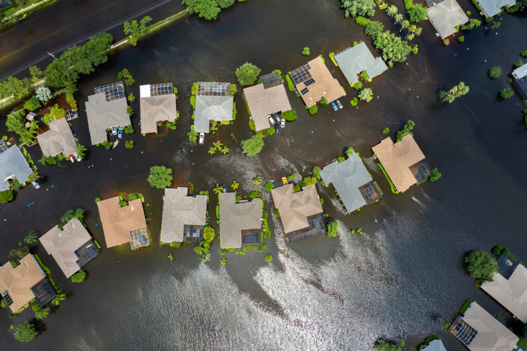
Calculating the area or percentage of impervious surfaces for a given spatial extent helps determine curve numbers, runoff rates, and pollutant loadings. Overlaying an impervious surface layer with drainage areas for a city can determine impervious percentage per drainage catchment. The issue is getting an impervious surface for a large enough area, for example a city or a Watershed Management Organization (WMO). Digitizing of an aerial can create impervious surfaces for small areas but is too time consuming on a large scale.
Fortunately, with the current availability of high-resolution Color-Infrared (CIR) aerial photography, there is a workaround that is far less time consuming. Since the reflectance of vegetation peaks in the near infrared, vegetation yields high returns on CIR photography. This can be used to generate a Normalized Difference Vegetation Index (NDVI). The NDVI is a ratio from the returns of near infrared and visible light, telling us how “alive” something is. A high NDVI ratio signifies healthy, growing, green vegetation, where a low NDVI ratio signifies something not living, say pavement or rooftops.
The typical NDVI value ranges from -1.0 to +1.0 (GIS software calculates a value from 0 to 200). In that range, there will be a cut-off point that separates vegetation from non-vegetation. The value is typically just above 0.0, but varies based on the CIR aerial photography being used. Classifying the NDVI surface into two groups from that cut-off point gives a result that shows the area of vegetation and non-vegetation. Since there is a very high correlation between areas of non-vegetation and impervious surfaces, this result shows what is impervious and what is pervious.
This method yields results that are about 90 percent accurate. First, the assumption is made that vegetation equals pervious surfaces, which is not always the case. A large area of open dirt is a good example. It is still pervious but shows up as impervious because it is not vegetation. Another issue is shadows cast by trees, houses, and other structures. Since shadows are blocking out the light return (both visible and near infrared), any shadow is interpreted as non-living and thus impervious, even though it may be a pervious surface.
Even with these minor disadvantages, the time saved is enormous. Instead of taking weeks to digitize all the impervious area within a city, this analysis can be completed in under an hour. It is necessary to perform quality control on the data and clean up any of the issues described above by reclassifying something as pervious to impervious or vice versa.