
What is LiDAR?
LiDAR, which stands for Light Detection and Ranging, is a combination of “light” and “radar.” It’s a remote sensing technology that uses lasers to detect and measure features on the surface of the Earth. Due to its high accuracy, LiDAR has become the de facto standard for creating elevation surfaces and measuring heights of features above the ground such as trees or buildings.
LiDAR in action
Minnesota completed a statewide LiDAR gathering project funded by the Clean Water, Land and Legacy Amendment, and spearheaded by the Minnesota Department of Natural Resources and the Minnesota Geospatial Information Office. The six-year project resulted in a seamless, high-resolution digital elevation map of the entire State of Minnesota. This data is completely free to download and offers a vertical accuracy of six inches. This project has enabled the flow of accurate topographic information between all organizations and the general public.
LiDAR deliverables
The deliverables of the project came in different formats. The simplest and most frequently used format is two-foot contours that were generated statewide. There is also a high-resolution Digital Elevation Model (DEM) that can be acquired as county tiles. The user can generate contours at varying intervals in this format, such as one-foot or even six-inch. Both the contours and the DEM use bare earth returns, meaning you only get surface elevation.
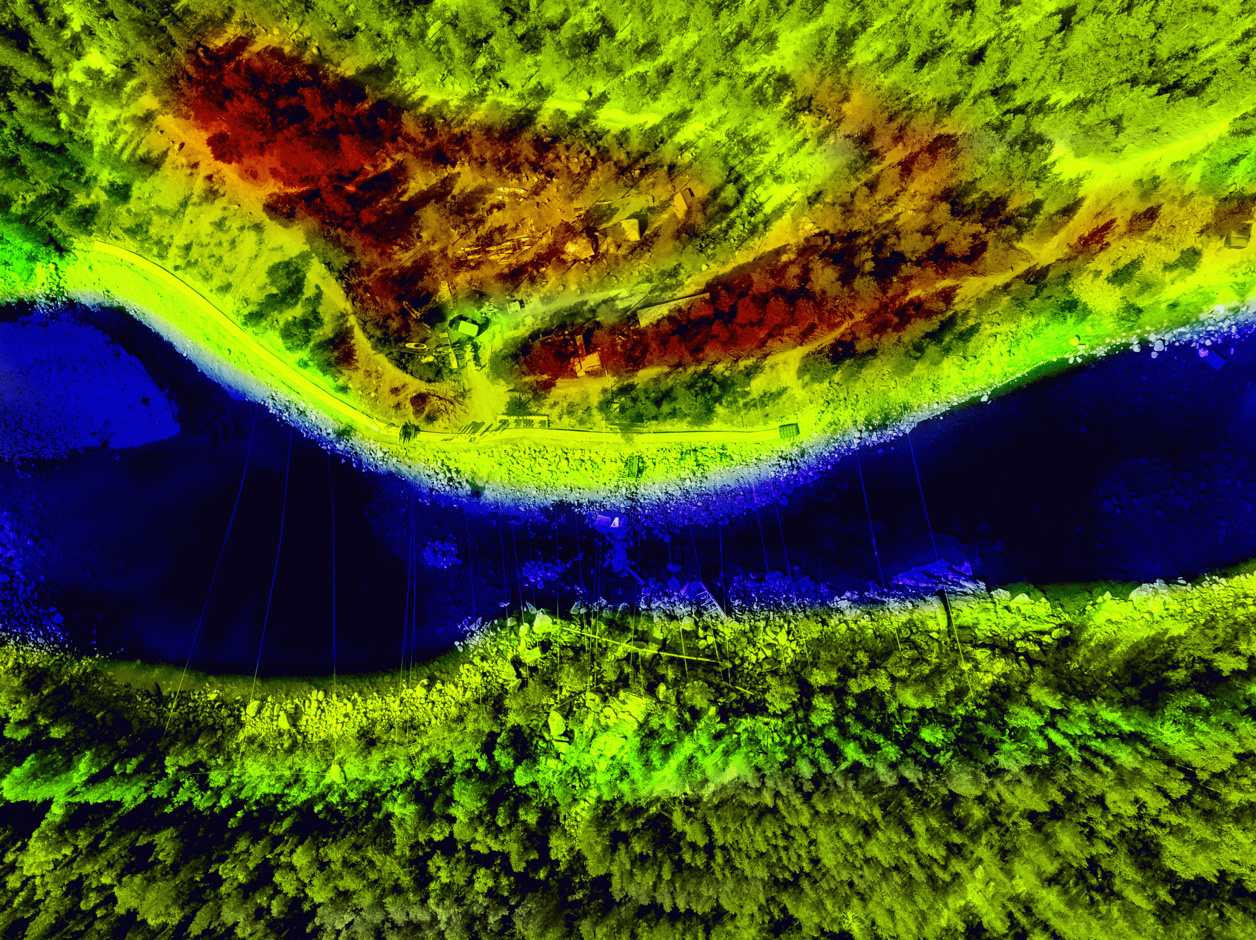
A third format is the raw LiDAR data, which is dense collection of points, or a point cloud. If you imagine the laser from an airplane hitting the surface, it’s the information at that contact point that is reflected back to sensors on the plane. The density of those points depends on the exact collection methods, but typically there will be 2 million points per square mile, or approximately 20,000 points for a typical city block. The point cloud gives access to all the returns and not just the bare earth returns; therefore, we can gather information about the heights of trees, buildings, water towers, etc. The point cloud is so dense that it is even possible to extract overhead power lines from the data. These multiple returns allow the data to be used for many different 3D analyses and visualizations. Certain 3D software packages allow the user to take the point cloud and turn it on its side, creating a vertical profile with accurate object heights and ground elevations.
LiDAR uses
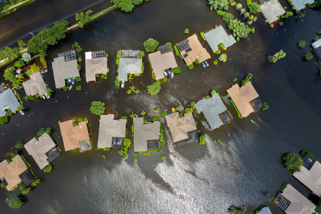
There are many uses for LiDAR data beyond viewing ground elevation or object heights. Any kind of hydrologic flow analysis can benefit from the use of this data. Erosion analysis can be done by using slope estimates from LiDAR to compute the amount of erosion in certain areas, and that in turn can be used to calculate sediment accumulations. LiDAR has also been used for flood modeling, urban planning, oil and gas exploration, and coastline management. With the wide availability of free and highly accurate topographic data, many are reaping the benefits of LiDAR data and finding that its uses are far-reaching across many disciplines.