By Kelsey Peterson, Graduate Engineer, WSB
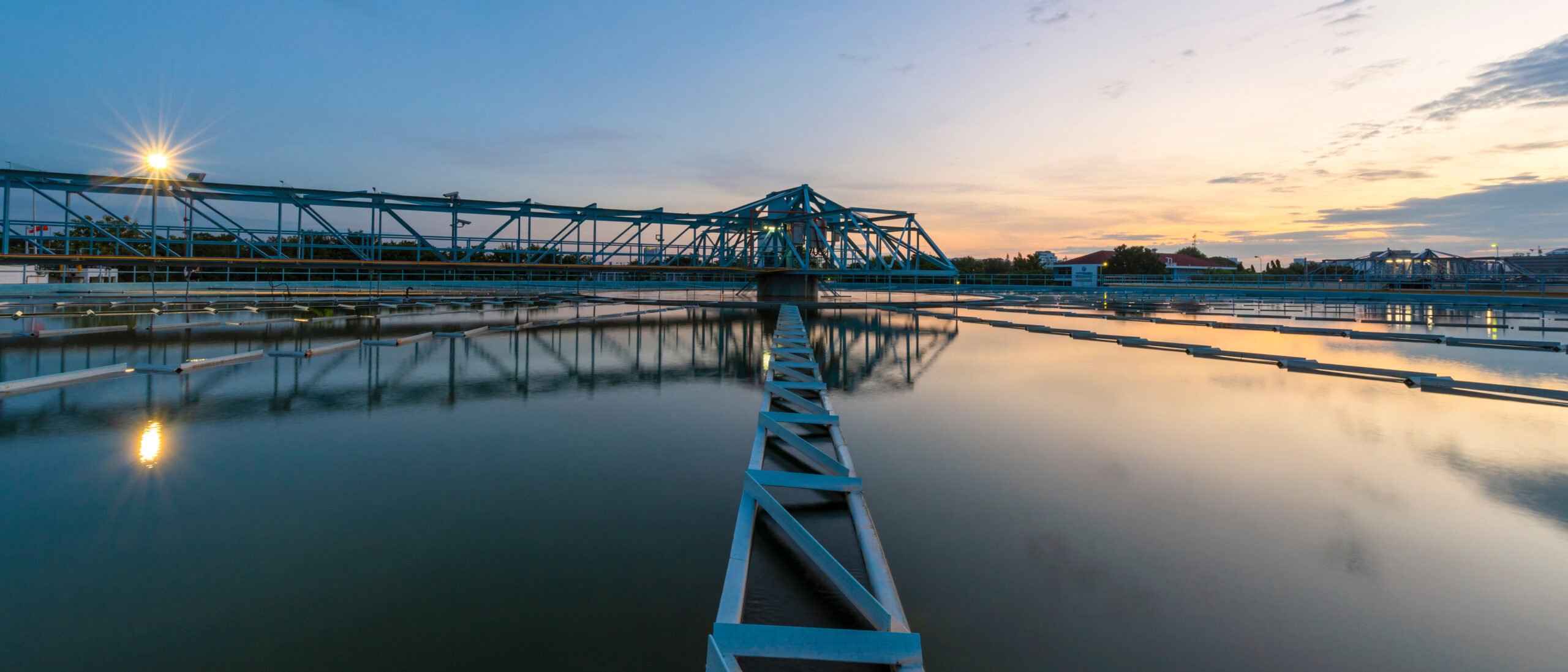
4D/5D modeling is intended to improve the accuracy and efficiency of projects. It has applications throughout the project life-cycle, from preliminary design to project close-out with the contractor. Learn more about some of the ways incorporating into your project and improve your projects overall success.
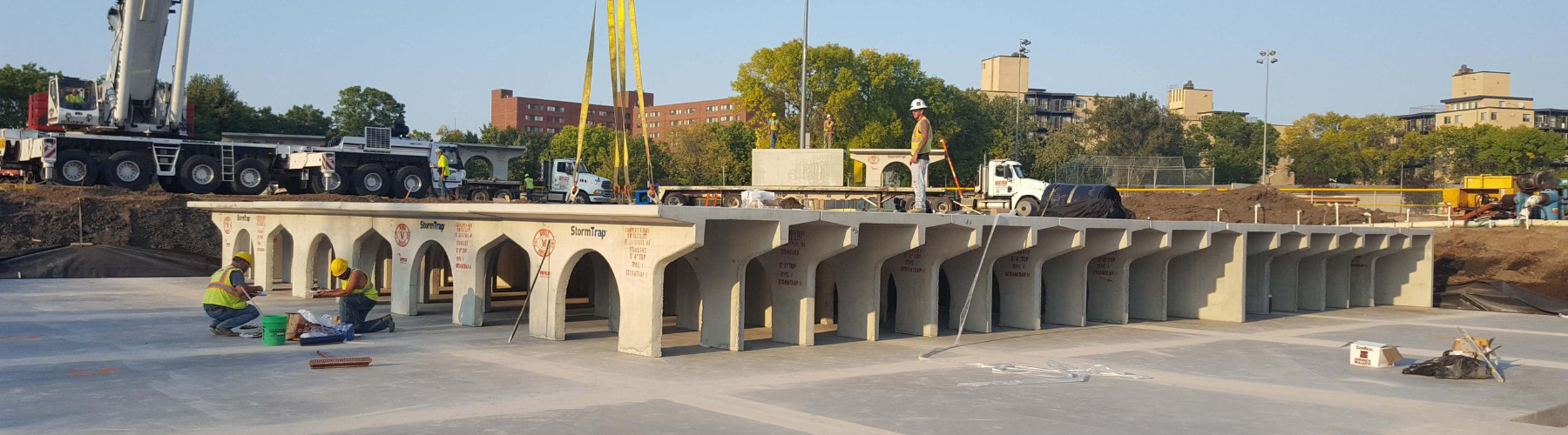
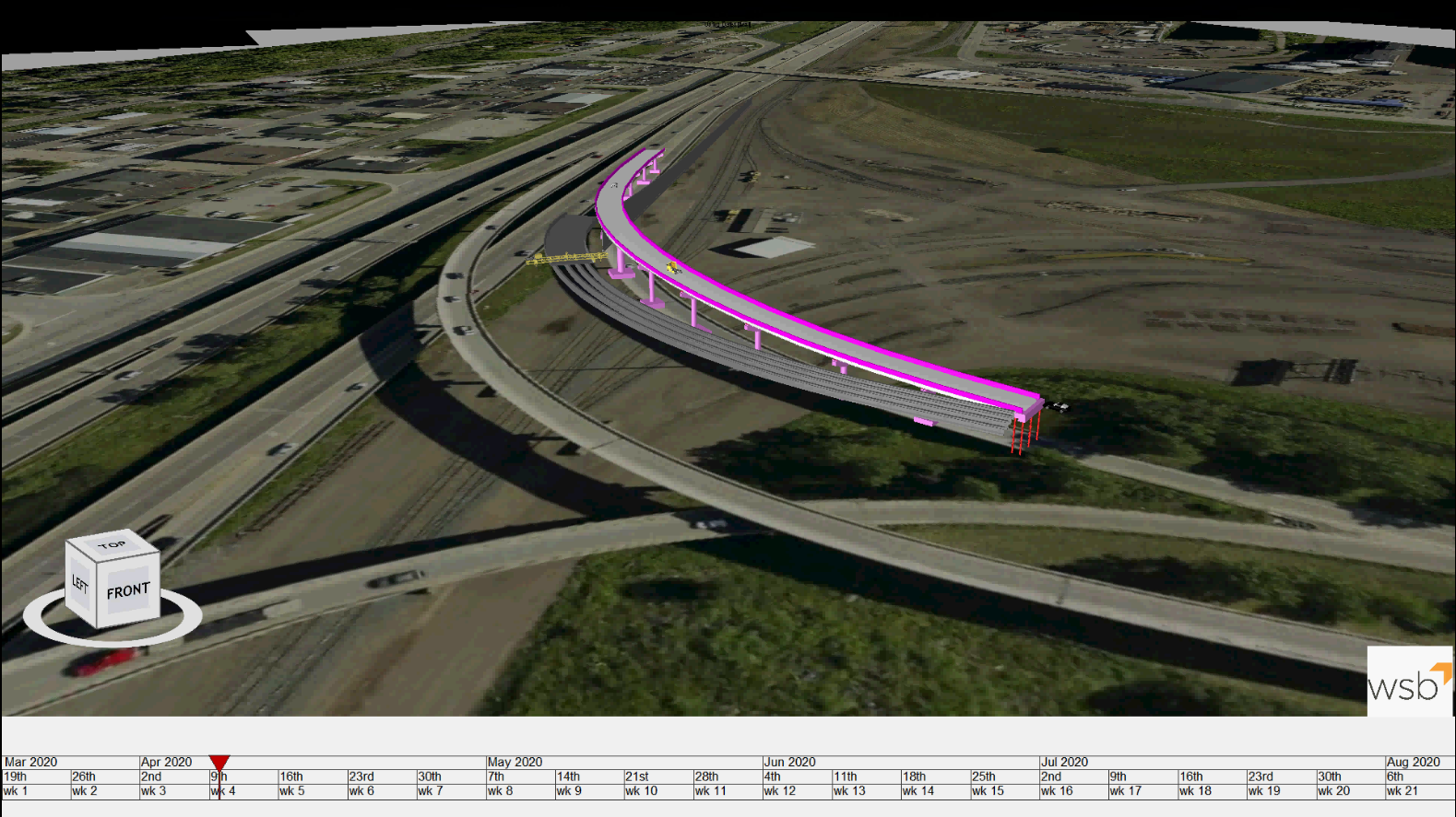
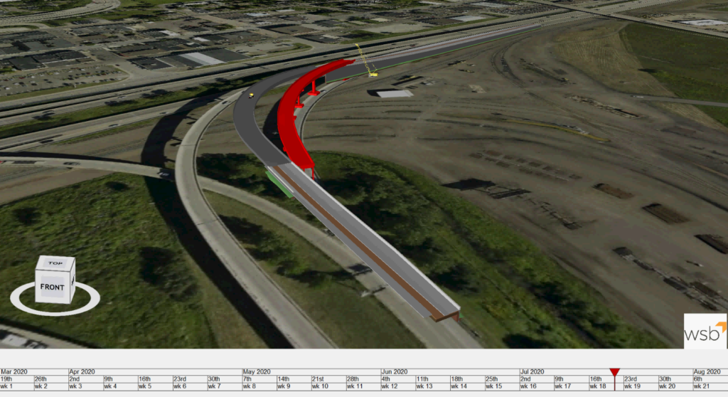
4D models help mitigate project risk by visualizing project conflicts that are not easily identified in traditional Gantt style bar charts. A 3D model linked to a project schedule provides the project team the opportunity to identify and mitigate project staging, utility, and discipline conflicts by providing a visual of how construction will play out as a function of time. It also provides a visual of project opportunities, allowing the project team to reschedule activities that may be better sequenced to reduce construction delays and cost, as well as redesign the 3D model to include missing design elements that would otherwise delay construction. Project time and cost savings are the direct result of using the 4D model to identify and mitigate project risks early on in construction.
The 4D/5D models provide a level of transparency that encourages coordination between project team members, creating team accountability through clear vision of project construction. The 4D/5D model is used to bring project conflicts to the surface and create the opportunity for project team members (owner, contractor, engineer, and project stakeholders) to resolve challenges in a collaborative environment.
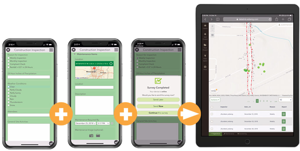
4D/5D modeling enhances project coordination by allowing new project team members and stakeholders be brought up to speed quickly on the design and staging of the project. This greatly enhances project communication relative to the use of a traditional Gantt style activity chart. It also provides the opportunity for developing staff to become familiar with a project that may, historically, have been easier for a more senior staff member to visualize. The 4D/5D model allows the project team to develop and review a safety plan visually and highlight construction activities where accidents and risks can be reduced prior to the activity occurring on the project.
By incorporating 4D/5D modeling, your projects will run more smoothly and efficiently. It allows you to mitigate risk though the application of a timeline to the overall plan creating greater vision and improve efficiency by encouraging team work and increasing overall project vision. Contact us for more information how modeling can be applied to your projects.
Kelsey, a graduate engineer with WSB, successfully balances the needs of different modal users, property owners, and environmental constraints. She is known for her attention to detail and innovative solutions to complex designs.
[email protected] | 612.709.4897