By Tony Havranek, Sr. Ecologist, WSB
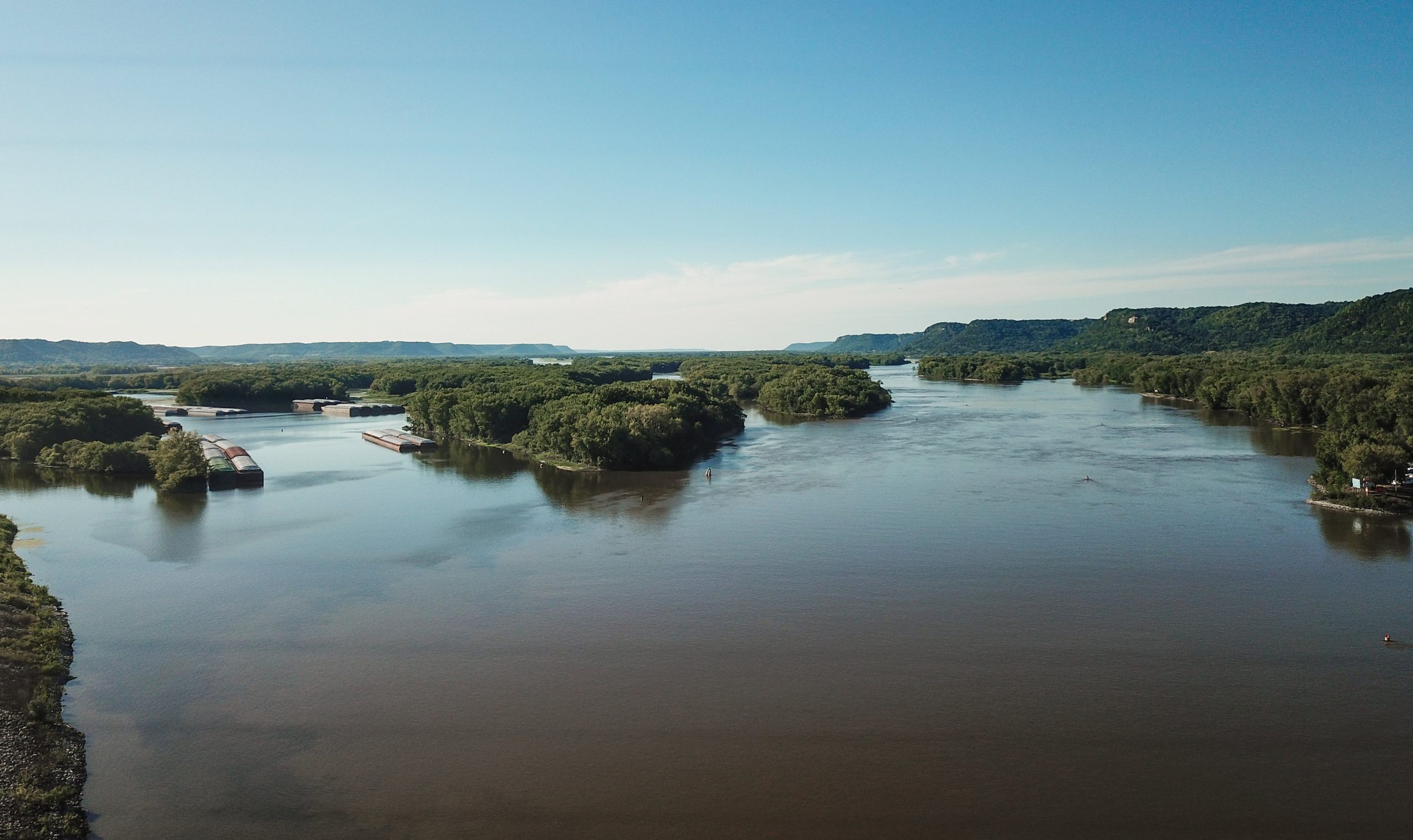
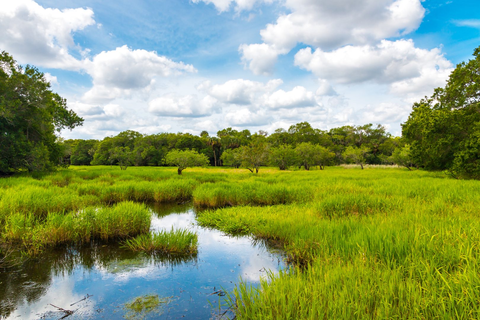
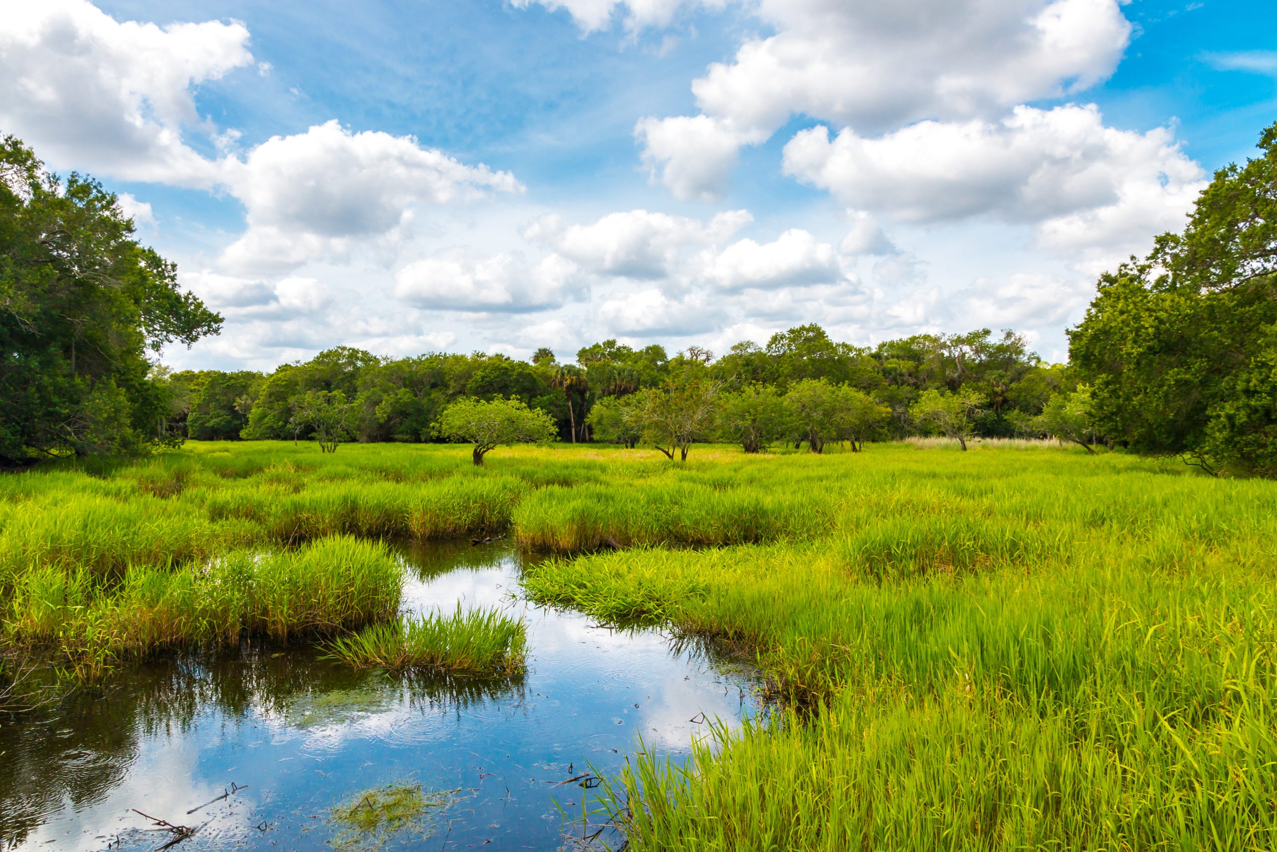
Boating, fishing, swimming, and enjoying a day near a lake, river, or stream is part of Minnesota’s culture. Unfortunately, nearly 40 percent of Minnesota’s lakes and streams are included on the Minnesota Pollution Control Agency’s (MPCA) Impaired Waters List. (See the list at https://bit.ly/2BwTk3r.)
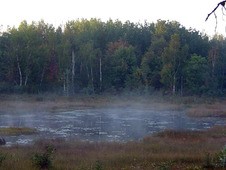
Meeting surface water quality standards requires monitoring pollutants that can affect the physical, chemical, or biological makeup of surface water. Phosphorus is one of the main pollutants in the state’s bodies of water. Phosphorus is a pollutant that comes from both external and internal loading sources. Today, Minnesota law limits the use of fertilizers containing phosphorus, but prior to these limits, phosphorus was widely used in several commonly used chemicals settling in our lakes, rivers and streams. Meeting water quality standards requires a reduction of phosphorus in the water column. A water column is the vertical section of water from the surface to the bottom of a body of water.
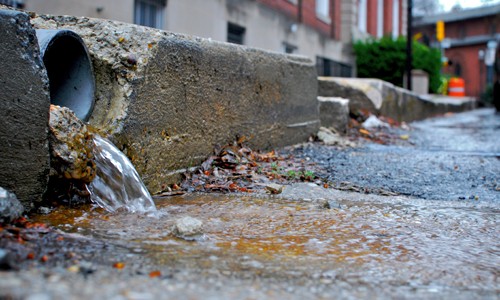
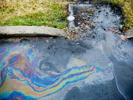
External sources include stormwater runoff, atmospheric deposition, and directed pipe runoff. Internal sources include sediment suspension, aquatic vegetation, and an overabundance of rough fish. Both internal and external loading sources contribute to surface water quality degradation.
Managing water quality is not only important to the community and the people who live and work there, but it also drives ecological integrity. Because of this, water quality is regulated by federal, state, and local governments.
Where to start
With the appropriate funding and expertise, it is possible to solve water quality challenges and get bodies of water removed from the MPCA Impaired Waters List. Fortunately, numerous funding resources are available through grants, partnerships, and coalitions.
Since water is continuous across landscapes, developing partnerships is often the most cost-effective way to approach managing water quality. It lessens financial burdens and helps many communities achieve long-term success. It also creates opportunities for communities to create long-term plans to improve and protect water quality.
To begin to make improvements, it’s important to understand a community’s water quality issues. Start putting the pieces of the puzzle together by quantifying the scale and source of the pollutant before selecting an approach. The MPCA’s website offers information on a body of water’s total maximum daily load (TMDL) at https://bit.ly/2BbsrVH.
The TMDL is the maximum amount of pollutant a body of water can receive without exceeding water quality standards, and allocates pollutant loads from internal and external sources. In other words, the TMDL identifies all sources of a pollutant and determines how much each source must reduce its contribution.
TMDL implementation actions
Once the TMDL is identified for each body of water, a plan of action can begin to be shaped. Several methods can be implemented to begin to improve water quality.
Public education and outreach. Fertilizers have a major impact on water quality and ecosystems, creating a chain reaction. Excess phosphorus found in fertilizers creates algae blooms. As algae decomposes, oxygen is removed from the water. A lack of oxygen in an aquatic ecosystem effects the native species in a body of water. Educating the public of the harmful effects caused by fertilizer runoff can help limit the amount of phosphorus or other nutrients that flow into bodies of water.
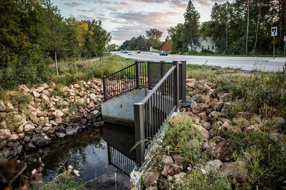
Structural best management practices (BMPs). The MPCA defines a BMP as a stationary and permanent structure that is designed, constructed, and operated to prevent or reduce the discharge of pollutants in stormwater. BMPs can be used for on-site or regional treatment and help a community take a more strategic approach to managing its water quality.
Carp management. Internal loading of phosphorus can be caused by an overabundance of the invasive common carp. High levels of phosphorus cause algae blooms, reduced clarity, loss of aquatic plant and fish habitats, and a threat to human health. Managing and mitigating carp populations improves long-term overall water quality and ecological integrity.
Vegetation management. Invasive aquatic vegetation displaces native vegetation and can release phosphorus into the water column. Vegetation management can help solve this problem. Strategically placed native vegetation can help protect soil from erosion and reduce surface water runoff. Stormwater is then held in place and slowly released, rather than flowing directly into the body of water. Native aquatic vegetation can also help reduce phosphorus-laden sediments through wind and wave action.
There isn’t a silver bullet that can solve a community’s water quality challenges at once, but these are several proven options that can lead to improved water quality and ecological integrity.


