April 14, 2025
By Treasure Agbonkhese, Environmental Compliance Specialist, WSB
Expert insights on adapting to upcoming program updates
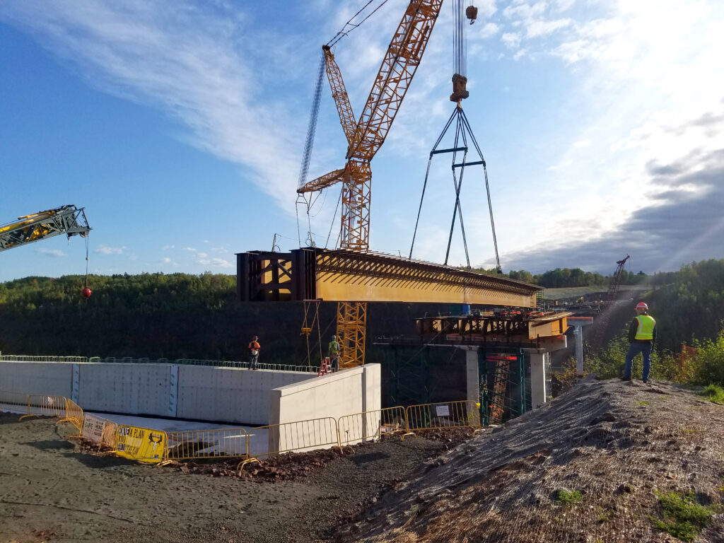
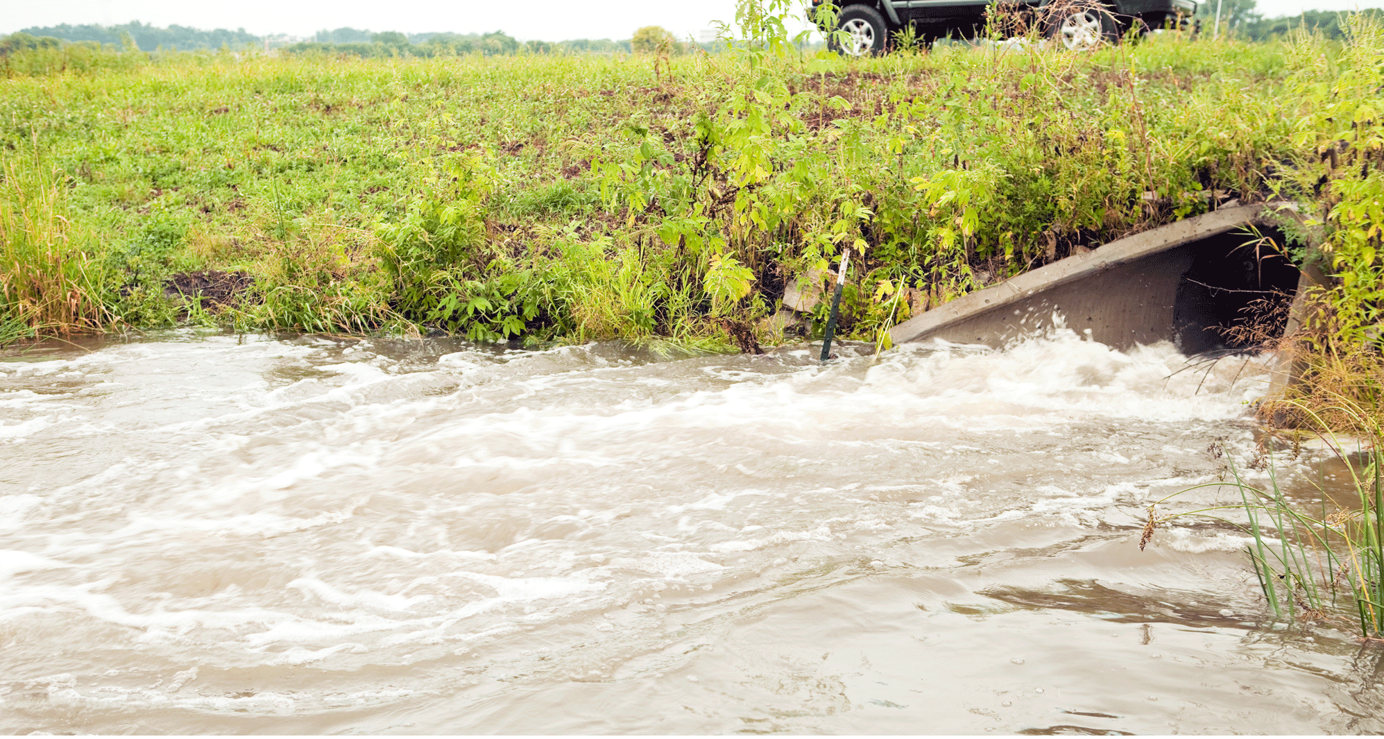
The Municipal Separate Storm Sewer System (MS4) program is a critical initiative aimed at reducing the pollutants that enter our water bodies through stormwater runoff. Managed under the Clean Water Act, the MS4 program requires regulated entities, such as cities, counties, universities, and even highway departments, to develop and implement a Stormwater Pollution Prevention Program (SWPPP). This ensures that the quality of water discharged from their systems meets the requirements set forth by the local agencies and the EPA. Organizations need to prepare for MS4 changes and reauthorizations which necessitate both awareness and preparedness from involved stakeholders. Each state reauthorizes their own permits, for example Minnesota’s expire in 2025 and Oklahoma’s are set to expire in 2026.
MS4 programs will likely see several pivotal updates designed to enhance its effectiveness and expand their scope. Those changes may include:
- Reauthorization of NPDES MS4 permits
- New rules and requirements
- More audits conducted by the MPCA to ensure compliance with the current MS4 permit
- Annual Reporting
- Increased emphasis on TSS, TMDL, and Waste Load Allocation
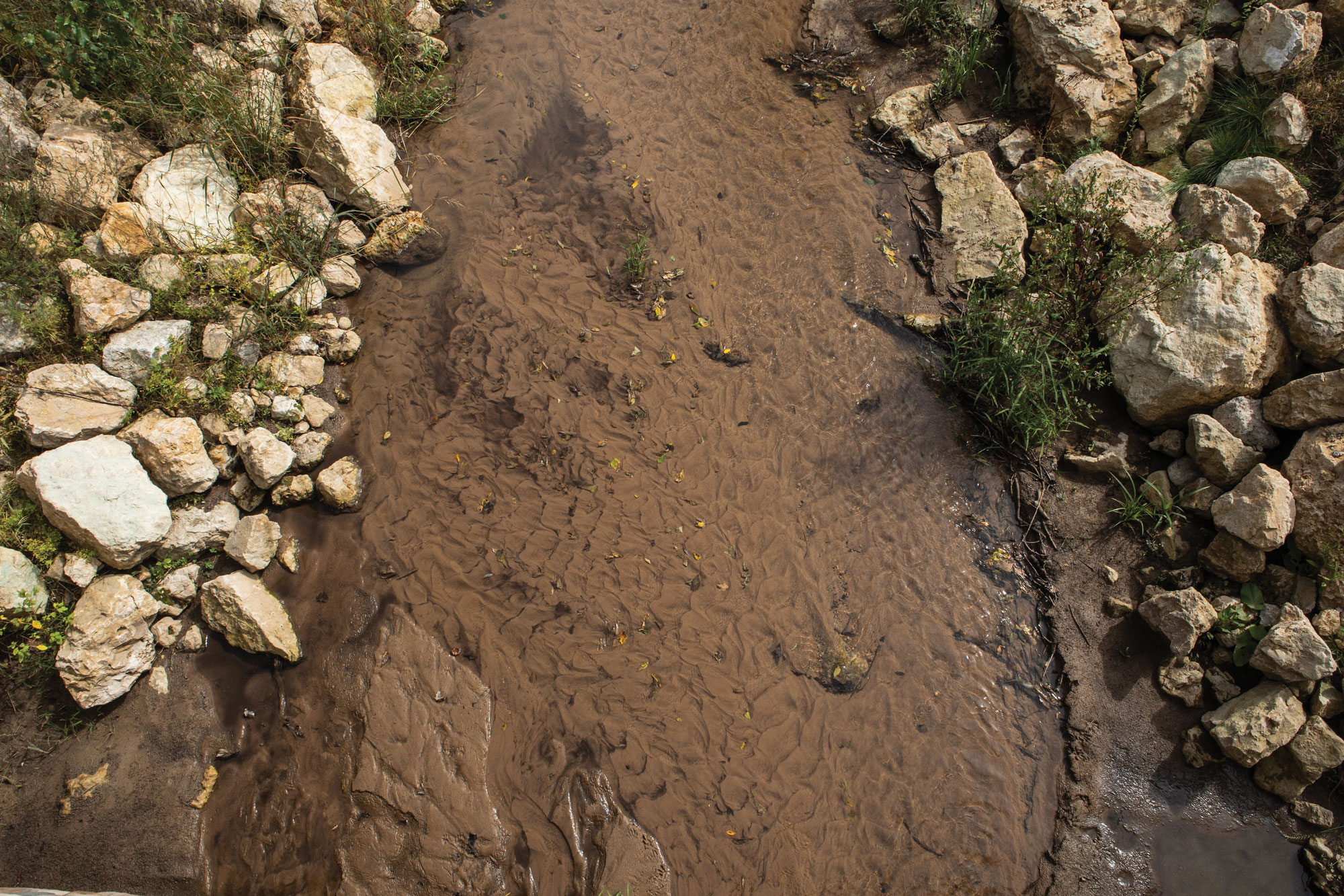
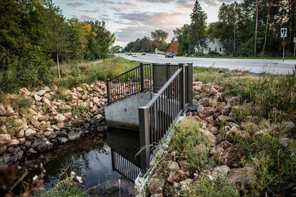
- Increased emphasis on the education and incorporation of green infrastructure solutions, such as rain gardens and permeable pavements, which help mitigate stormwater impacts.
These changes underscore the program’s commitment to leveraging sustainable practices to protect our water resources better.
To prepare for these impending changes, municipalities and other regulated entities must take proactive steps. Firstly, reviewing and updating current Stormwater Pollution Prevention Programs to align with the current requirements is crucial. This may involve investing in new technologies for inspection, monitoring and data collection of stormwater infrastructure, as well as training staff to handle more complex reporting and documenting tasks in illicit discharge, construction, and post-construction stormwater management. Secondly, exploring green infrastructure options and integrating them into existing frameworks can provide long-term benefits and compliance with the 2025 updates. Engagement with community stakeholders and public education campaigns will also be essential to ensure widespread understanding and support for these initiatives.
WSB stands ready to assist entities in navigating these changes, offering comprehensive services ranging from full management of MS4 programs to targeted support for specific components. With our expertise in stormwater management and green infrastructure, we can help you assess your current systems, identify areas for improvement, implement solutions that meet the current and future requirements, and help perform self-audits of current MS4 programs. Our team is equipped to handle everything from initial development and management to ongoing construction sites, illicit discharge, facility inspections, and maintenance and reporting, ensuring a seamless transition to the new NPDES MS4 Permit.
In conclusion, changes to the MS4 program represent a significant step forward in protecting our water resources. By preparing now and leveraging the expertise of partners like WSB, municipalities, counties, state departments and other stakeholders can successfully adapt and thrive under the new requirements. Together, we can ensure the continued health and sustainability of our water bodies for future generations.
Treasure is an environmental compliance specialist at WSB. Her background includes water resources engineering, construction site and MS4 permitting, SWPPP design and inspection, and MS4 program development and implementation. Her passion for MS4 coupled with her background in engineering brings a level of engagement, creativity, training, and unique skills to MS4 program development and management.