THE CASE FOR PROTECTING AND ENHANCING FRESHWATER INFRASTRUCTURE.
By Luke Lunde, Professional Soil Scientist and Amy Anderson, Project Engineer, WSB
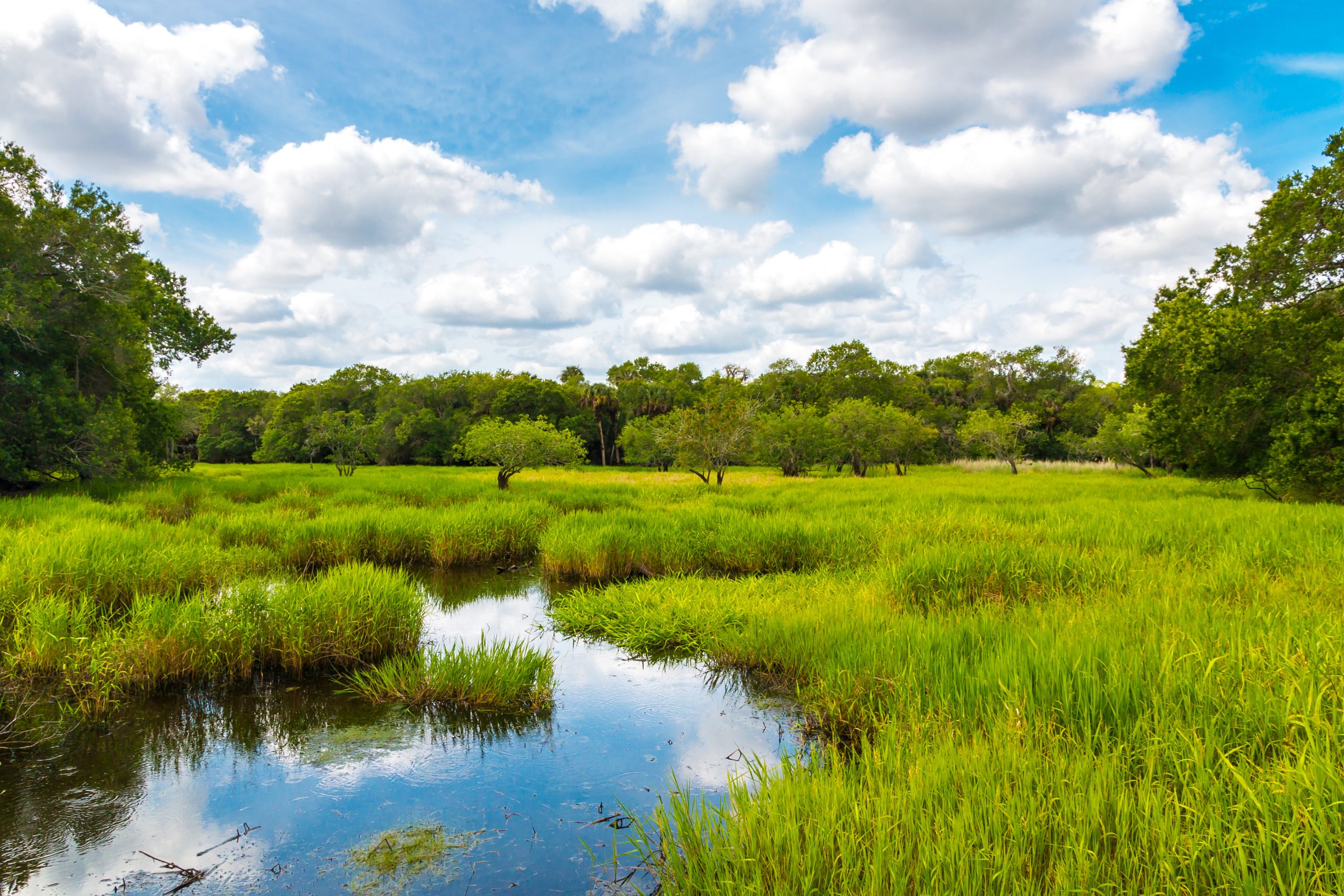
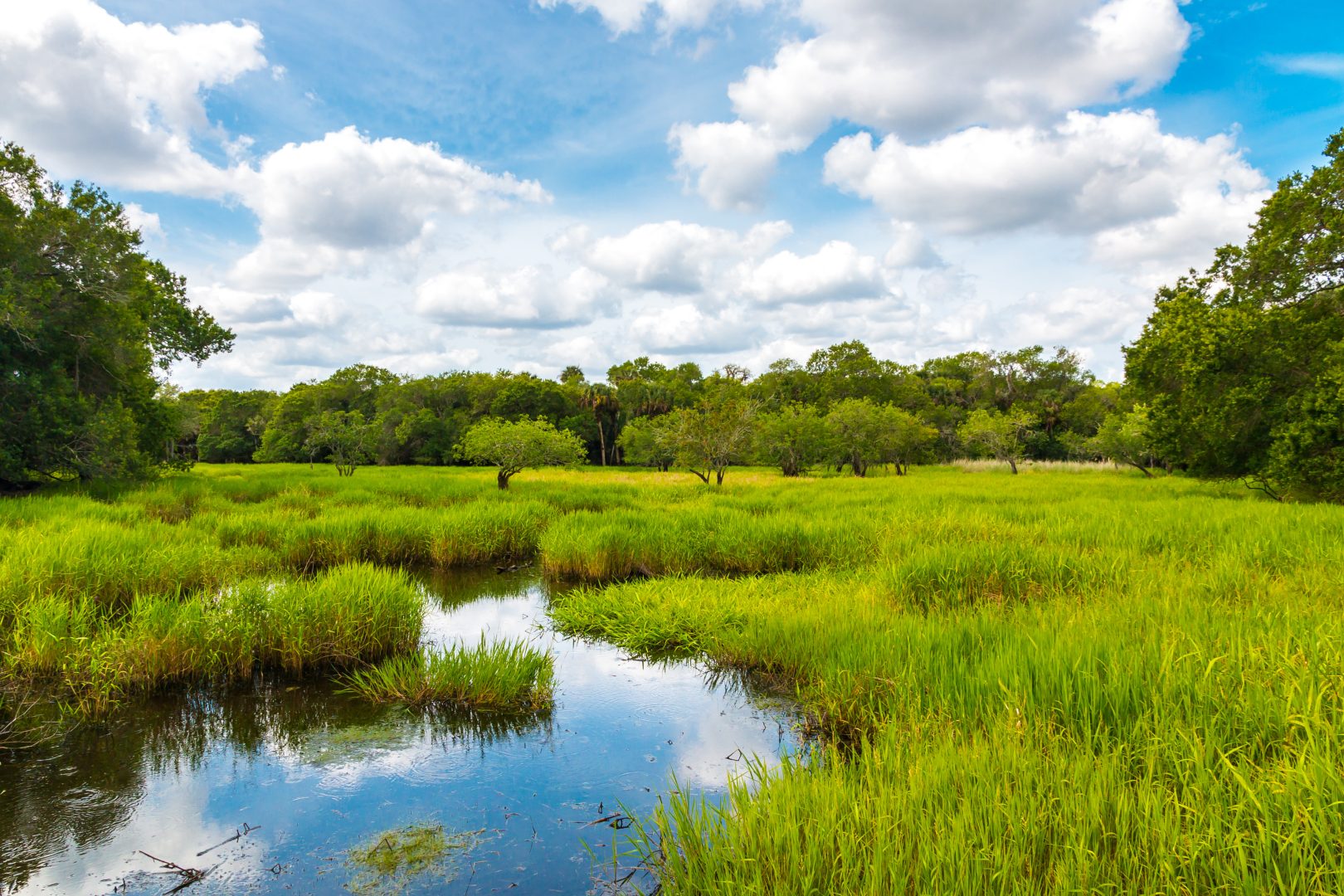
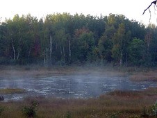
Rivers and streams are a dynamic mixture of water, sediment, aquatic organisms and riparian vegetation. The form of rivers and streams change over time as erosion, accumulation and conveyance of sediment occurs.
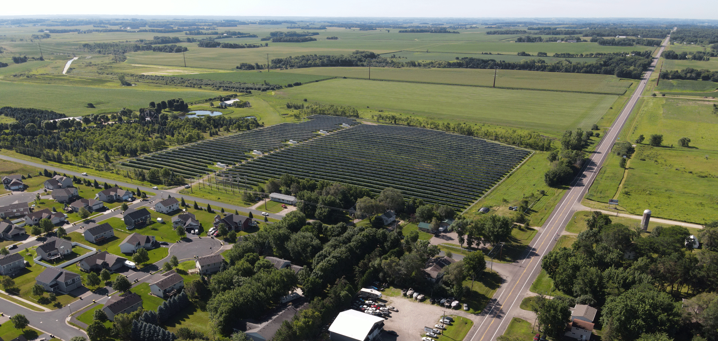
Rural and urban surface water runoff and pollution make rivers and streams among the most degraded ecosystems, leading to impaired water quality, biological condition and aquatic habitat. Restoration involves returning a stream or river to a natural shape and condition, so it is well suited to convey water and sediment supply from the watershed.
Restoration projects take many forms and encompass many goals, but three of the most common are to improve water quality, mitigate habitat loss to protect fish and wildlife, and increase the public’s ability to use the channel for fishing and other recreational activities.
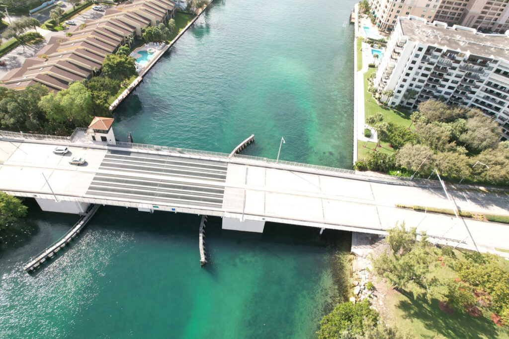
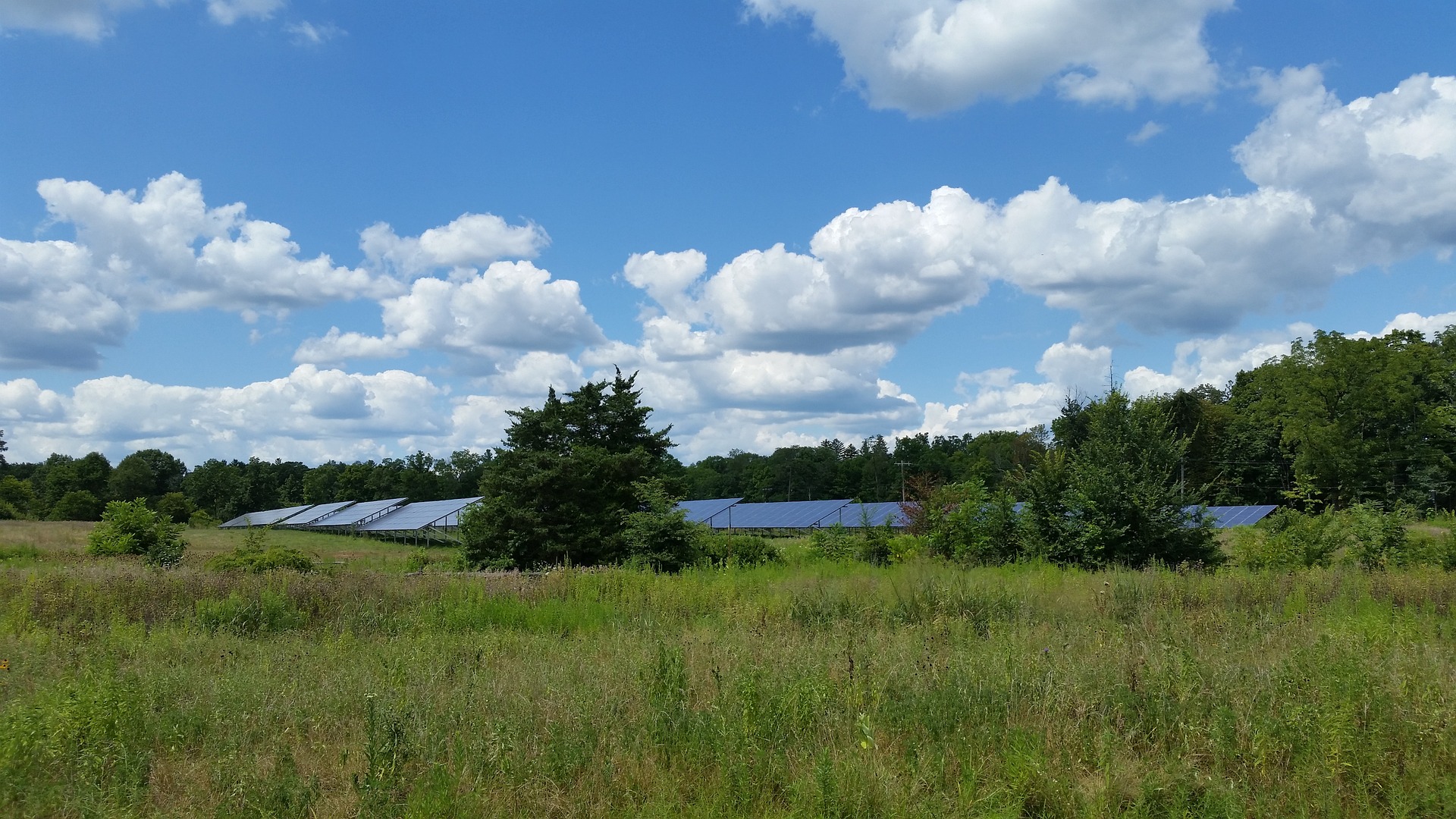
Along the way, people access rivers and streams as a means of transportation, hydroelectric energy, recreation and more. We rely heavily on rivers and streams as a water source. That’s why keeping them healthy is so important through watershed protection and restoration.
An added benefit of protection and restoration is that it contributes to sustainability. Rivers and streams provide spaces for water to flow in the event of severe weather like a flood. Communities that have well-maintained channels that have connections to its floodplain have built resiliency into their infrastructure systems so they’re more prepared when faced with extreme weather events.
We work closely with our clients on restoration projects that result in an improved habitat for people, animals and fish populations not only at a project site, but further downstream as well. When the protection and enhancement of water quality is considered as part of a watershed approach or a community’s larger infrastructure planning, the benefits are numerous.
IMPROVE WATER QUALITY

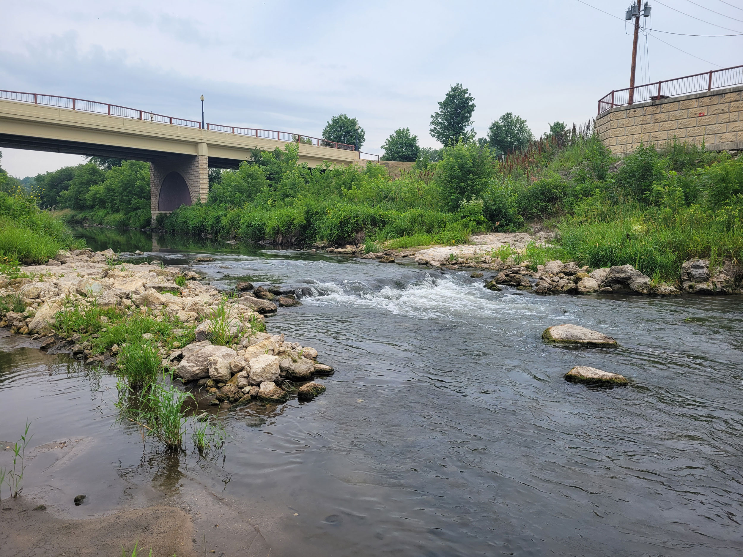
Rivers and streams are important public resources, and the quality of the water in them may determine how they can be used. Many areas along rivers and streams have highly erodible banks. Erosion causes nutrient loading to the river or stream, and when these nutrients are transported downstream, they impact water quality throughout the entire system.
When we improve water quality, we reduce loss of riparian habitat and protect aquatic wildlife living in and around rivers and streams, including fish, insects and plants. Taking actionable steps towards improvement results in an increase of aquatic wildlife populations or species diversity. Improving water quality and habitat make an already valued water resource even more valuable to the public.
MITIGATE HABITAT LOSS

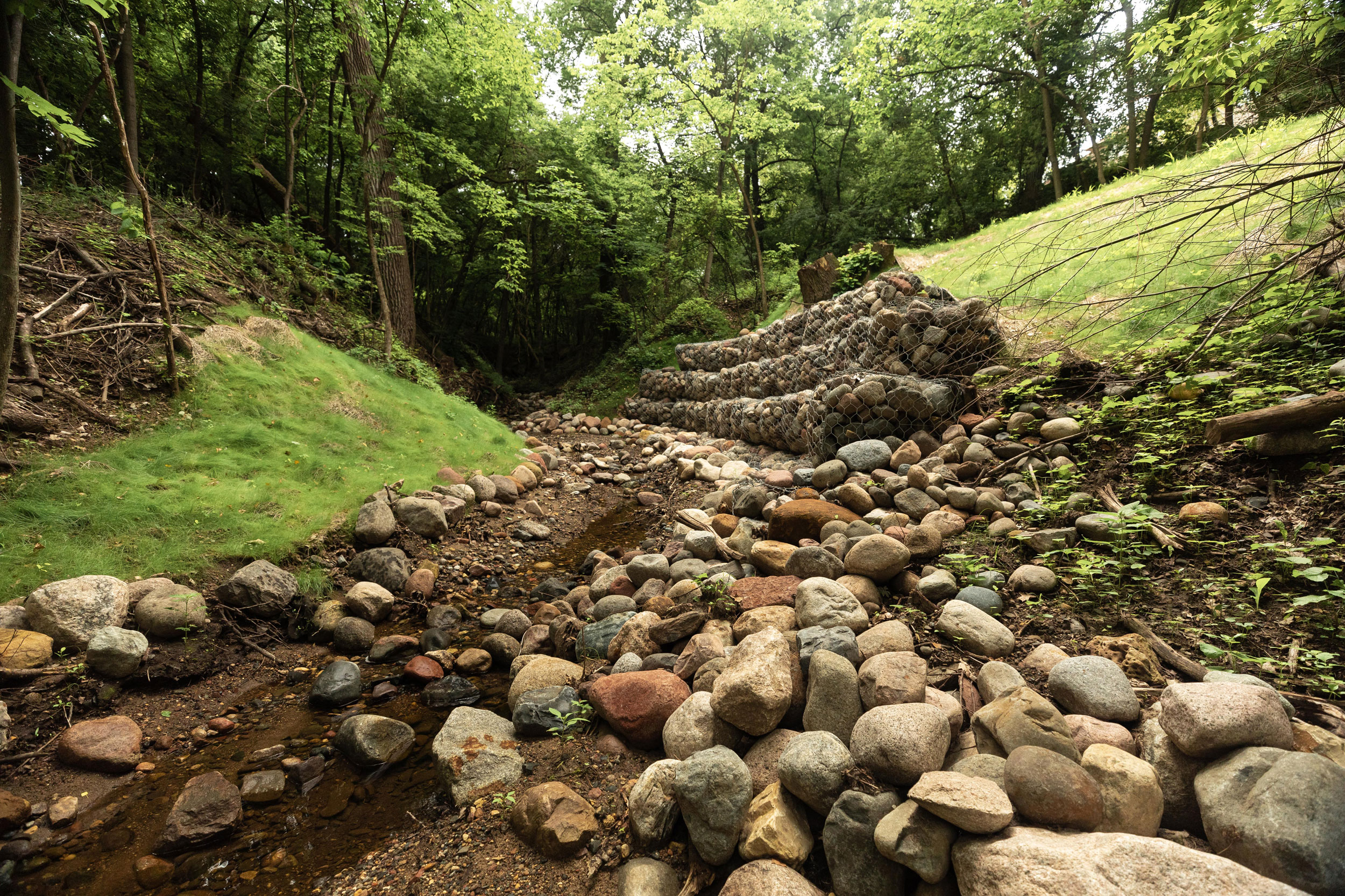
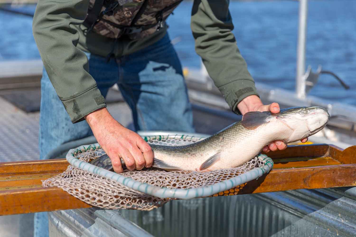
Rivers and streams are critical habitat for wildlife, both in and out of the water. Erosion can make riverbanks unstable and decrease water quality and clarity. Stabilizing stream banks addresses these issues. During a recent restoration of the North Fork of the Zumbro River in Wabasha County, MN, we installed a toe wood structure along the riverbank to create an in-stream habitat for both fish and the aquatic insects to improve access to their food source. The toe wood structure will help maintain and enhance game fish populations and stabilize eroded streambanks.
INCREASE ACCESSIBILITY

Wildlife and people must be able to access rivers and streams to make use of them. By addressing water quality and mitigating habitat loss, accessibility is improved. Now, wildlife can utilize a restored, sustainable aquatic resource while at the same time improving public use for fishing, hunting, swimming and other recreational activities.
Luke Lunde
Luke is a Minnesota Professional Soil Scientist in WSB’s Environmental Natural Resources Group, and he has over nineteen years of natural resource and environmental review experience. Luke’s experience includes soil survey mapping, geologic hazard assessments, karst feature mapping and mitigation plans, wetland delineation, wetland banking, wetland mitigation, habitat restoration, invasive species management, grant writing, erosion control compliance site management, habitat restoration, invasive species management, natural resource planning, environmental permitting and compliance, for numerous projects throughout the Midwest.
Amy Anderson
Amy has over nine years of professional experience in water resources engineering, specializing in stream restoration and watershed management. Amy’s experience in stream restoration spans the project cycle, from surveying and design through construction observation and post-project monitoring. Amy has been the primary author or co-author of Surface Water Management Plans for two separate municipalities (West St. Paul and North St. Paul) and one watershed district (Valley Branch Watershed District) in the metro area and has presented to citizen’s groups, municipal committees, and city councils on surface water management and planning.