Projects
Carver County – Slope Vulnerability Assessment Program
Location:
Carver County, MN
Expertise:
Energy, Technology
Services:
Managed Services
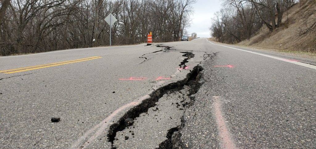
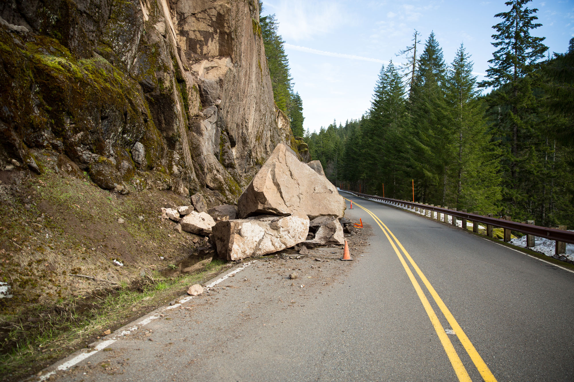
We partnered with Carver County to develop a slope failure risk assessment for Carver County. Our staff utilized a suite of GIS-based models to determine the likelihood that slope failures will have a negative impact on the county infrastructure. Through this model, we provided preliminary risk rankings and recommended locations for field assessments.
The Geographic Information Systems (GIS) slope failure model objectively identified areas at risk, prioritized the ones most at risk and identified the locations recommended for further field assessment.
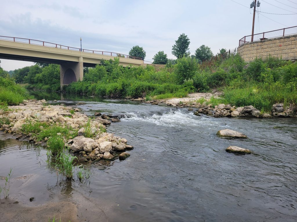
Model results showed that the areas within the county most at risk occurred along the Minnesota River Valley in the southern portion of the county and along several other slopes in the north. We plan to continue working with Carver County to conduct the next phase of this project – field verification. The field assessments will confirm the preliminary risk rankings identified by the model and include preliminary slope mitigation and repair solutions.