Projects
Pipeline Desktop Geohazard Risk Assessment Program

Location:
Louisiana
Expertise:
Energy, Technology
Services:
Managed Services
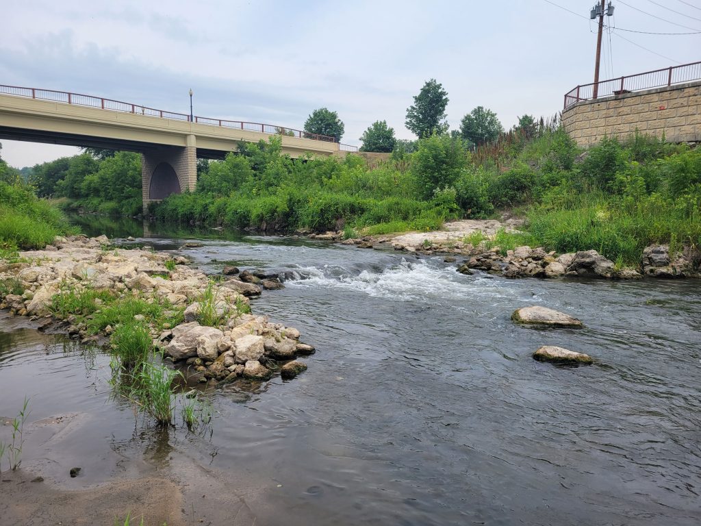
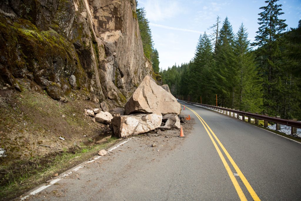
Our Geohazards Team assessed 600 miles of a natural gas transmission pipeline in Louisiana for geohazard risks pursuant to 192 guidelines. Subsidence, seismic, ground movement, frost action, and water proximity were modeled to identify risks and assign preliminary risk rankings. We provided recommendations for future actions, including locations for field assessment.
The project included phase one of a full geohazard risk program — desktop analysis. Desktop analysis included the design and implementation of a series of geohazard models developed by us to identify hazards. The models allow for an objective, systematic, large scale study conducted at high spatial resolution.
We implemented a series of high-resolution Geographic Information System (GIS) models to objectively identify risk and prioritize sites for field confirmation. The models highlighted areas at risk for the geohazards described above. Model results show that hazards range from catastrophic occurrences such as landslides to gradual occurrences such as subsidence, the lowering of ground elevation exacerbated in coastal delta environments. The next steps are to conduct field assessments of the sites with the highest risk rankings.