August 14, 2023
By Kim Lindquist, Director of Community Planning and Economic Development, WSB
Thoughtful, comprehensive and smart community development takes planning. Communities need to be socially and economically resilient, as well as attract and advance projects that benefit residents, local businesses, and the community as a whole.
Data and technology are key to twenty-first century community development, and adapting to and adopting smart strategies and tools can help give communities the edge in building the city of tomorrow.
Here are some ways that cities are getting smart about community development.
Smart tools better promote cities and project opportunities to developers.
City leaders know that their community is the best place to live, work, and grow a business. But how is that easily communicated to the right audiences to attract development and investment? That is where smart tools come into play.
More than ever before, people expect to have information at their fingertips. For local leaders, that means ensuring that the community’s online presence is accessible and does a good job telling the story about why your community matters.
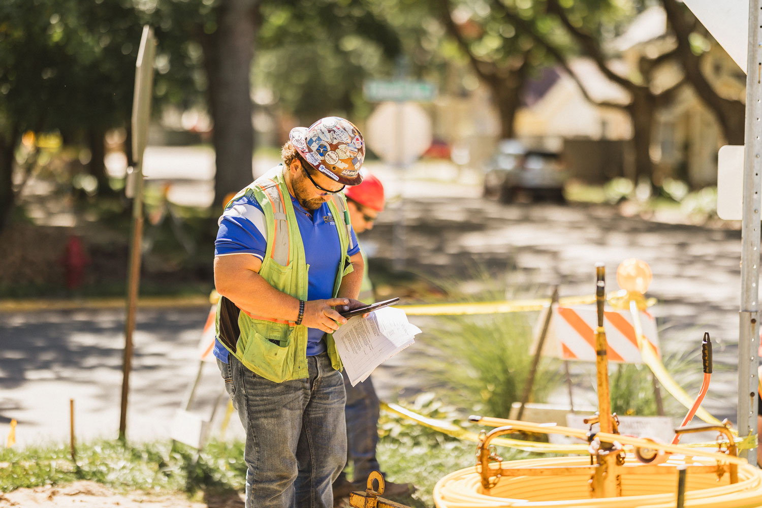
This also means having a place where developers can easily find what parcels of land are ready and available for development. Critical data for developer decision-making includes not only spaces that appear “shovel-ready,” but also what transportation systems are near a property, what utilities serve the area, and more.
Some utilities like Xcel Energy and the State of Minnesota allow developers to search their databases online to find development property that meets their individual needs. Being aware of, and partnering with these services, can also ensure cities are promoting what is available and ready for investment.
Use data to make communities more resilient.
Resiliency is key to community development, and a vital part of resiliency is having a diversified tax base with a good mix of residential, commercial, and industrial properties. This is also important to help communities withstand economic downturns.
When crafting comprehensive plans, building strategies to attract new development, and planning for growth, data is more important than ever. Most cities have a trove of data available and using that information in smart ways to guide decision-making helps ensure community durability and resiliency.
Smart cities empower residents to engage and make communities more accessible.
Whether it’s a resident easily pulling up data on zoning and permitting to build a deck extension on their home or participating in public meetings on a community’s comprehensive plan, technology is making it easier for residents to engage with and be invested in the future of their city.
As cities plan new neighborhoods or projects for example, they can foster community buy-in by using virtual tools to illustrate what a completed project will look like. Advances in surveying and mapping also allow for more instantaneous engagement and better demonstrate to residents and developers where there are meaningful opportunities for growth.
Smart cities meet people where they are, and technology makes information easily available and accessible.
How WSB Can Help
WSB’s team of experts help local leaders with community planning, zoning applications, permitting, developing and executing comprehensive plans, and ensuring community resiliency. We work with cities every day to build smart tools and tactics into their community development strategies.
Kim is a planning professional with over 30 years of experience overseeing a variety of complex planning projects. She has worked in high growth communities with developers and the public on entitlements for residential development and attracting business to the city.
[email protected] | 763.287.8303