Month: April 2025
The American Public Works Association – Minnesota Chapter (APWA-MN) recently announced that Monica Heil, WSB’s Vice President of Municipal Services, will serve as chapter President beginning in January 2023.

For the past 12+ years, Monica has been actively involved with the APWA-MN Chapter serving as the Director-Consultant (2018-2019), Chair of the Education & Training Committee (2014-2020), Chair of the Chapter’s Underground Utilities Construction Inspector School (UUCIS) Subcommittee (2012-2019), and a member of the 2016 PWX Technical Tour Planning Committee (2015-2016). Monica served as the Secretary/Treasurer of APWA-MN in 2021 and served as the Vice President and Co-Chair of the APWA-MN Conference Planning Committee in 2022.
“I am so grateful for the opportunity to serve as the 2023 President of APWA-MN. It’s an honor to be part of a profession that works tirelessly to maintain the quality of life for residents across the State of Minnesota,” said Heil. “I look forward to continued opportunities to support those who operate, improve and maintain public works and infrastructure.”
Heil brings nearly 20 years of experience serving Minnesota communities. In her role at WSB, she leads the delivery of Municipal Services in the Upper Midwest market, developing technical expertise, improving project management processes and creating efficiency among teams.
Formed in 1946, APWA-MN currently includes over 1,000 public works professionals throughout the state of Minnesota. Members represent both the public and private industry and all work together to advance the public works profession. The chapter’s mission is to advance the theory and practice of the design, construction, maintenance, administration, and operation of public works facilities and services. Learn more here: American Public Works Association – MN Chapter :: Who We Are (apwa-mn.org)
January 11, 2023
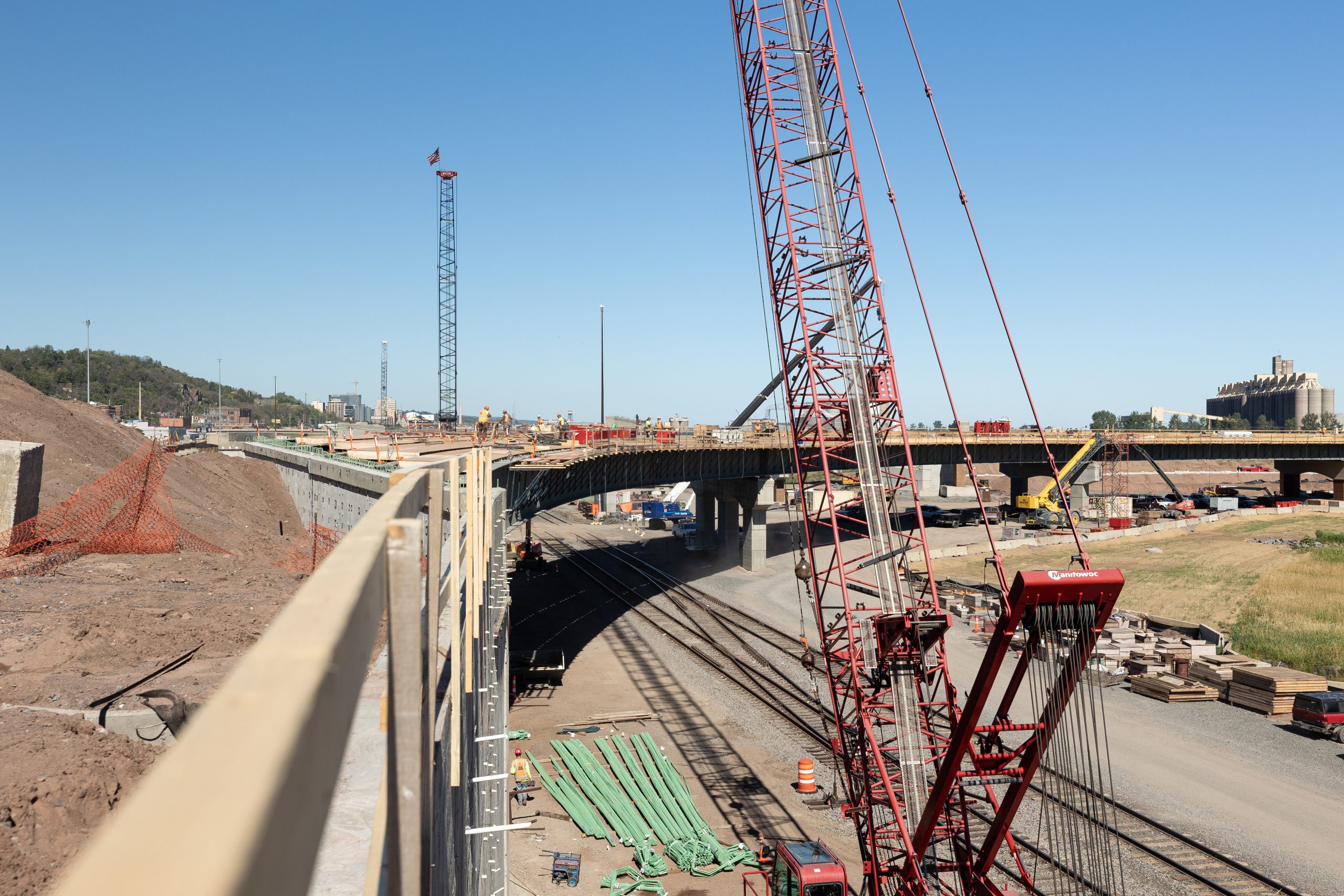
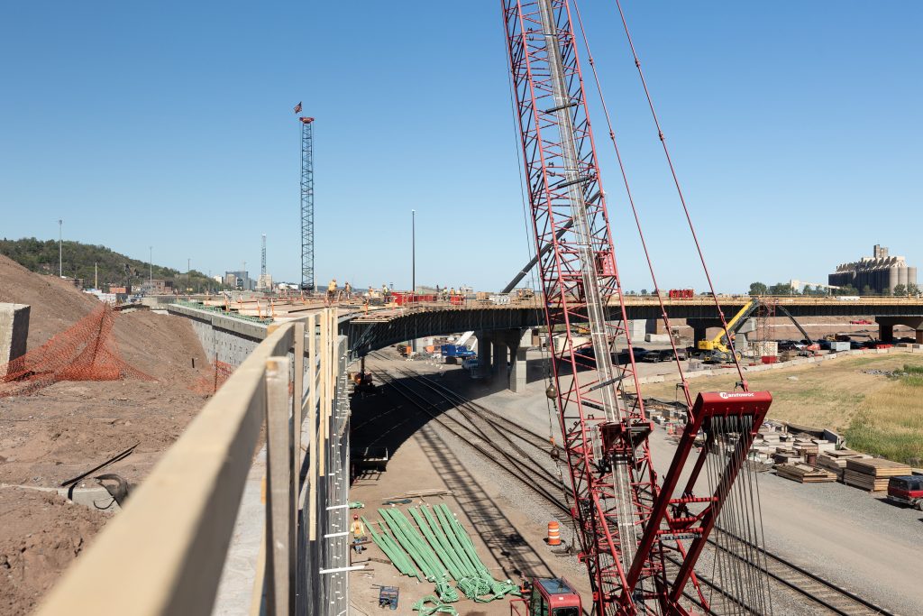
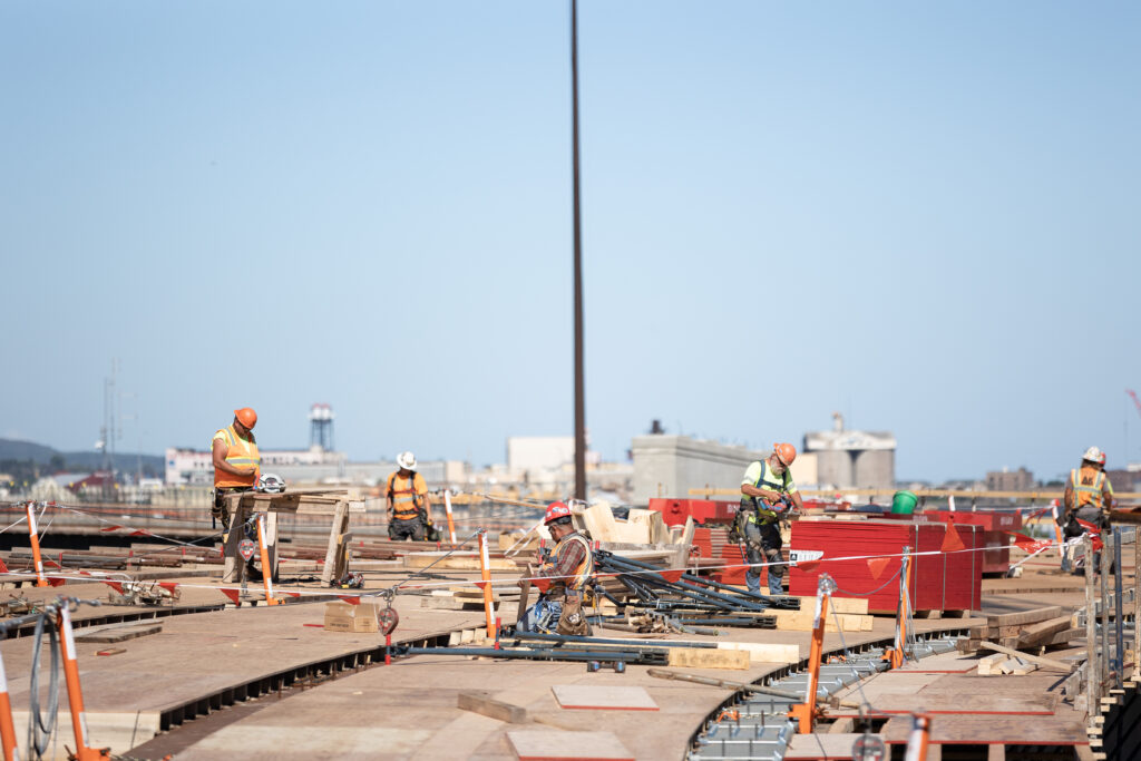
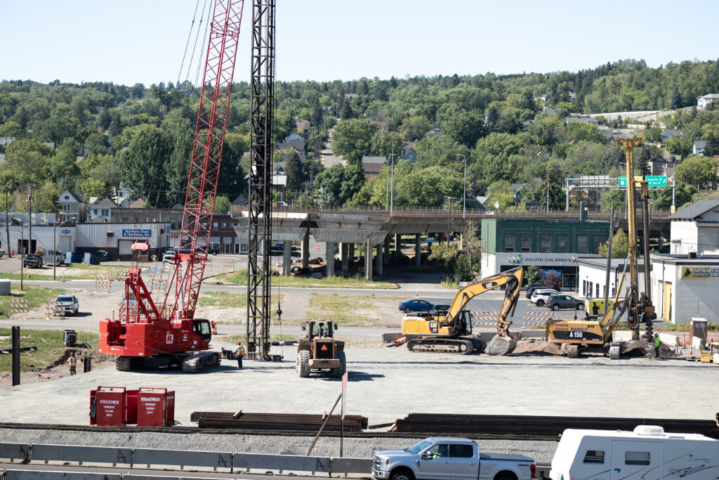
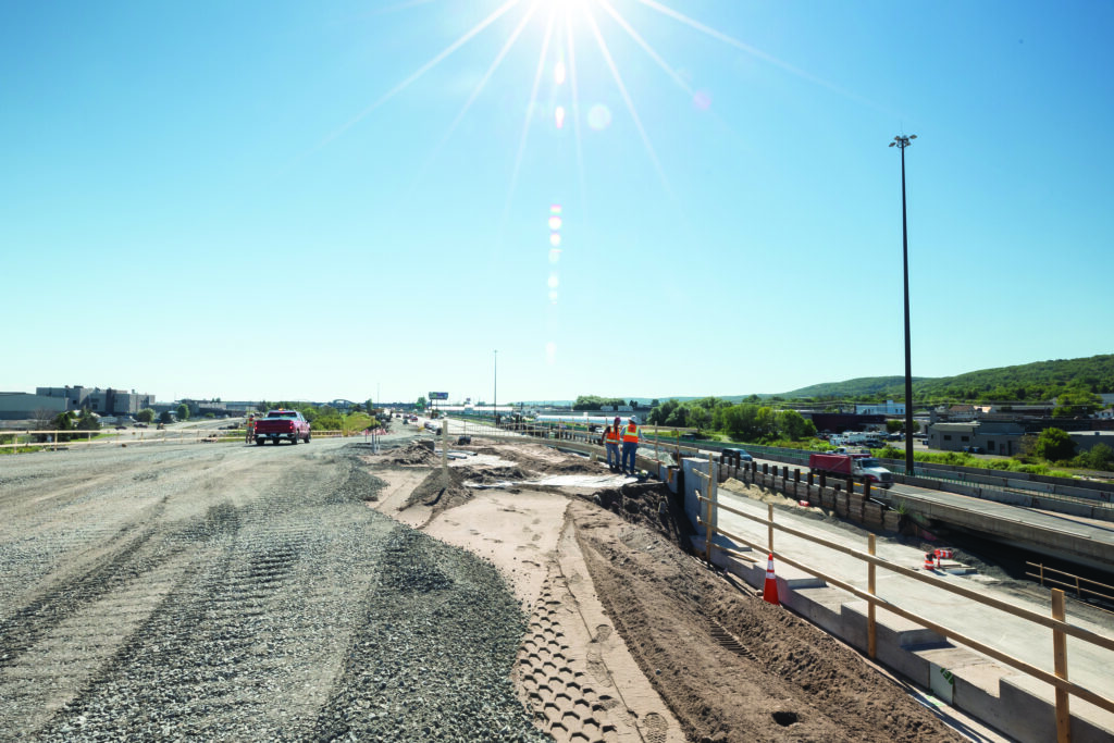
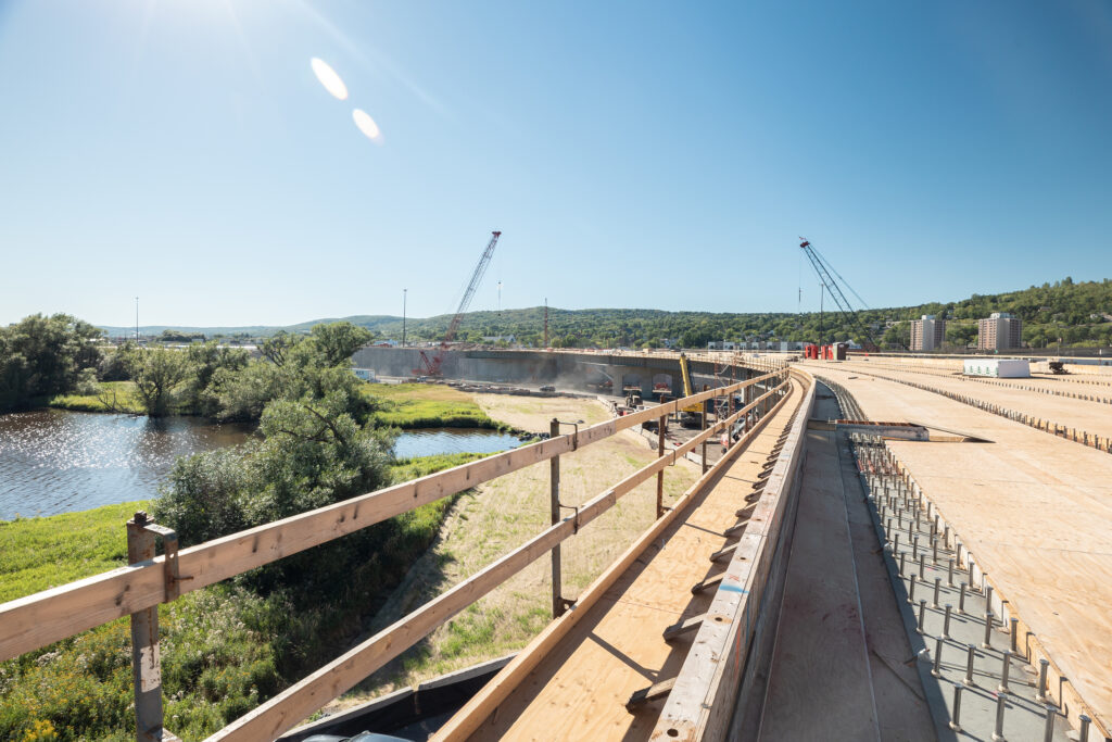
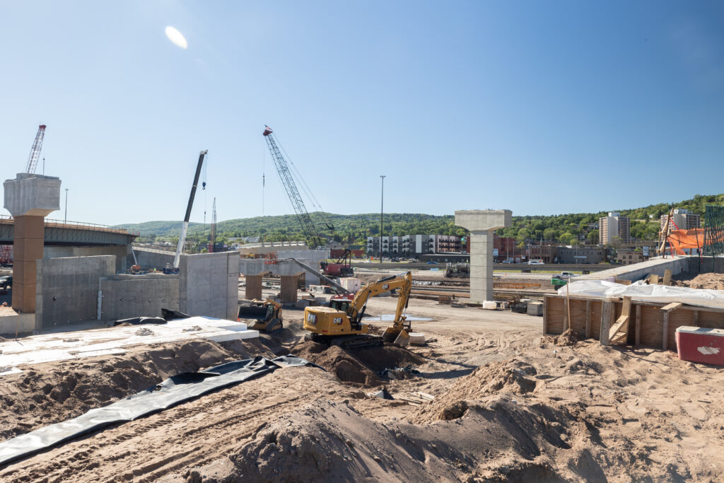
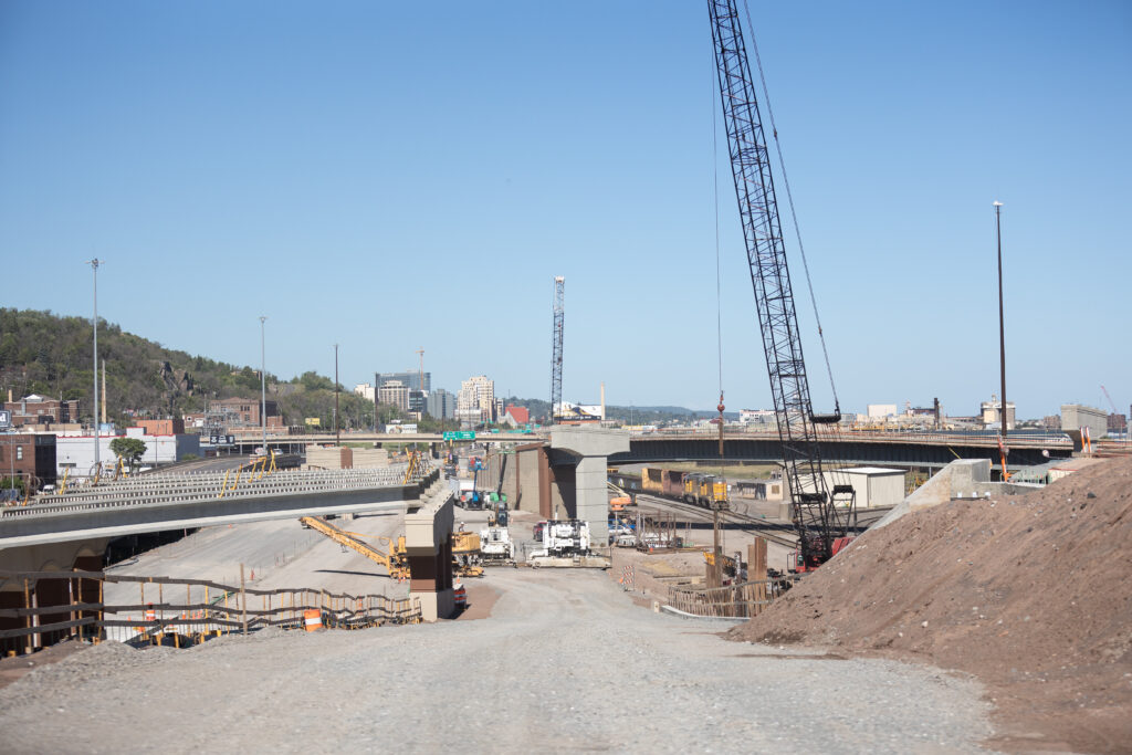
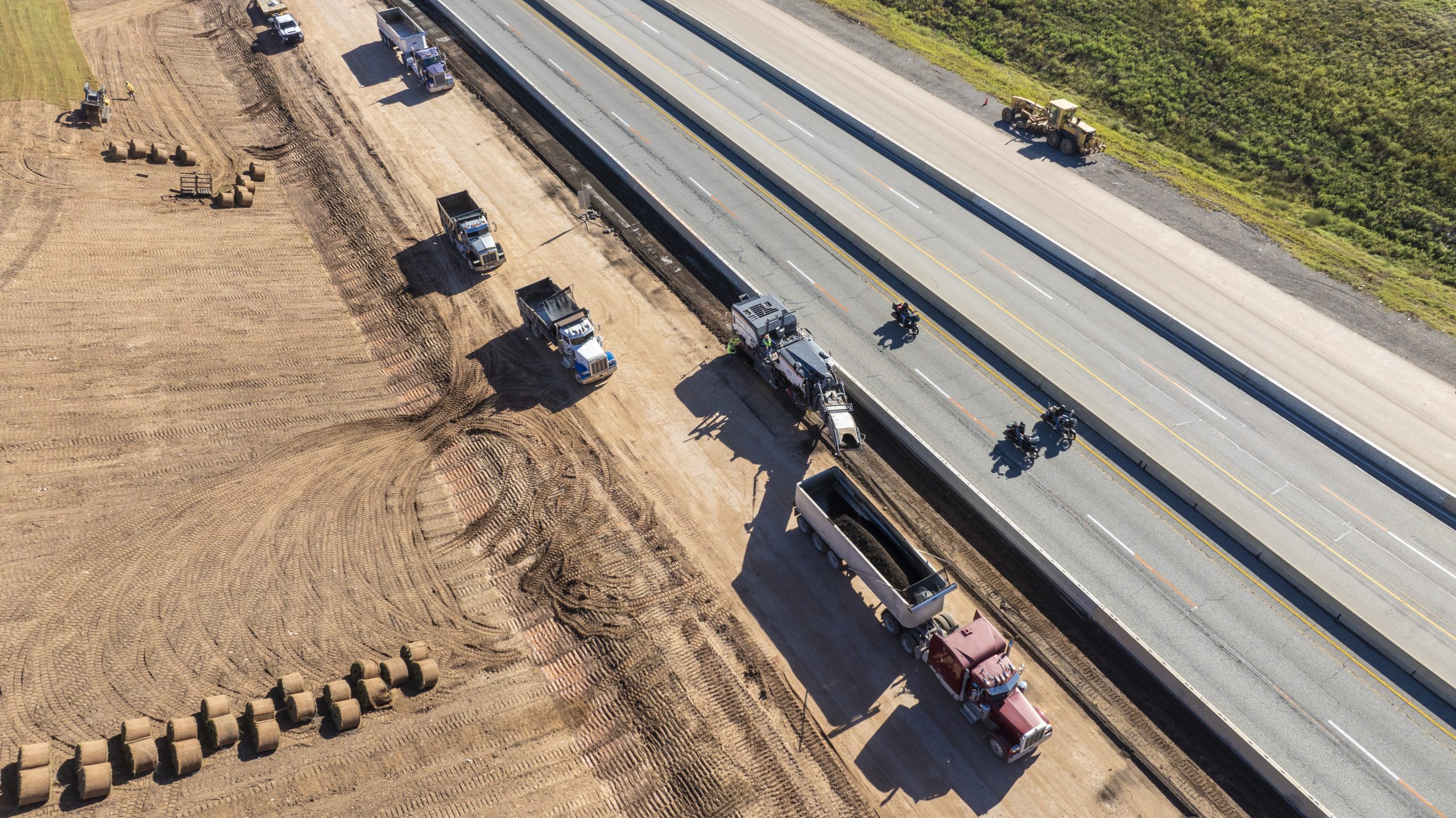
Late last fall, Congress passed the bipartisan Infrastructure Investment and Jobs Act (IIJA), which infused an astounding $1.2 trillion into our nation’s infrastructure. The package, which includes $550 billion in new federal spending over the next five years, gave local and state governments significant opportunities to fund infrastructure improvements over the next several years, and many communities have already taken advantage of this influx of funding.
Transportation, clean energy, clean water, broadband expansion, and more, gave communities across the country an unprecedented opportunity to invest in projects that will have a meaningful impact on the future for residents, businesses, and the environment.
How Have Communities Benefited from this Funding?
Every community is different, and every community’s needs are different, but here are some of the top ways that local leaders, planners, and governments have benefited from IIJA.
Advancing Bigger Projects Sooner & Removing Financial Roadblocks
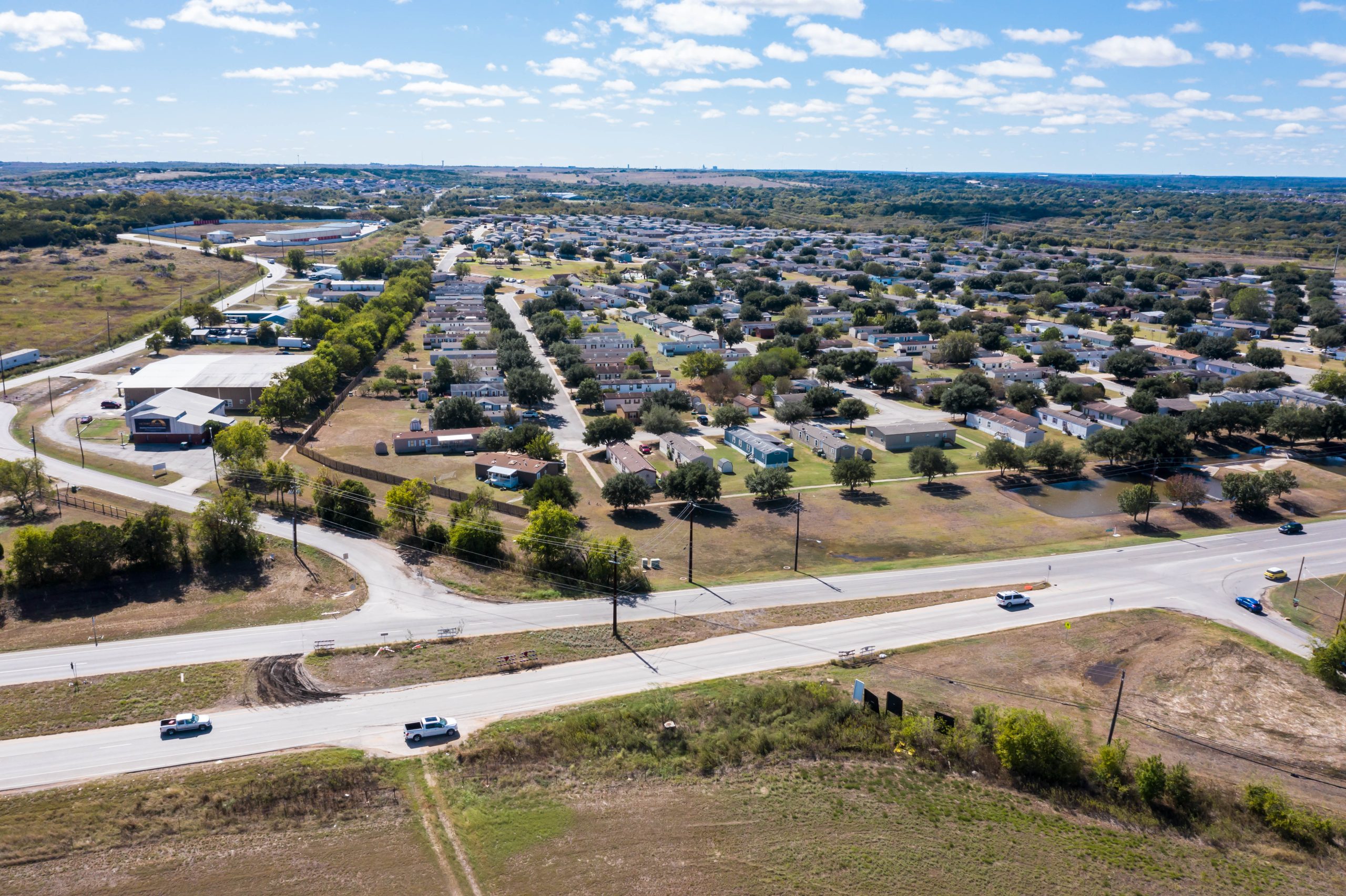
Whether a large metropolitan city or a small rural town, every community has a list of needed infrastructure projects, but funding and resources are often limited. Communities must prioritize, and sometimes put larger projects on the back burner due to budget constraints.
TheIIJA is helping to change that mindset for many communities, giving leaders a greater opportunity to think big. Whether it’s getting on a project funding priority list, putting forward a feasibility plan, or thinking more comprehensively about the environment, transportation, or other community infrastructure needs, the federal infrastructure law has provided meaningful opportunities to secure funding for projects that may have previously been out of reach.
Viewing Projects Through an Equity Lens & Involving More Voices in Community Planning
Equity is a major component of IIJA, creating a real opportunity for communities to invest in projects that benefit traditionally underserved communities, as well as advance sizable projects that create a better community for all. Including equity in infrastructure project planning not only enhances local communities and benefits residents, but it also gives projects a competitive edge in securing dollars from the federal funding package.
Many communities are viewing their infrastructure projects through an equity lens and incorporating more voices as they plan for the future.
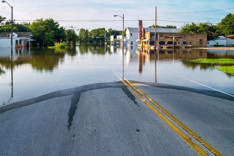
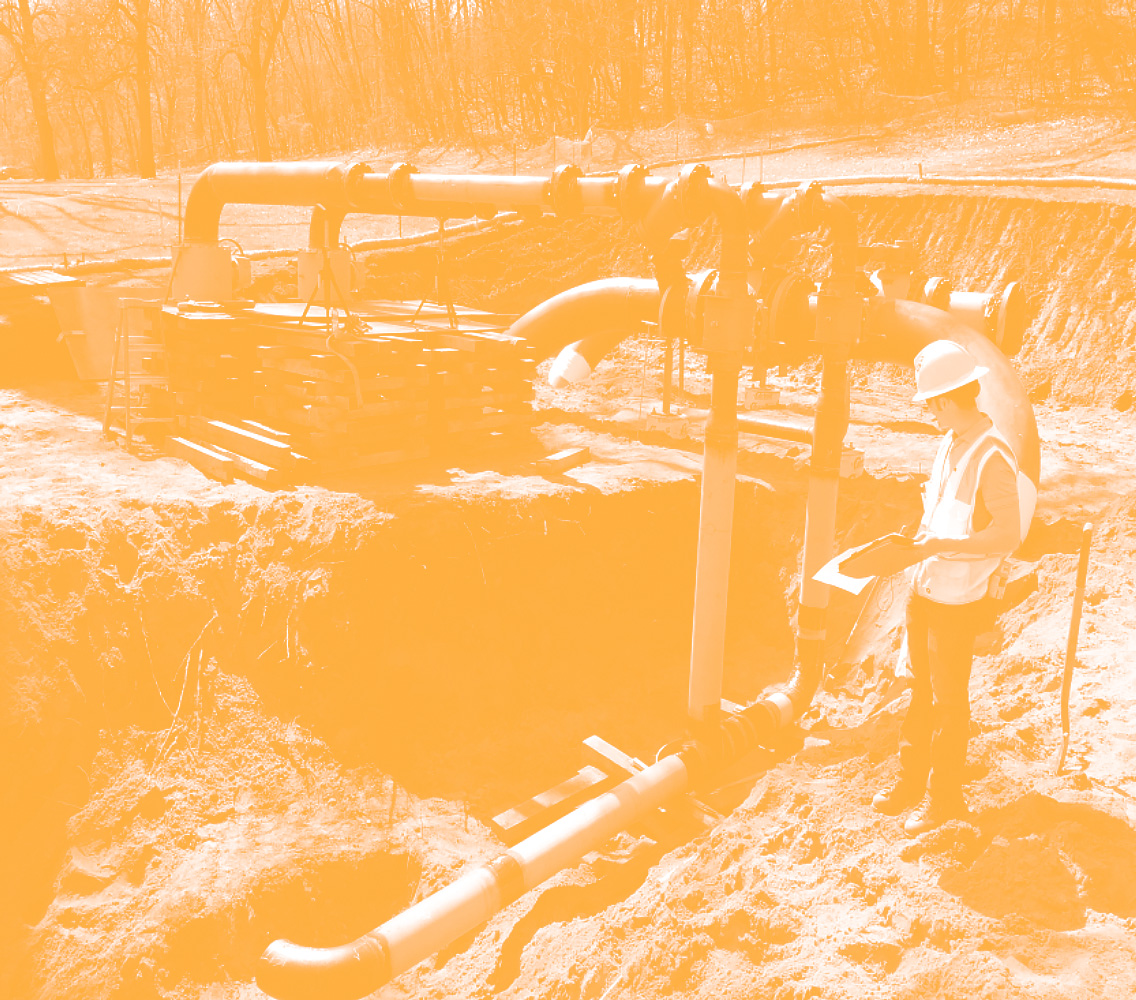
Addressing Climate Change & Infrastructure Resiliency
Our climate is changing, and “once-in-a-century” storms no longer occur just once in a century. Higher temperatures, drought, more intense precipitation, wildfires, flooding, and changing ecosystems are all issues that impact communities’ infrastructure planning. Building greater resiliency in projects and planning for more extreme weather and climate events is critical and recognized within the IIJA funding.
Green infrastructure, innovative stormwater solutions, water reuse systems, native landscaping, and more can help mitigate risk and better protect populations, native species, and habitats.
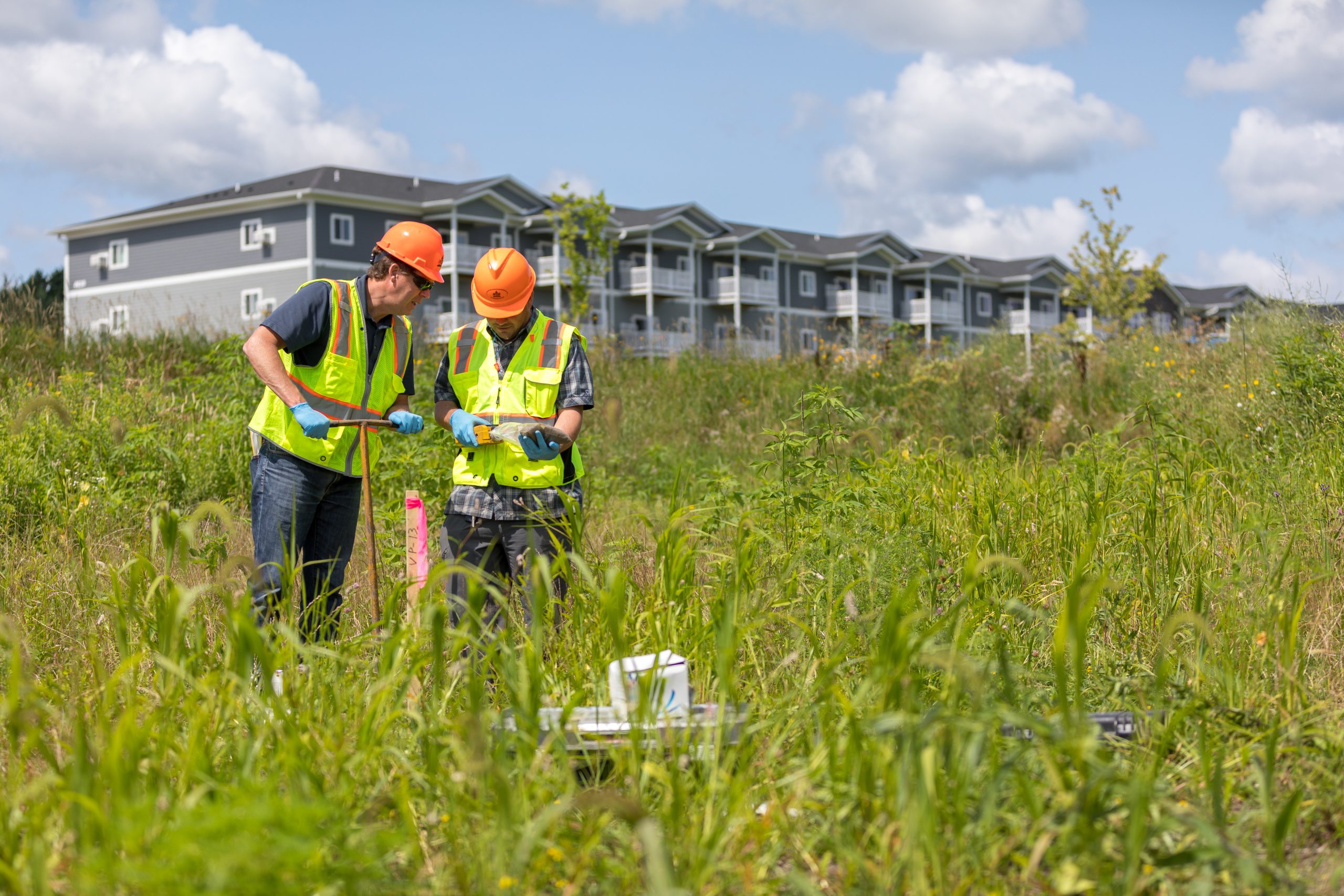
Developing Brownfield Sites
Brownfields – previously developed sites that are no longer in use – are underutilized space that present real opportunities for economic, social, and environmental revitalization. However, they are often costly to redevelop. With more than $1.5 billion allocated to brownfields in the infrastructure package, many communities are taking advantage of the opportunity to move forward with brownfield projects, and expand their city’s tax base, grow jobs, build housing, and develop sites in ways that benefit residents and the community at large.
Building a More Sustainable Future
Sustainability is a fundamental component to infrastructure, and IIJA allows communities to invest in forward-looking projects that will have long term, positive environmental and social impacts. From electric vehicle charging stations and energy storage to ecological restoration, greater investment in sustainability is allowing local leaders to make bigger, more thoughtful investments that will help address climate change and resiliency.
Navigating a once-in-a-generation opportunity
Our team of funding experts help communities navigate grant applications, data gathering, project design and engineering, sustainability planning, stakeholder engagement, and more. IIJA is a once-in-a-generation infrastructure investment opportunity, and communities of all sizes can and should tap into the extraordinary opportunity for infrastructure improvement and investment.
January 11, 2023
The Foundation of Digital Delivery
Geospatial data is information that involves large sets of data gathered from a variety of diverse sources based on location. In the Architecture, Engineering and Construction (AEC) Industry, we depend on geospatial data to build and design infrastructure. Strong data is the foundation of any digital delivery project. Capturing geospatial data for infrastructure projects is the first step in the digital delivery workflow.
The five ways we gather thousands of accurate data points to improve design methods and increase speed and accuracy.
Reality Capture for 4D / 5D
High resolution drones capture thousands of photos that overlap at different angles to create a geospatially accurate reality capture of an entire site. The reality capture contains accurate lengths, depths, and heights. To increase accuracy, the geospatial data is tied to survey ground control points. Once the data is processed, it can be input into many different design software, serving as the first step in digital delivery.
Interior/Indoor Scanning
Using a tripod and LIDAR scanner, we collect thousands of data points. The scanner is moved around to cover the entire area, capturing points along the way, and is then uploaded into BIM software. This information can be used to create a robust asset management system.
WSB 360 – Google Street View
WSB 360º captures high-resolution 360º imagery that is used to detect and map a variety of assets as they exist today. Google imagery is often missing or out-of-date. By driving a street or an alley, data is gathered within minutes and uploaded to Google Maps and StreetView. This technology is also used to capture, map, and classify road assets including hydrants, signs, power poles, and streetlights.
Traditional Surveying
Traditional surveying is performed by survey crews using tools to make measurements. Some refer to this as the most accurate form of data collection because of the boots on the ground element. There are proven methods of verifying accuracy and conventional survey has been performed for hundreds of years.
Conventional Drone | 2D & 3D Reality Captures
With conventional drone data, we create 2D and 3D high-resolution imagery. This data serves as the foundation for 3D and 2D reality captures. 3D reality captures are developed when elevations are needed for digital design. 2D reality captures are developed when elevation isn’t necessary. In the past, satellite imagery was relied upon, which was often inaccurate and outdated. Through conventional drones, we can document a site accurately, in-depth, and within minutes.
January 12, 2023
By Nate Osterberg, Director of Strategic Growth, WSB
Impacts on the Oil and Gas Industry
According to the Common Ground Alliance (CGA), damages to underground facilities cost $61 billion annually. To protect the public, reduce costs, and incorporate asset management, damage prevention has become a relevant conversation for stakeholders across the construction industry. Advances in technology and the Infrastructure Investment and Jobs Act (IIJA) are spurring more engagement throughout the country.
IIJA Impact
With the passage of IIJA, there is an increase in construction activity including utility, road, and renewable infrastructure. The current demand for utility locators is extraordinary and when coupled with the labor shortage and increasing demand, it is only becoming more challenging. In these circumstances, we rely on technology to guide us. To offset impacts from the labor market we incorporate digital mapping into production locating processes.
Subsurface Utility Engineering (SUE)
SUE is the investigation of buried utilities that identifies conflicts and mitigates risks in the pre-engineering phase of construction. Using survey grade-accuracy with cutting-edge locating and survey equipment, capable of sub-centimeter accuracy, we identify risk and conflicts. Our team captures the location information to digitally map the facilities. When unlocatable utilities are identified, our team of damage prevention specialists approaches the challenge with different means and methods.
Cataloging for the Future
Locating the utility is the first step, but just as important is the data collection. Once a utility is located the information is documented and added to an asset management database. This process is having a major impact on the industry and is assuring accuracy for future locates. Construction plans are evaluated through a digital twin utility map, resulting in cost and time savings and enhanced design data. After decades of stagnant innovation, the industry is advancing quickly because of cutting-edge tools that allow for safer conditions and better planning.
Impact Across an Industry
With hundreds of field staff on active job sites, the collection of highly accurate location data for new and existing facilities is becoming vital to project performance. With minimal impact on budget and a streamlined mapping process, data collection efforts reduce the time it takes to provide facility owners and 811 systems with updated and accurate records.
The Top Drivers in Damage Prevention
- Public Safety
- Infrastructure Act
- 5G initiative
- Increased Damages to Facilities
- Unlocatable and Untoneable Utilities
- Workforce Turnover & Experience

January 12, 2023
By Chad DeMenge, Director of Contract Administration, WSB
Bryon Amo, Senior Engineering Specialist, WSB
Well-maintained, organized infrastructure is vital to safe travel and commerce, including the transportation of materials, goods, and people across the country. The Twin Ports Interchange in Northeastern Minnesota, which connects I-35, I-535, and Hwy 53, needed a significant upgrade to be viable and meet the modern needs of users.
The previous interchange was a series of intertwining and crossing bridges, roads, and traffic signals, serving as the main connection for goods and tourism through the city of Duluth. The original interchange was built between 1969 and 1972, and serves as a vital access point for the port of Duluth, one of the Great Lakes’ major ports.
Alternative Delivery Benefits
Delivered through a CMGC method, the contractor and the Minnesota Department of Transportation (MnDOT) were actively involved from the beginning of design and worked collaboratively to deliver this project. Active participation in early design allowed our team to gain an understanding of the history of the project and the impacts of the unique location and design.
Engineering Ground Improvements
When the Interstate and interchange were originally built, the engineers were challenged by poor soils. The project area was formerly part of St. Louis Bay and had been filled by various industrial and railroad activities for over 100 years. The solution was to build the highway on low-level bridges on piers, allowing the highway to be supported on piling. The piling was nearing the end of its lifecycle and showed signs of corrosion. In addition, the open bridges between the bay and the neighborhood posed safety hazards, as pedestrians could freely travel under the highway, and through the highly active railyard.
To eliminate the low-level bridges, streamline maintenance costs, and isolate the railyard from the neighborhood, the team chose to build the roadway directly on the ground through the area, using the placement of grouted column ground improvements. The geotechnical team mapped the entire area, determining depths and spacing for over 8,000 ground improvement columns to support the new roadway embankment.
Combining Creeks
Miller Creek and Coffee Creek are two designated trout streams that crossed under the Interstate and ran under city streets. To provide a more suitable habitat for fish and other wildlife, the two creeks were opened and combined into one. Eliminating one entire crossing under the highway saved millions in construction and future maintenance costs.
Relocating Rail Lines
To accommodate construction staging throughout the project, the three-rail lines entering the railyard needed to be relocated three times. Due to the proximity of the bridges and new roadway to the railyard, the collective project partners including owner, contractor, engineer, and the railway worked together to maintain up to ten active rail crossings at a time.
Mitigating Contamination
The surrounding area is rich in industrial history that caused contamination in the soil and groundwater. To pre-treat all the groundwater before it’s discharged to the local wastewater treatment plant, the contractor built a water treatment center. Making these improvements and mitigating contamination allows the project to meet current Pollution Control Agency and Environmental Protection Agency standards.
Construction innovation for the future.
The project’s new design began in early 2019. When complete, the project will not only increase safety, but will allow operations in, out, and around the interchange to run more seamlessly for the interchange’s 80,000 daily users. The new interchange will be able to support the oversize and overweight loads coming in and out of the port. Construction of the Twin Ports Interchange is expected to be completed in 2025.
WSB Services Provided:
- Constructability Reviews
- Independent Cost Estimating during Design
- Construction Oversight and Inspection
- Contract Administration
- Change Management
- Material Testing Services during Construction


January 11, 2023
By John Bradford, Sr Project Manager, WSB
From electronically monitoring water pumps to installing GPS trackers on city snowplows, many cities are embracing technologies and tools to become a smart city. Communities across the country are advancing initiatives that make their cities more efficient, while protecting resources and public dollars.
What opportunities are out there, and what does being a smart city mean? Let’s break it down.
What Does It Mean to Be a Smart City?
There is no one definition of smart city, but there are a few ways to approach the concept and adopt smart city initiatives that meet the needs of your community.
The first is to consider policies and tools that benefit the public. How can smart cities improve health metrics, the way that residents interact with one another, or best utilize community resources? There are numerous technologies and innovative ideas that can improve the lives of citizens and benefit overall public wellbeing.
The next area to think about is data systems, and how you can track information to improve the efficiency and life of equipment. Thorough asset management means understanding that infrastructure and equipment not only require preventative maintenance, but predictive management as well. New technologies can help cities understand when certain equipment needs to be repaired or adjusted, extending its life, and helping communities more effectively plan for capital improvements. Furthermore, for communities with sustainability plans, it’s important to understand how sustainability, asset management, and smart cities all connect.
Next, when thinking about smart cities, it is critical to map how using technology can more effectively utilize resources. For example, many northern cities are installing GPS tracking devices on city snowplows and making traffic light modifications that allow the plows to make it through green lights instead of having to stop. This improves the efficiency of snow removal, better utilizes community resources, and positively benefits public safety by clearing roads more quickly and effectively. Another example is having occupancy sensors installed at community parks and playgrounds to track usage and the best allocation of resources.
What it means to be a smart city can mean something different to each community, so it’s important to think about what works best for your community.
What are the Biggest Opportunities and Challenges?
Smart cities are the future, and can help communities save money, direct resources more efficiently, and better connect and communicate with residents. The opportunities are endless, so communities need to look at places where they can find the greatest value and potential.
But because there is no one definition of what a smart city means, many communities can feel pressure to do too much, or fail to see how the small technological investments and changes they are making fit into the big picture of a smart city.
Furthermore, as every community faces limited budgets and funding priorities, understanding where smart city investments make the most sense and will have the biggest impact is key. Also looking at opportunities to expand funding resources is critical. WSB helps many communities with identifying and applying for grants.
Where to Start?
Where do you start on the road to becoming a smart city? It’s important to think both big picture and in detail.
Start by defining your goals. Is it improving the efficiency of public works? Is it better communication with residents and the public? And how do these goals tie into your city’s larger strategic plan?
At WSB, we help communities navigate big ideas and in-depth planning. If you’re not sure where to start or have ideas, I encourage you to reach out for an exploration conversation. There are so many amazing new tools, technologies, and opportunities out there – and smart cities can help build a better future for all of us. Look to us this year to continue to share articles on the ways that technology can help improve your community.
John has worked in the private and public sectors for 29 years and has worked with the cities of Hopkins, Woodbury and Bloomington. His experience includes policy development, capital improvement planning, infrastructure planning, comprehensive planning, site master planning, facility expansion projects, and interagency partnership agreements, labor contract negotiations, and culture change management.
[email protected] | 952.210.8280

January 12, 2023
By Alison Harwood, Director of Natural Resources, WSB
The Environmental Quality Board (EQB), the authority on Minnesota’s Environmental Review program, has released a new required form and process to incorporate climate-related information into the environmental review process. Environmental reviews are required on projects of certain densities, sizes, and/or types and can include Environmental Assessment Worksheets (EAWs), Alternative Urban Areawide Reviews (AUARs), or Environmental Impact Statements.
Prior to 2021, information related to climate change was not part of the environmental review process. A project’s potential to impact the environment focused on resources such as water resources, wildlife, habitat, soils, and noise as well as public infrastructure and transportation. In 2021, several public agencies participated in a pilot program to test the effectiveness of proposed changes to the EAW form that incorporated information related to climate change. Based on the outcome of that pilot project, the EQB voted to replace the previous EAW form with a new one that includes several additions related to climate change assessment and estimating a carbon footprint.
Any projects that required and began an environmental review document after December 14, 2022 are required to use the new form. The new form includes several additions related to climate, including:
- Assessment of climate trends related to the proposed project
- Evaluation of climate adaptation potential and resiliency of the proposed project design
- Evaluation of existing or proposed green infrastructure
- Estimation of greenhouse gas emissions/carbon footprint of the proposed project
The EQB has a guidance document available for developing a carbon footprint and incorporating the climate change information into the environmental review process. WSB is available to help navigate this new process and keep your projects on track. Reach out to Alison Harwood with questions.
Alison leads the Natural Resources group. Her experience includes work in the natural resources field, including wetland and avian surveys, permitting, alternatives analysis, and environmental documentation for projects in both the public and private sector.
[email protected] | 612.360.1320

January 12, 2023

Rob Bailey is the Vice President of Transportation – Texas at WSB. Rob has over three decades of engineering experience. His dedicated background and ability to lead has contributed to the expansion of WSB’s footprint in Texas since joining our firm a year ago.
In this Q&A, Rob shares his reflections on the expansion and future of WSB in the Texas market.
You’ve worked in the Architecture, Engineering and Construction (AEC) Industry for many years, how has your experience informed how you approach your role at WSB?
My experience is almost entirely in the state of Texas, I have over 30 years of experience working on transportation infrastructure, the first ten at the Texas Department of Transportation (TxDOT) which has been foundational for me. Building that foundation has helped me learn about our client needs, understand their culture, and it has allowed me to build personal connections and relationships that I have taken with me throughout my career. Having that background has given me what I need to be successful in this role in terms of leadership and transportation knowledge.
What is your favorite part about leading the Texas transportation team?
I really enjoy the people side of leading. I see my role and team much like a sports team. I am the general manager, and I must understand the rules of the game, and the playing field, and I must analyze and put together a strategy for success. I am also in charge of recruiting the best talent and having the right players. I need to figure out their strengths and weaknesses and find what position fits best within the team and the organization.
How has transportation been advancing in Texas?
The transportation program has changed dramatically over the last year. I am really excited about the team we have built and the clients we have added. Moving forward, we have all the pieces we want in place, and I am really optimistic about the future. Fortunately, the market lines up with my optimism. TxDOT has a steady stream of revenue that will support infrastructure across the state. We are experiencing significant population growth that is stretching city and county resources, which means we need to help build the infrastructure to support that growth.
How has WSB grown? What factors do you think made this possible?
There are two factors that pertain to the growth of WSB. One is the market, along with the policies that elected officials enact. The other is the soft side, the people side. We are focused on our staff. We are committed to hiring staff that is well-known in the industry and well-respected by our clients which will help us to maintain relationships and foster new opportunities.
Why is the Texas market important to the growth of WSB?
The opportunities for growth in Texas are significant. The population and growth of the state are driving both the infrastructure and energy markets. As a company, our mission is to build what’s next in infrastructure and this is a great place to do just that. Our company roots in Minnesota and the deep bench of expertise we have throughout the country help position us for success. The infrastructure needs across our country vary and it helps us expand our knowledge and bring new ideas and innovations to our clients regardless of location.
What makes WSB best suited to support industry efforts in Texas?
WSB has a true understanding of the client’s needs. We believe in working with our clients to help them be successful. Many WSB staff in Texas have experience working for owners, contractors, and engineering firms. These experiences help us understand the challenges of our clients, the real purpose of delivering infrastructure projects, and an overall deep understanding of how to support industry needs.
I am really excited about the team we have built and the clients we have added. Moving forward, we have all the pieces we want in place, and I am really optimistic about the future.
Rob Bailey
What does WSB look like to you in the future?
There has been significant growth for the company, and I don’t see it slowing down. I see it accelerating more each day. It’s a big reason why I came to WSB. I was excited about the opportunity it would bring not only to myself but the staff as well. Our staff will continue to grow, and I am excited to see how everyone will fit into a larger organization. There will be a lot more opportunities and the company will be led by a lot of the younger leaders we have today.
Any advice for leaders now and for those who come after you?
Leadership is a lot like relationships and marriage. Always make sure to pick your battles wisely. Try hard to have a long-term vision with your decisions and actions. One thing that can be challenging in a large company is short-termism. Focused on the next quarter’s reports, and impacts today, and less focused on the long-term. I am impressed with WSB and our long-term vision and investments in staff and technology.
January 16, 2023
Hurricanes, flash floods, landslides, or any other form of severe weather can affect the environment by causing things like cracks and leaks in existing pipeline infrastructure. These issues can impact owners, managers, and workers of midstream transmission pipelines if they aren’t proactive in dealing with issues that may arise.
As part of the Pipeline and Hazardous Materials Safety Administration’s (PHSMA) final rule Repair Criteria, Integrity Management Improvements, Cathodic Protection, Management of Change, and Other Related Amendments (RIN2), PHMSA amended section 192.613 Continuing Surveillance to align with requirements previously added to the liquids rule. The new language seeks to decrease environmental issues by incentivizing proactive planning to protect and fix infrastructure in a timely manner after weather disasters.
WSB has a team of experts in geohazard risk assessment who can help companies navigate the murky waters of regulation and policy surrounding RIN2.
Policy Change
Extreme weather has been a contributing factor to several pipeline failures. PHMSA has issued Advisory Bulletins in 2015, 2016, 2019, and 2022 to communicate the potential that severe weather has to negatively impact pipeline integrity. PHSMA has amended 192.613 to require pipeline operators to inspect their potentially damaged infrastructure within 72 hours of a severe weather occurrence. If an issue is found during inspection, the operator is required to take the steps necessary to address the problem area.
PHMSA has defined extreme weather or natural disaster as any event that has the likelihood of damaging pipeline facilities. This includes soil movement around the pipelines, landslides, floods, earthquakes, and named hurricanes and tropical storms. Because storms of differing magnitudes will cause different outcomes in every landscape (e.g., even a small precipitation event may cause a landslide if the slope is unstable), this introduces a fair degree of uncertainty for operators. This regulatory and operational uncertainty can be difficult for companies to navigate, which is why a proactive approach to extreme weather management is important.
The rule goes into effect on May 24, 2023. After petitions by several industry agencies (AGA, API, and INGAA), PHMSA has decided to refrain from taking enforcement action on the severe weather inspections and other requirements from the effective date until February 24, 2024, for pipelines installed or repaired prior to August 24, 2022. We do recommend that operators take advantage of this extension now, PHMSA has the right to revoke this discretion at any time.
Geohazard Risk Assessment and Severe Weather Monitoring
We recommend companies proactively incorporate severe weather planning into their current geohazard risk assessment plan. It is vital that operators know their system, have identified where potential issues could occur, and have a plan in place to act within 72 hours of a hazardous event.
Having a scientific rationale and process in place within your geohazard risk assessment plan will go a long way when severe weather events happen.
What WSB Can Do
This rule is important to protect the environment, people, and property within the natural gas industry. The best approach to ambiguity and unknowns surrounding this policy change is being proactive. While there are no easy or one-size-fits all answers, there are geohazard risk assessment experts at WSB that are available to provide geohazard management assistance for operators.
WSB can also provide coaching and planning when it comes to combining a company’s geohazard program with a severe weather monitoring system.