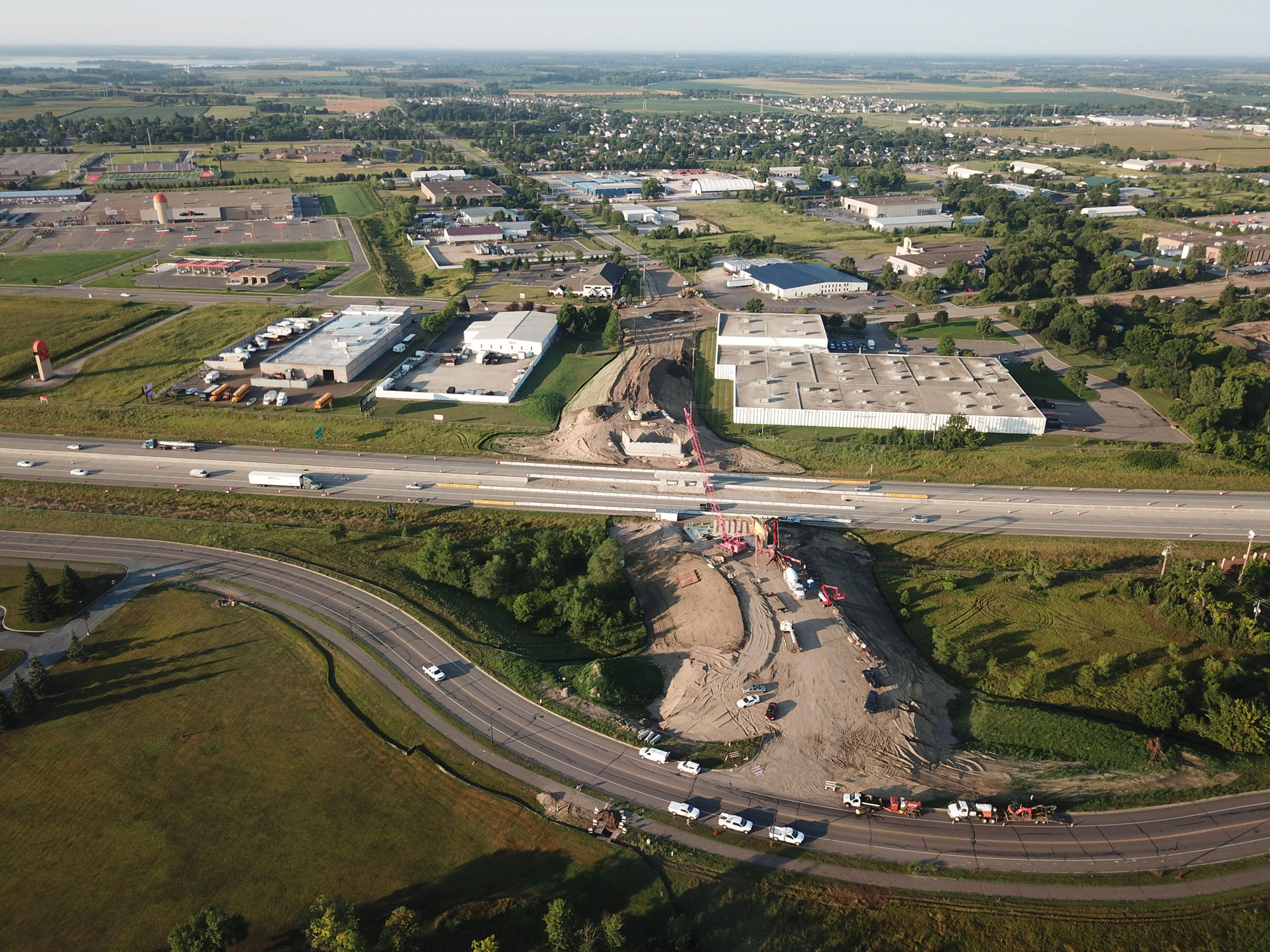
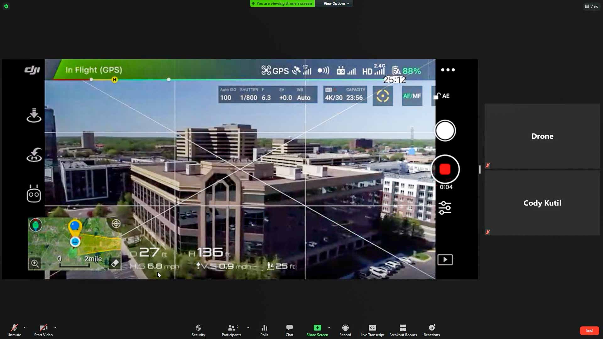
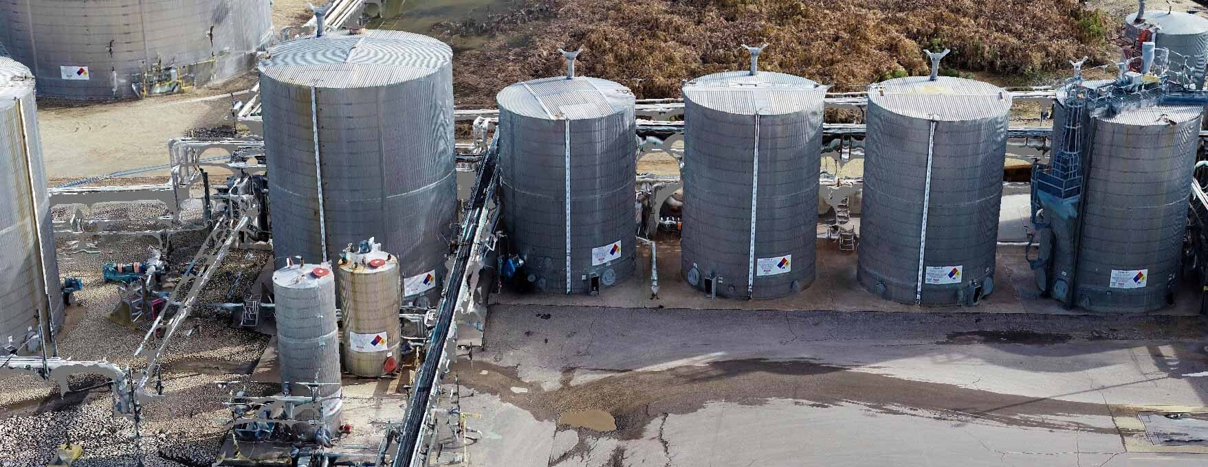
Through visual imagery we share the story, progression, and transformation of the projects that shape our lives. Getting up-to-date imagery and surface elevation aids us in making better decisions for our clients. One way we accomplish this, is through Unmanned Aerials Systems (UAS), or drones. WSB offers leading UAS technology and industry experts experienced in flight planning, data collection, and project delivery.
Photography/Videography
Aerial Panoramas
Live Inspection
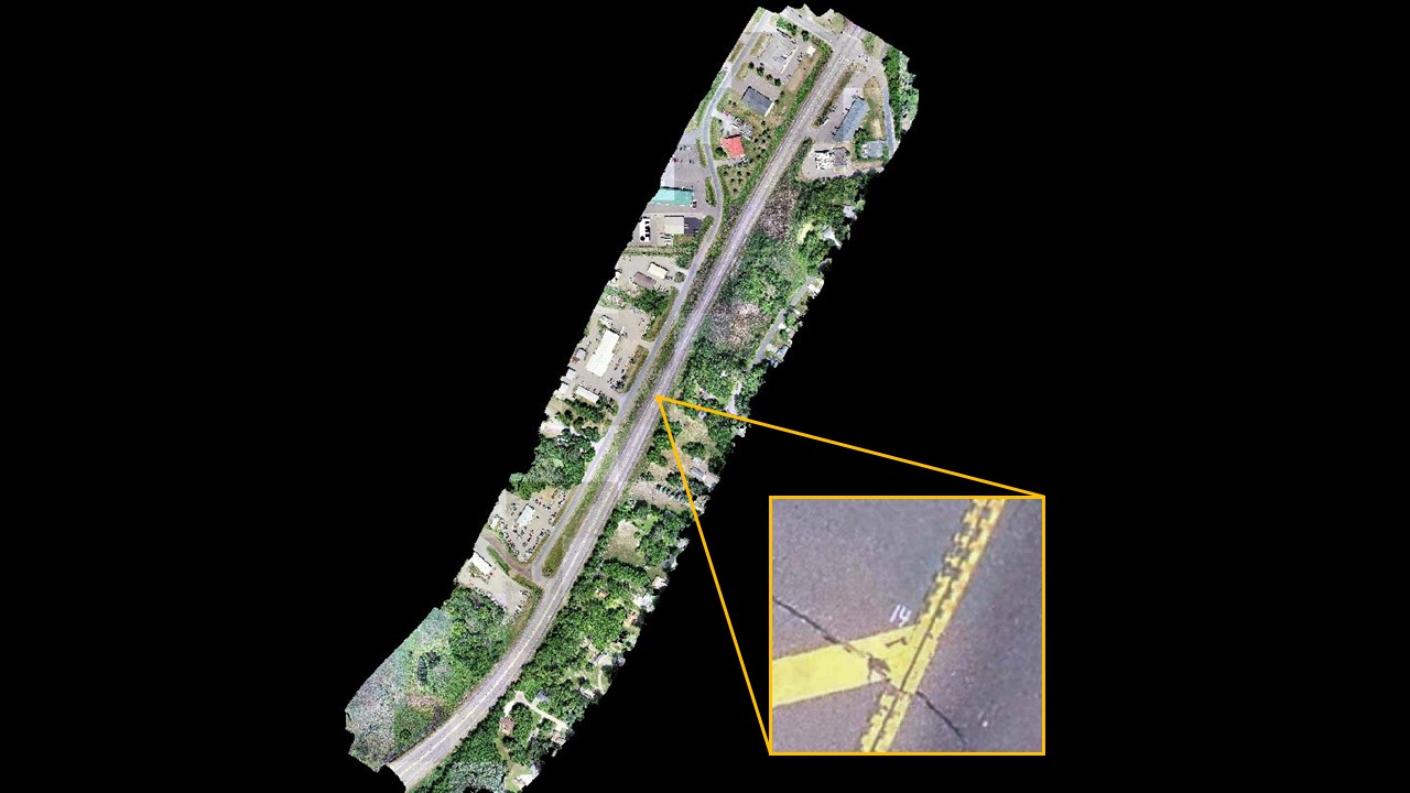
Basemap Imagery
We partner with our clients and communities to build what’s next in infrastructure—the places, spaces and systems that support our lives.