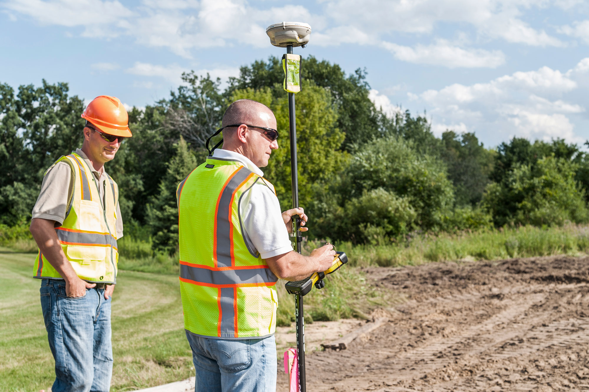
Pete Helder is Director of Survey at WSB, with more than 35 years of experience in the survey and construction industry. Pete has led surveying efforts across municipal, land development, energy and infrastructure projects, with expertise in ALTA/NSPS Land Title surveys, boundary and topographic surveys and right‑of‑way platting. His background includes coordinating survey crews, supporting design for streets and subdivisions and delivering clear, defensible survey information that supports ownership, access and construction decisions. Pete brings a practical, detail‑driven approach to his work and continues to build trusted client relationships through consistent delivery and technical leadership.
What Do You Enjoy Most About Surveying?
What I enjoy most about surveying is the mix of precision, problem-solving, and people. I especially enjoy ALTA/NSPS land title surveys and boundary surveys because they require you to be thorough—researching record documents, weighing evidence in the field, and then turning all of that into a clear deliverable that a title company, lender, owner, and design team can rely on. I like the challenge of resolving questions before they become issues, and I take pride in producing work that is defensible and easy for others to use. As of the past 6 years or so I genuinely enjoy the client development side of survey— building relationships, understanding what a client needs from the survey, and being the person they trust to deliver consistently.
What is the Significance of Surveying?
Surveying is critical because it establishes a reliable source of truth for property and design decisions. For ALTA and boundary work, which means providing certainty around ownership, access, easements, encroachments, and improvements—information that directly supports title, financing, due diligence, and risk management. On the design and construction side, accurate control and topographic information keep teams aligned, reduce rework, and help projects get built where they’re supposed to be. When the survey is right and clearly communicated, it prevents disputes, saves time and money, and gives every stakeholder confidence to move forward.
What Inspired You to Pursue a Career in Surveying?
I was drawn to surveying because it fits how I like to work: hands-on and detail-oriented, with real responsibility behind the finished product. I like that surveying combines field work, record research, and technology, and that good judgment matters as much as good measurements. As I got more exposure to ALTA and boundary surveys, I realized I enjoyed this type of work the most, tracking down the right documents, reconciling record information with field evidence, and producing a map that tells the story clearly. Over time, the client-facing part became just as rewarding; listening to what a client is trying to accomplish and delivering a survey they can trust for decisions and deadlines.
What is a Project You Enjoyed Working On?
One project I especially enjoyed was the Catalina I & II Solar Project—it was our first utility-scale solar project in California. It was exciting because it combined the parts of surveying I like most: careful boundary and records work, efficient field execution over a large site, and strong communication with the broader project team plus I got to travel there weekly while it was freezing cold here in Minnesota. With a project of that scale, there’s a lot riding on getting the boundary, access, and existing conditions documented clearly so the owner, engineers, and contractors can make decisions with confidence. I enjoyed being part of a team that helped set the groundwork for a successful build, and it was rewarding to see our survey work directly support the project as it moved forward.