Projects
City of Champlin GIS Implementation
Location:
Champlin, MN
Expertise:
Technology
Services:
GIS Services
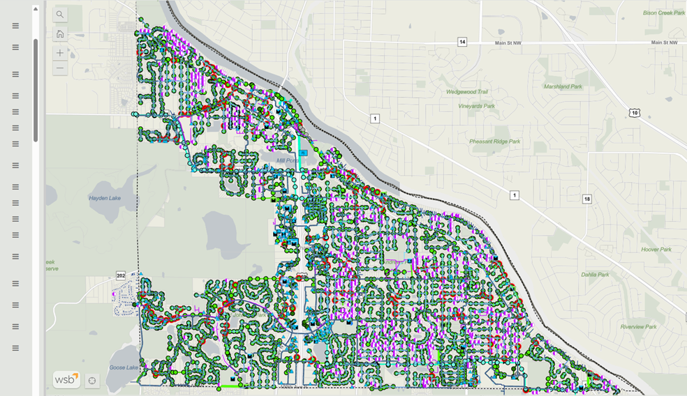
Champlin is an example of a GIS migration project that led to a long-term relationship between the city and WSB. This project consisted of GIS data migration, an ArcGIS Online and ArcGIS Enterprise implementation, and in-depth staff training on both desktop GIS and field applications. The success of Champlin’s data migration and GIS implementation is evident as the city has continued to work with WSB on a yearly GIS scope of services for nearly 20 years.
This project began by developing a Strategic GIS Plan that included detailed requirements analysis, system designs, data migration, application design, deployment, a training plan, and a technical support plan.
Other GIS Services that have been provided include implementing WSB’s Datafi web mapping application, assisting the City in the implementation of an Enterprise Asset Management System, creation of customized desktop and field applications, and providing one-on-one GIS training. A key application developed for the City was a construction inspection application. Using a Suvery123 form, City staff are able to complete on-site inspections, attach photos, make dewatering observation, record any maintenance items, and submit directly into their GIS system. The frontend web application developed for this included a fully automated report generation module formatted the inspection information and photos into a PDF report.