July 15, 2025
By Lori Johnson, Sr Professional Community Planner I, WSB
When thinking about an aging population, it is becoming increasingly important for local governments to prioritize senior residents. By implementing creative and forward-thinking measures, communities can enhance the quality of life for older adults.
With the demand for senior housing only growing, embracing innovative housing solutions means local governments can create vibrant and age-friendly communities that prioritize the welfare and dignity of senior citizens. Inclusive infrastructure and understanding the diverse demands and needs of seniors can also help set up communities for success.
Here are three ways communities can plan for and invest in solutions that accommodate older adults.
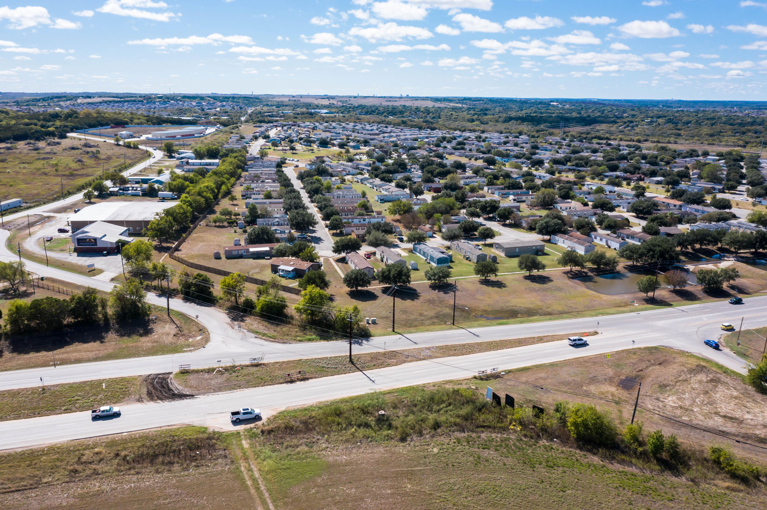
Understand the Value of Multi-Unit, Multi-Generational and Affordable Housing Options
Many communities are adopting and updating zoning ordinances to provide more flexible and affordable housing for seniors.
Accessory dwelling units (ADUs), for example, can foster intergenerational connectivity. ADUs are separate, detached or attached, living units located on the same property as an existing single-family home. Many aging individuals prefer to live in proximity to their families for companionship and support. Local governments can revise zoning regulations to accommodate ADUs, allowing seniors to maintain independent living while staying close to their loved ones. Moreover, these additional living spaces are often more cost-effective and provide flexibility in housing options that allow seniors to age in place while preserving their privacy and autonomy.
Repurposing larger, older homes in existing neighborhoods allows you to provide a certain level of care and companionship to older adults in a residential setting. Revisions to existing ordinances will allow single family homes to be converted into multi-family units for senior group care.
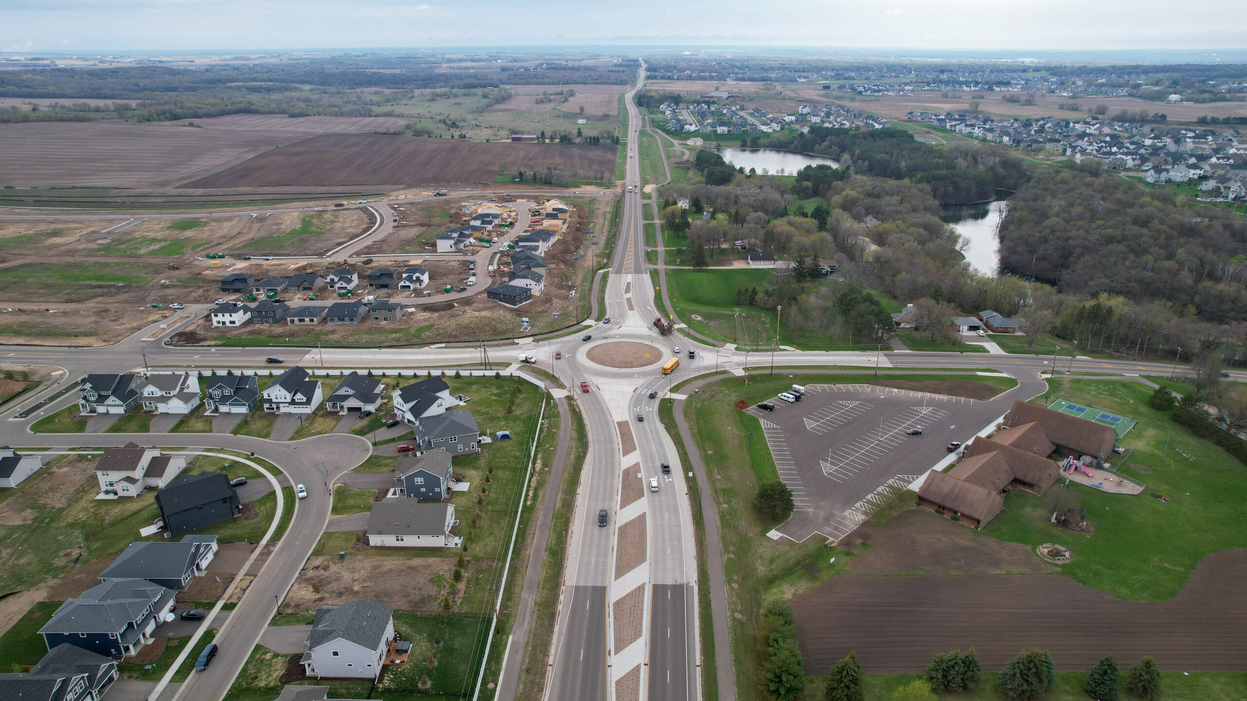
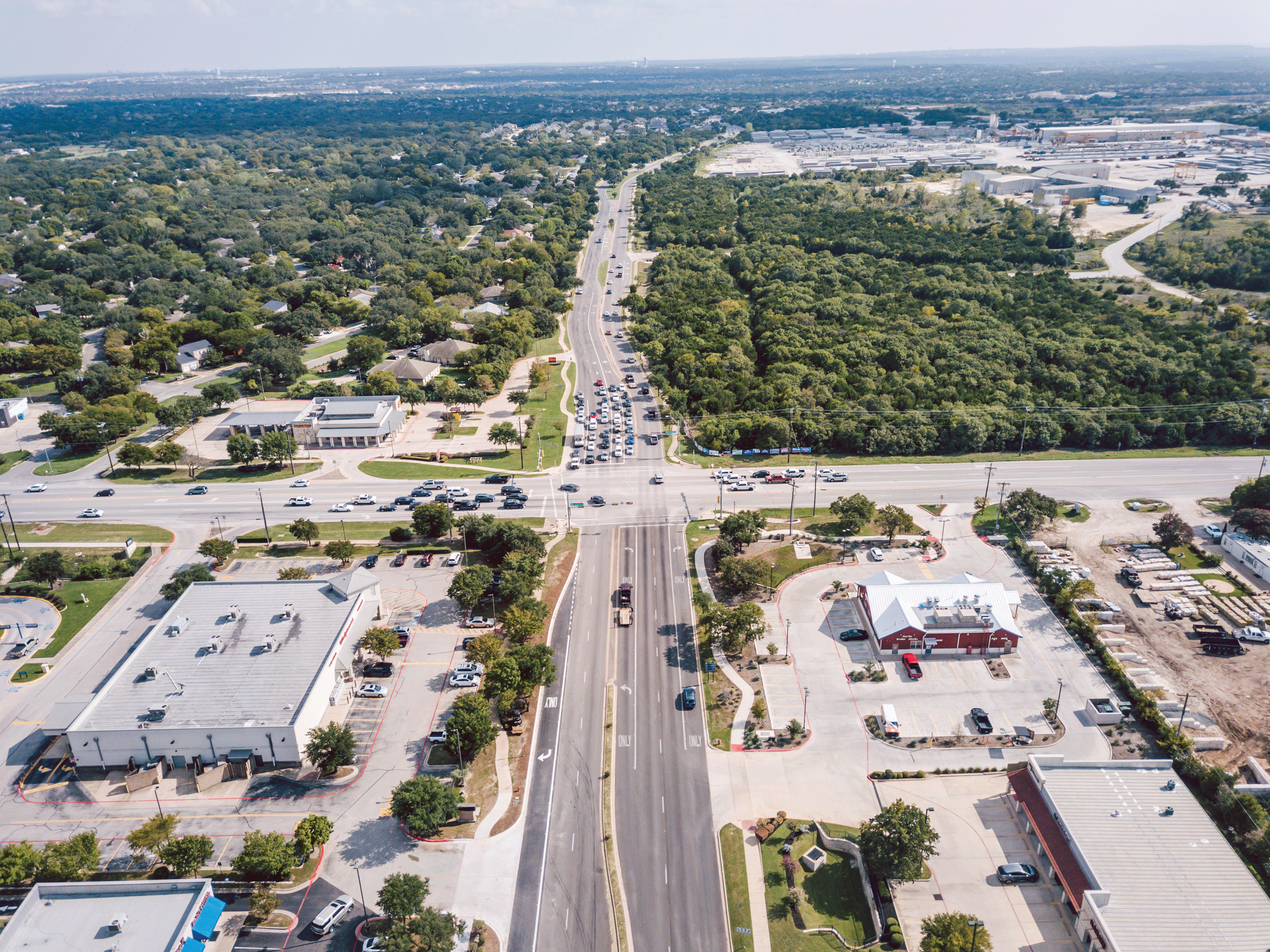
Rethink Parking Lots and Open Spaces
With an aging population building senior accommodations, is another effective approach to encourage the inclusion of open spaces in the design of structures and sites through specific ordinances requirements. Traditionally, apartment buildings require vast parking spaces, resulting in a sea of concrete that limits green spaces.
By rethinking parking requirements, local governments can convert excessive parking areas into open spaces for the enjoyment of residents. These green spaces provide opportunities for exercise, social interaction and relaxation, contributing to a healthier and happier community for seniors.
Another option for incentivizing the construction of senior housing is to look at ways to reduce the required park dedication fees for senior housing, nursing homes and memory care facilities. Specifically for nursing homes and memory care facilities, it is not common for residents of these facilities to use a community’s parks and open spaces, thus an argument can be made for not requiring park dedication fees for the development of senior facilities.
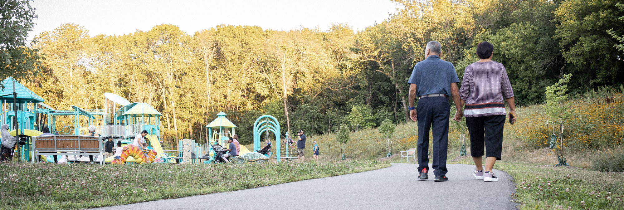
Build Inclusive Communities & Infrastructure
Local governments can prioritize the needs of senior citizens by ensuring they are listening to and understanding the needs of various populations. Creating walkable neighborhoods with well-maintained sidewalks, installing accessible public transportation systems and fostering age-inclusive community centers can help support a high quality of life for seniors and support an aging population. Such initiatives empower seniors to actively engage in social and recreational activities, reducing isolation and promoting a sense of belonging.
Also, for seniors, their needs are not universally the same, and communities must consider cultural practices, income, religion, and medical care needs when planning on how to accommodate a growing senior population. Mental health must also be considered and providing increasing levels of services for residents as they age is critical, especially for seniors with Alzheimer’s or dementia.
How WSB Can Help
Local governments play a pivotal role in enhancing the lives of senior citizens. At WSB, we can help communities craft ordinances that meet the needs of any city as it relates to senior housing, whether it be ADUs, group care homes, or multi-family housing. We have experience with financing tools housing developers use to ensure the end product is affordable for seniors. We can also help identify and secure grant funding for key affordable housing and accessible infrastructure projects.
At the end of the day, all of us will be impacted by our aging population, whether for ourselves, for a parent or for a loved one. Communities must work collaboratively and think creatively to ensure a high quality of life for our nation’s aging population.