Up-to-date visual documentation for smarter infrastructure decisions
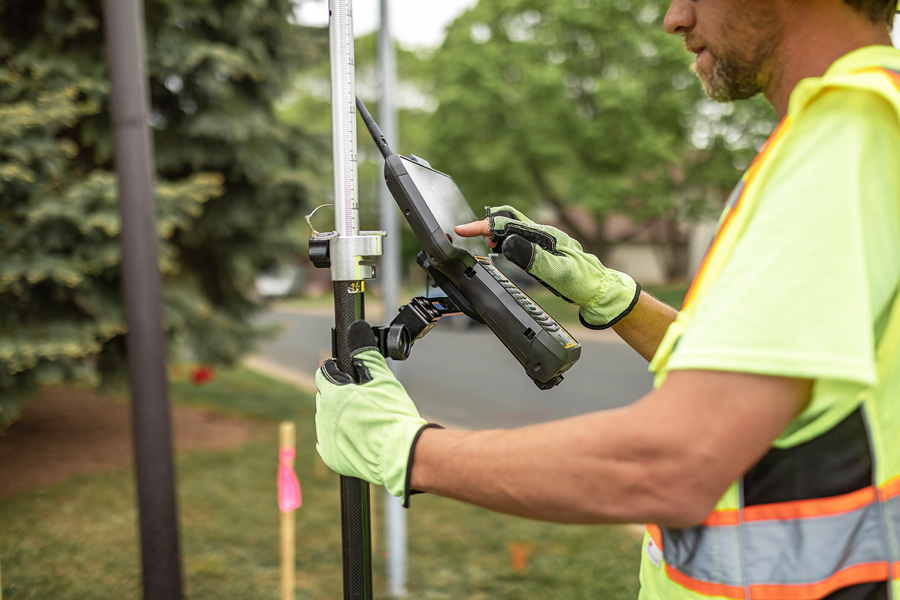
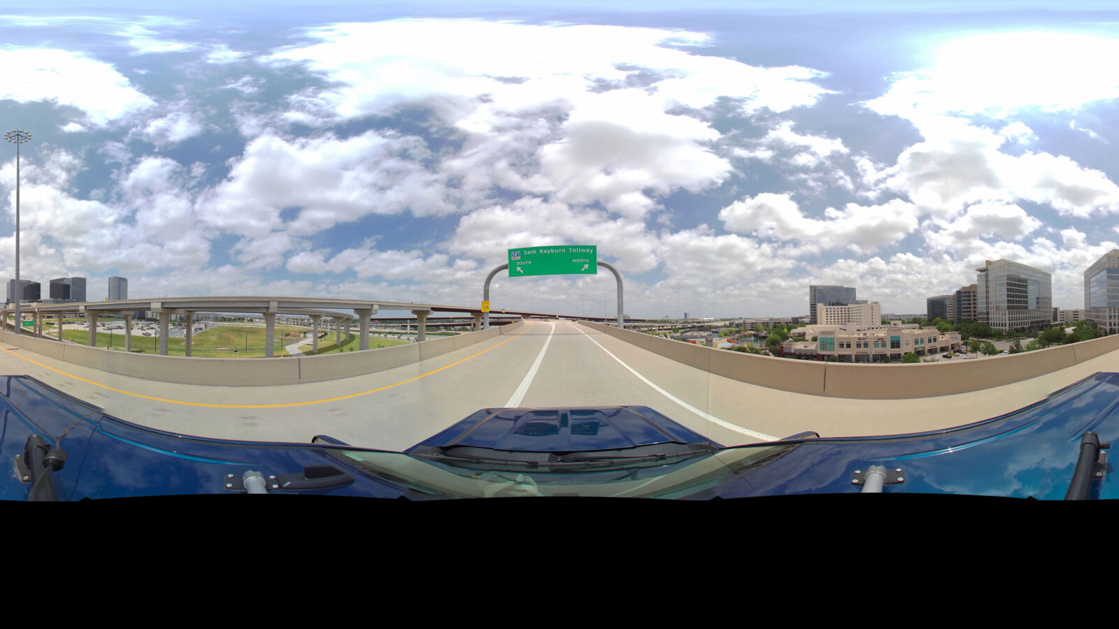
WSB 360° captures high‑resolution, street‑level 360° imagery to create accurate visual documentation of infrastructure assets as they exist today. This imagery supports asset detection, mapping, and classification, with data delivered directly to GIS and Asset Management Systems—integrating seamlessly into existing geospatial workflows.
Contact Us