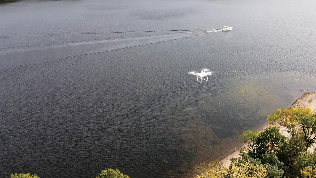
Remote sensing is the science of detecting and monitoring the physical characteristics of an object or area by measuring its reflected and emitted radiation from a distance.
Key Technologies include:
- Photogrammetry
- LiDAR (Light Detection and Ranging)
- Thermography
- Magnetometry
- And many more..
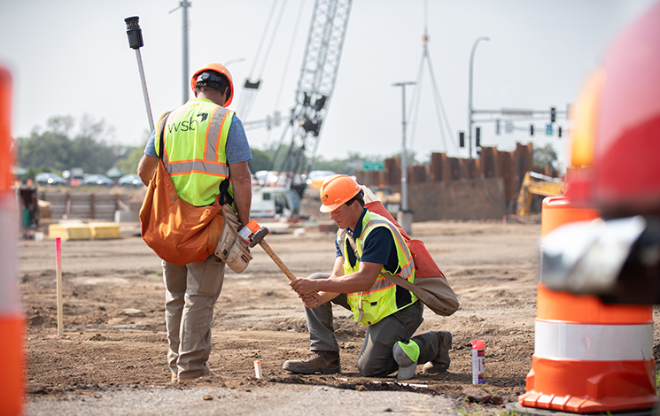
Remote sensing at WSB is elevated by our position as a full-service design and consulting firm, offering clients a unique competitive advantage. Our integrated expertise across engineering, design, and consulting ensures that high-resolution aerial data is seamlessly transformed into actionable solutions, supported by decades of experience and the collaboration of specialized teams. This comprehensive, in-house approach streamlines projects, enhances accuracy, and delivers superior outcomes—empowering clients to meet every challenge with confidence.
Remote Sensing Support Services Include:
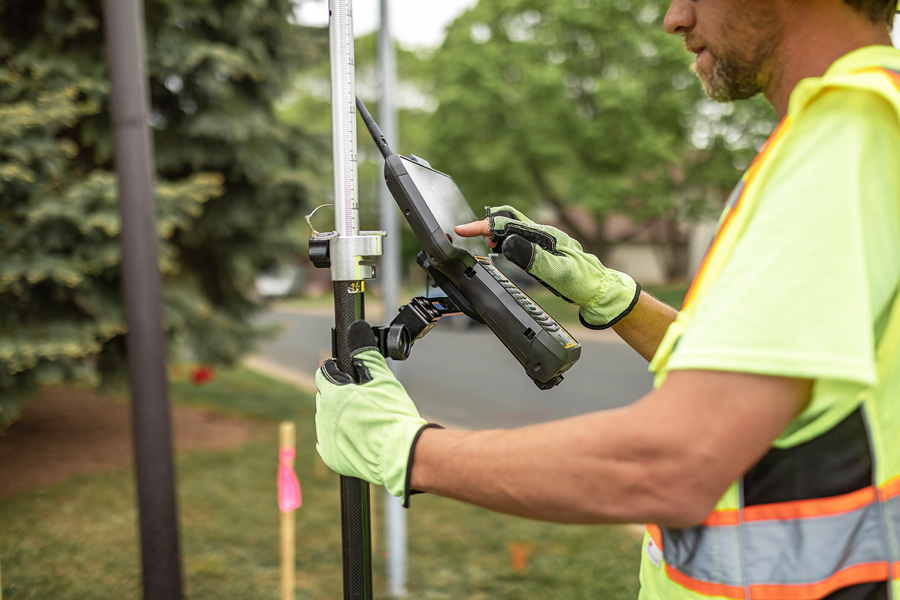
- Land development
- Transportation planning
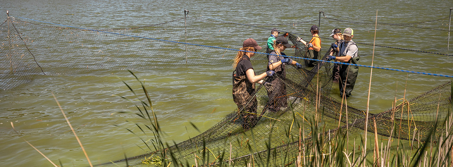
- Infrastructure monitoring
Whether it’s a large-scale infrastructure build or a specialized development, WSB’s remote sensing capabilities are scalable and adaptable, ensuring the right data is captured for every unique challenge.
Remote Sensing Provides:
- High-resolution topographic data
- 3D models
- Change detection insights with minimal field disruption
With a dedicated remote sensing team, WSB supports clients through every phase of a project, from early site analysis to final construction verification.
How it Helps:
- Gain a competitive edge with high-resolution aerial imagery that streamlines project planning, design, and execution—delivering greater accuracy and efficiency from the outset.
- Experience dedicated support at every phase of the project, from early site analysis to final construction verification, ensuring expert guidance when it matters most.
- Transform workflows by integrating remote sensing into traditional surveying, resulting in faster data collection with greater detail. Make better decisions and achieve superior results on every project without stepping foot on site.